
Two approaches from the village
Avalanche Peak is the only summit in Arthur’s Pass marked by a poled route. From SH73, two starts about 700 m apart offer different ways to reach it: the track behind Arthur’s Pass Visitor Centre climbs beside Avalanche Creek, while Scotts Track begins near Punchbowl car park. The listed climb from the village is 2.5 km one way, with 1,100 m vertical climb.
For a circuit, the recommended approach begins at the visitor centre. The rocky track climbs through mountain beech/tawhairauriki on the south side of Avalanche Creek, whose steep bluffs form waterfalls visible from the highway and occasionally from the track. As the route leaves the creek and reaches the bushline, views open down the Bealey valley to Cora Lynn Station, Black Range and Mount Bealey. DOC
Where track becomes route
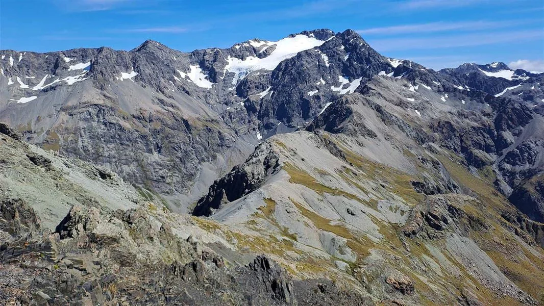
At the bushline, the character changes: the tramping track gives way to a route marked by cairns and coloured poles. Yellow marks the Avalanche Peak Route; orange marks Scotts Route. From here, the yellow-marked line follows a narrow ridge between the Rough Creek and Avalanche Creek catchments, through tussock and subalpine vegetation. Mt Rolleston (Kaimatau), with Crow Glacier on its southern side, rises beyond the ridge. DOC
The upper ridge becomes increasingly rocky and narrow, with steep drop-offs. It flattens at 1680 m, still 20-30 minutes short of the summit; the route then drops into a basin and climbs scree beside bluffs. The final section joins the orange markers, signalling the shared return stretch before Scotts Route branches away. Poor visibility, high winds, or ice and snow on this ridge are reasons to turn back. DOC
A circuit or a return
On the circuit, Scotts Route leads northeast from the summit toward Mount Cassidy, on the eastern side of the Bealey valley. Stay on the ridge marked with orange poles: steep drops fall toward McGrath Creek, and a hidden canyon blocks a cross-country shortcut between routes. The route descends through tussock into a tongue of bush before Scotts Track resumes. DOC
Scotts Track follows the ridge between McGrath and Wardens creeks, then turns south across streams and bog patches. It is considerably less steep than Avalanche Peak Track and meets the road about 700 m west of the visitor centre, continuing across the road to Punchbowl car park. The highway is unsafe to walk on. For an up-and-down outing, Scotts Track/Route is the recommended, less steep option; note the route carefully for the return through the bush. DOC
Conditions shape the choice
This is an outing for well-equipped trampers with previous back-country experience. Summer and autumn are the listed best seasons. The exposed route is prone to avalanches in winter and spring; during winter, good alpine experience and an ice-axe and crampons are necessary. Check current track conditions and the avalanche advisory with Arthur’s Pass Visitor Centre before setting out, and avoid the route in poor visibility or high winds. Dogs are not allowed. DOC
Sources & further reading
Sources, dates, or details to query? Read our editorial approach.


