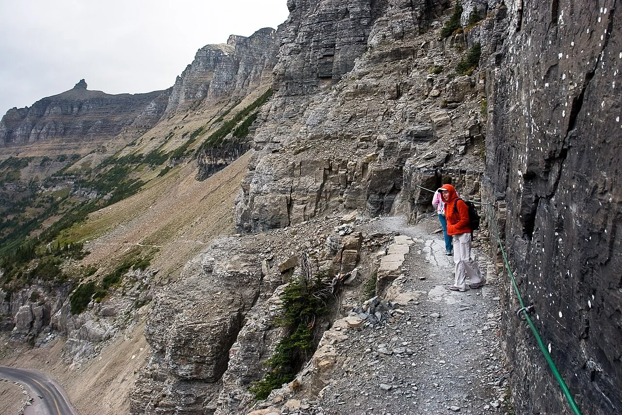
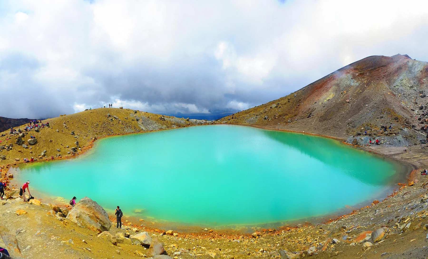
Contour lines help translate a topographic map into a picture of slope, ridges and drainage. Learn how to use that terrain view, estimate effort and keep map information separate from live trail conditions.
Learn what a streamgage measures, why a reading applies to one place, and how to combine flow data with the route, weather, and current land-manager guidance.
Build an overnight ride from confirmed bicycle access and a permitted place to sleep, then test the miles, surface, water, and return plan between them.
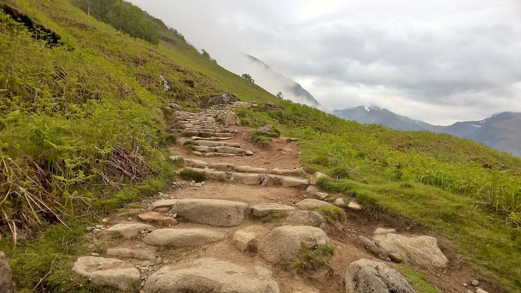
A useful turnaround point is a decision made before the trail tests the schedule. Combine distance, elevation, daylight, conditions and the slowest pace in the group.
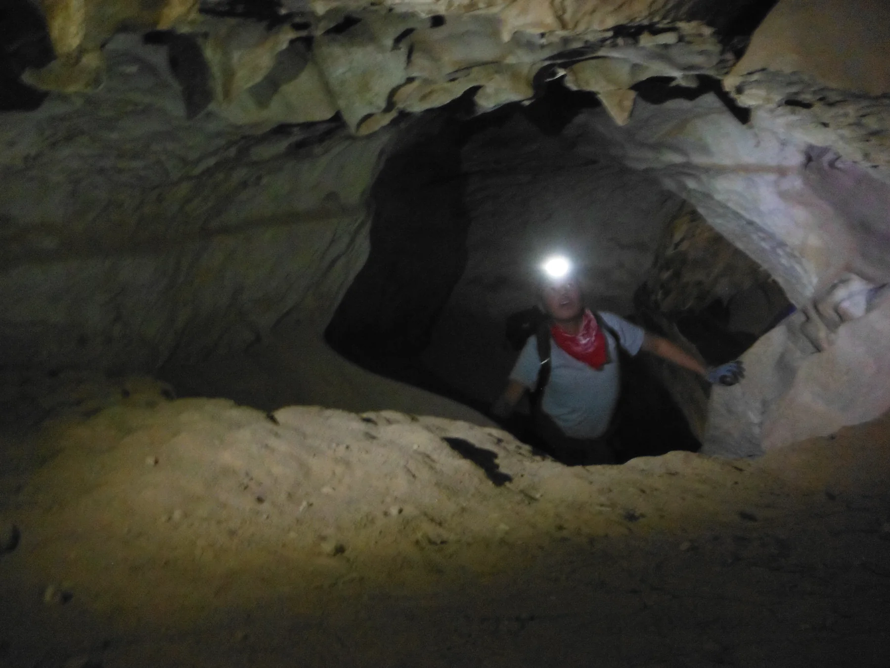
A dirt-and-rock climb from East Montezuma Canyon Road reaches a large undeveloped cavern, where the approach’s loose footing and slick descent make preparation part of the outing.
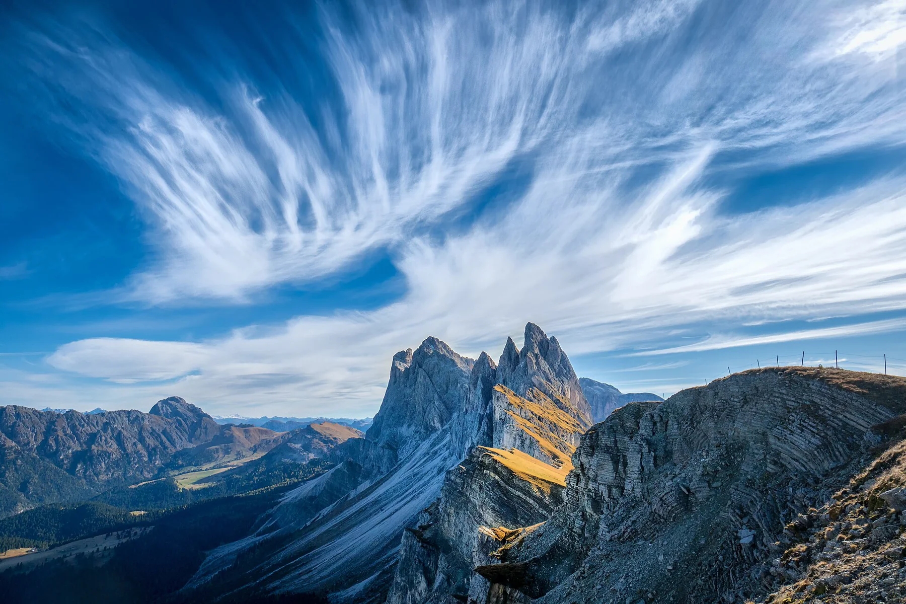
Seceda’s summit cross, Pieralongia’s two pinnacles and the Mastlé terrace belong to different walks—and one advertised return needs a closed chairlift.