Start almost at sea level
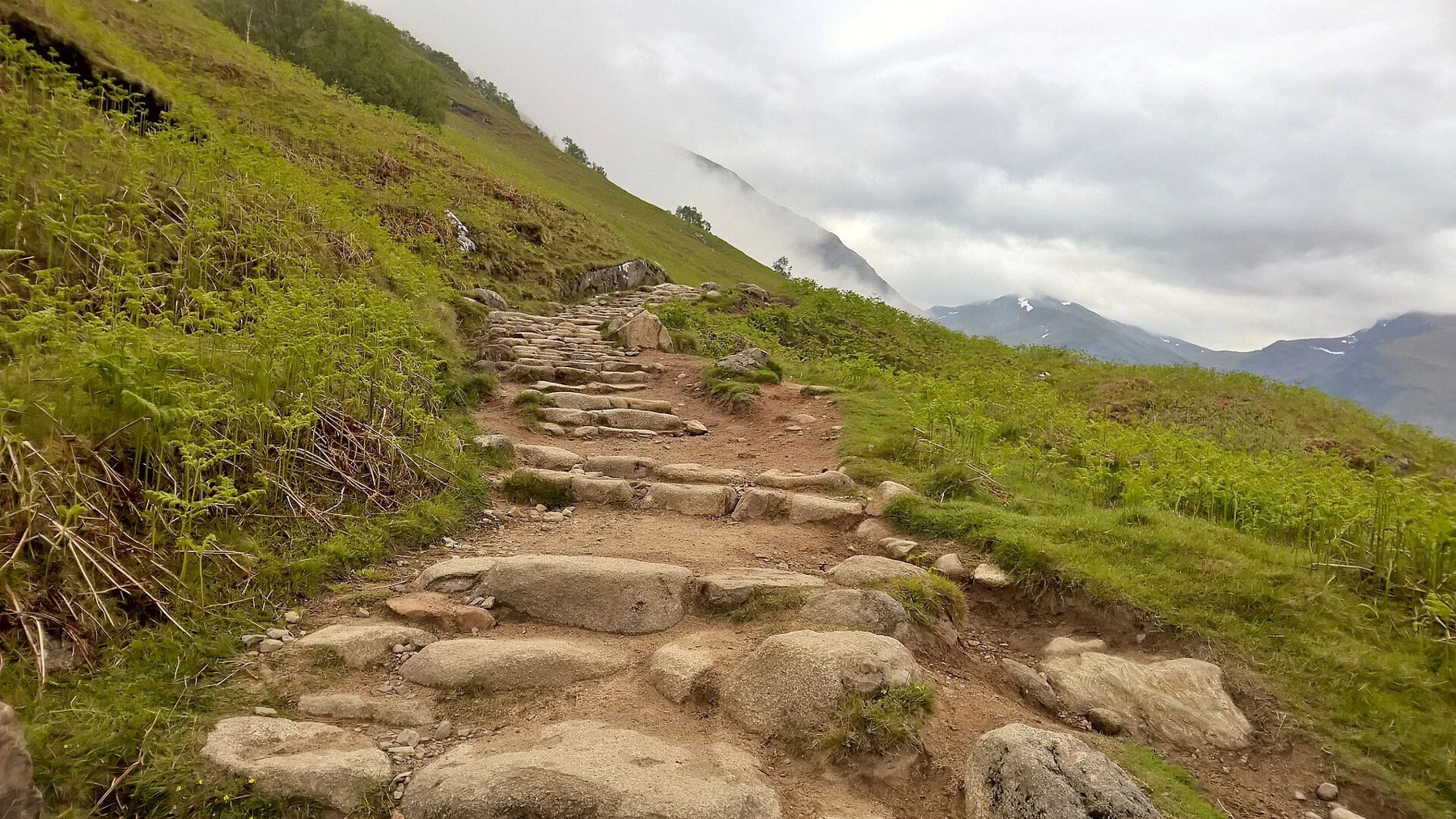
The Mountain Track begins at the Glen Nevis Visitor Centre/Achintee area, only about twenty metres above sea level. The summit of Ben Nevis is 1,345 metres. That contrast explains the day more clearly than the familiar description of a popular path: almost the whole height of the mountain still has to be climbed. Route source
The local Mountain Path leaflet gives sixteen kilometres return and a usual six-to-eight-hour estimate. It is explicitly written for June-to-September walking. Its timetable is useful summer context, not an endorsement of the same plan in October snow. Route source
The lochan is a junction, not the top
The path rises toward Lochan Meall an t-Suidhe before continuing higher. Near the lochan, the summit route and the North Face direction must be distinguished. Red Burn is around the halfway stage; above it the ground becomes rockier and the route works through a long sequence of zigzags. Route source Route source
These named stages make the climb easier to assess honestly. A pause at the lochan can feel like a major arrival, but the higher mountain still lies ahead. Keep the time already used in perspective against both the remaining ascent and the whole descent.
The plateau requires an accurate exit
The broad summit area lies close to serious terrain. The local leaflet identifies the northeast cliffs and Five Finger Gully as reasons for careful navigation, especially in cloud or snow. Cairns, footsteps and the existence of a broad path lower down do not replace that skill. Prepare the summit navigation before leaving Glen Nevis, including the return in poor visibility. Route source
The alternative Carn Mor Dearg Arête is a more demanding scramble with a different approach from Torlundy. It should not be treated as an adventurous variation to add casually to a Mountain Track day. Route source
What the ruins were built for
The summit’s ruined observatory operated from 1883 to 1904. Its remains connect the mountain to a period of high-level weather observation, adding a specific history to the arrival. The summit shelter is for emergencies. Plan a complete descent to Glen Nevis rather than relying on a building at the top as the day’s safety margin. Route source Route source
Sources & further reading
Sources, dates, or details to query? Read our editorial approach.