Madeira · Portugal
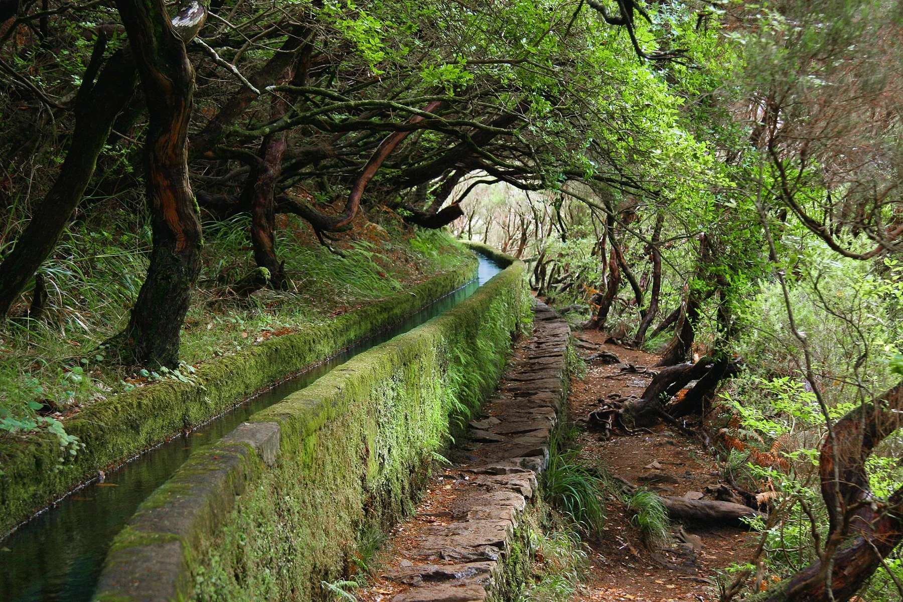
Rabaçal’s 25 Fontes: two waterfalls, one busy levada valley
The spring-fed 25 Fontes pool and Risco’s vertical waterfall are separate objectives in Rabaçal’s levada landscape.
· 2 MIN READ · 8.6 km return ADVENTUREWORLDMAGAZINE
A journal for
the endlessly curious.
The magazine
Specific trails, rivers, coastlines and game worlds, with the detail that makes each one different.
Madeira · Portugal
The spring-fed 25 Fontes pool and Risco’s vertical waterfall are separate objectives in Rabaçal’s levada landscape.
· 2 MIN READ · 8.6 km returnFort Pulaski · USA
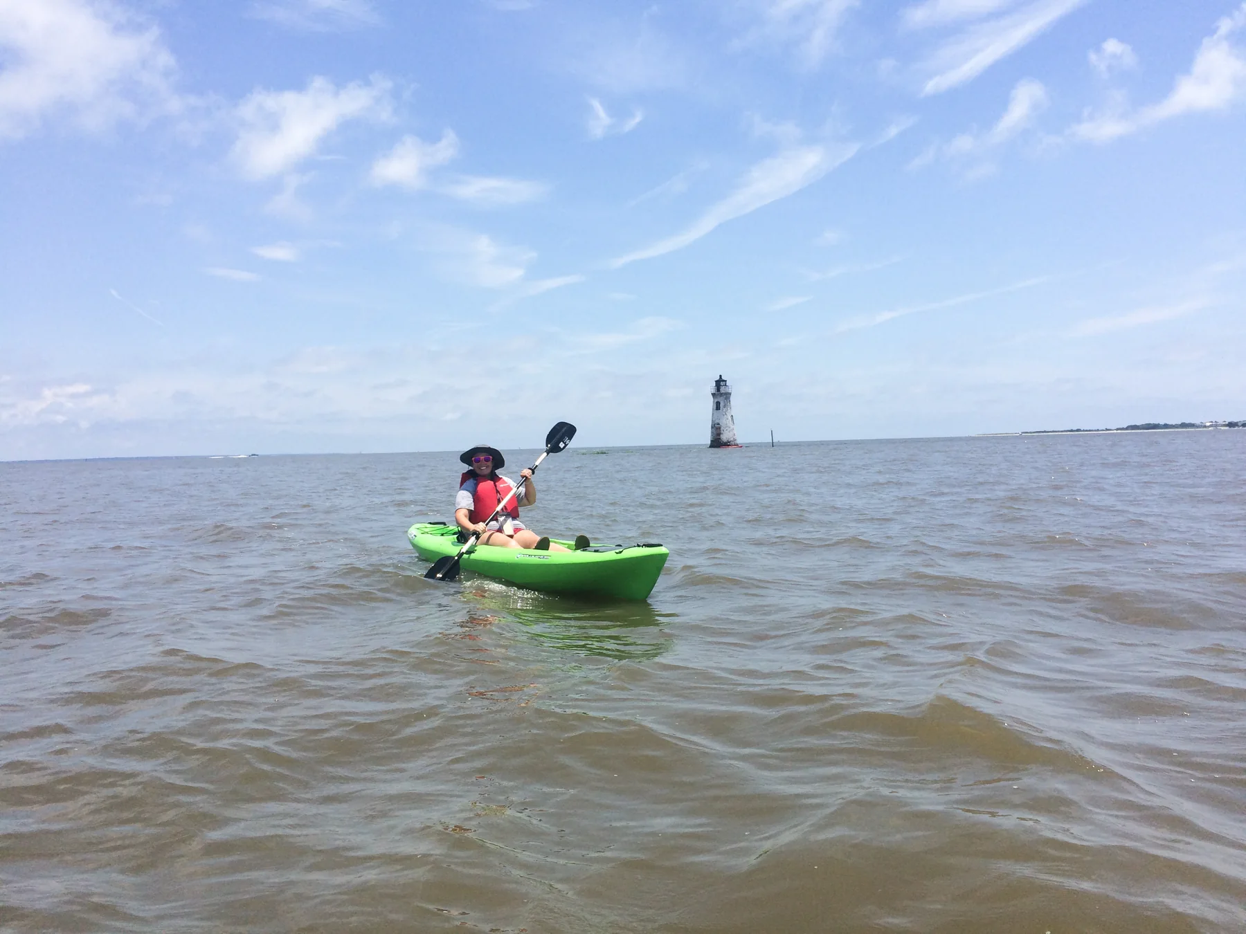
The park’s sole boat ramp opens access via Lazaretto Creek to the Savannah River’s South Channel and sheltered Oyster Creek, with tides defining the outing.
· 2 MIN READKaloko-Honokōhau · USA
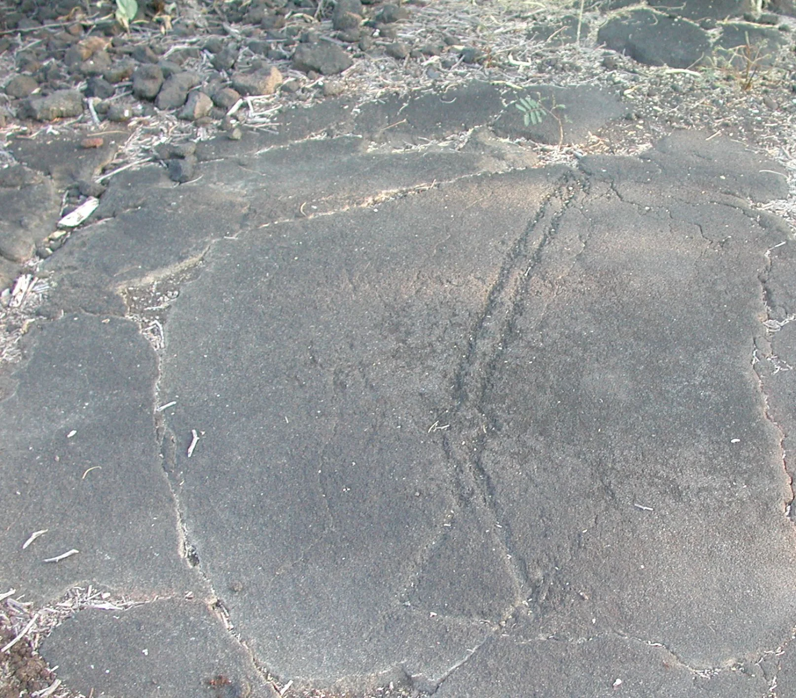
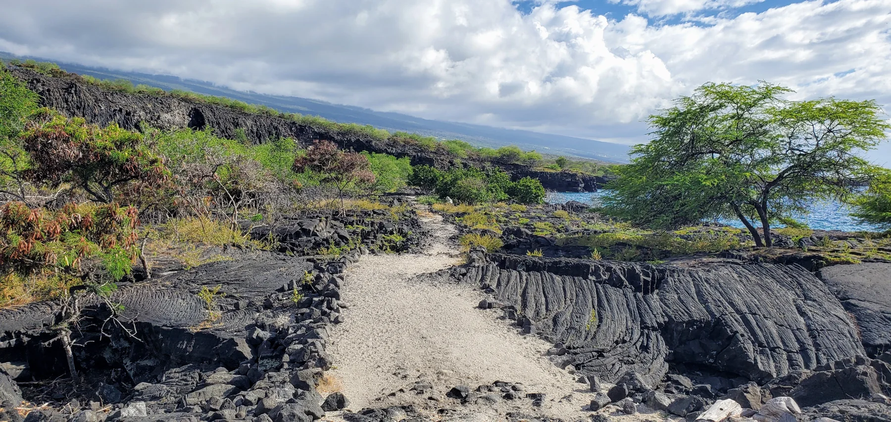
A mostly flat walk across lava terrain leads from the visitor center to carved horizontal rock panels, where images of weapons, ships, and human figures invite careful interpretation.
· 2 MIN READ · About 1/2 mile (visitor center to boardwalk)Otago · New Zealand
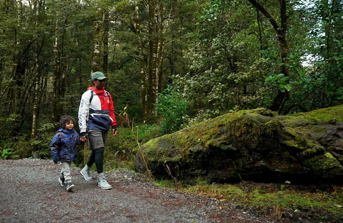
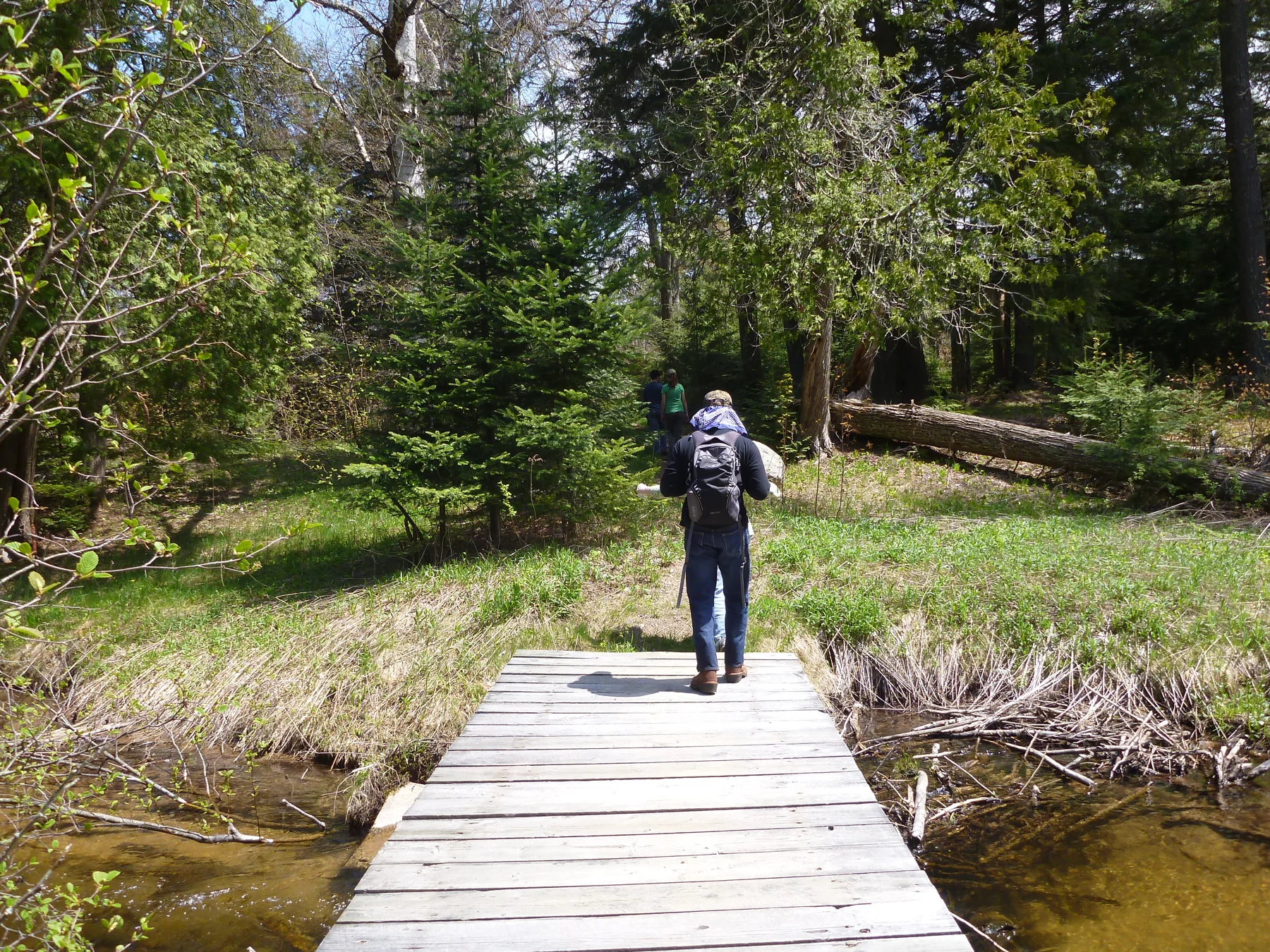
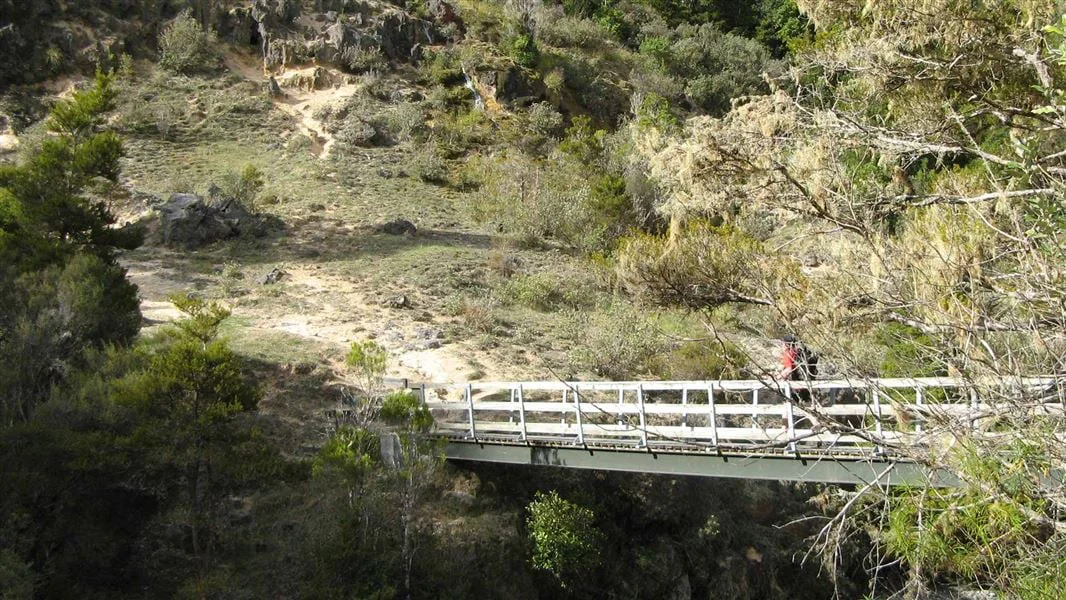
A gravel path through silver beech leads from the Haast Highway to two swing bridges above the Makarora River and the snow-fed Blue Pools.
· 2 MIN READ · 3.2 km return via same trackFiordland · New Zealand
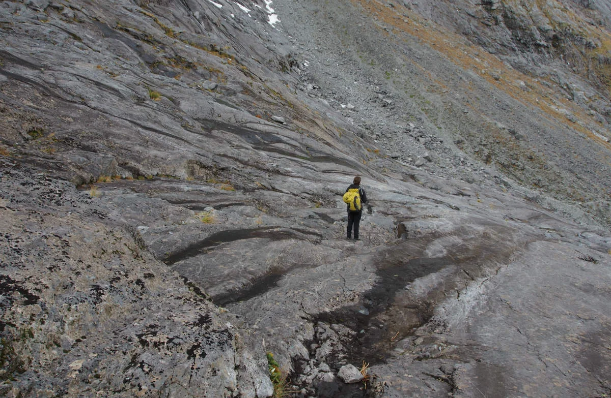
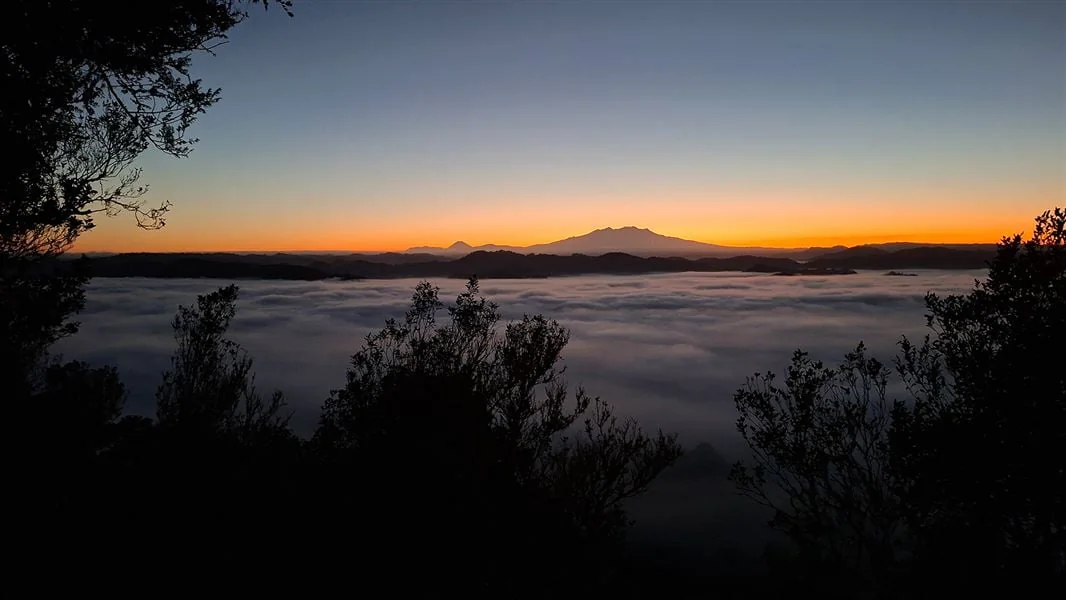
From Gertrude Valley carpark, this alpine route climbs past Gertrude Stream and Black Lake toward a boulder-strewn saddle above the valley and Milford Sound/Piopiotahi.
· 3 MIN READ · 7 km returnPictured Rocks · USA
Choose among Pictured Rocks routes from Miners Falls and Au Sable Light Station to Chapel Basin cliffs, with distinct surfaces, pet rules, trail lengths, and access constraints.
· 3 MIN READ · 10.5 miles full loopNelson/Tasman · New Zealand
This damaged creek-valley route crosses the Roding River and Hacket Creek before reaching Miner River and Hacket Hut, with marked slips and rockfall shaping the outing’s choices.
· 2 MIN READ · 11.4 km returnNewfoundland · Canada
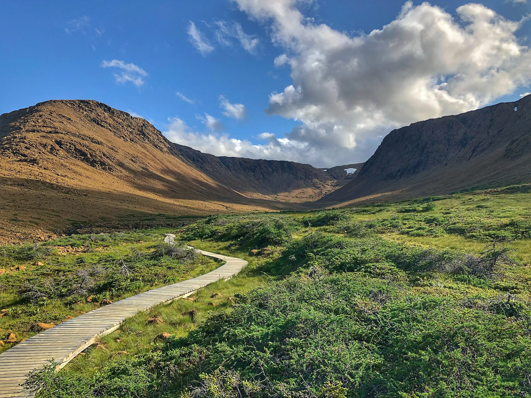
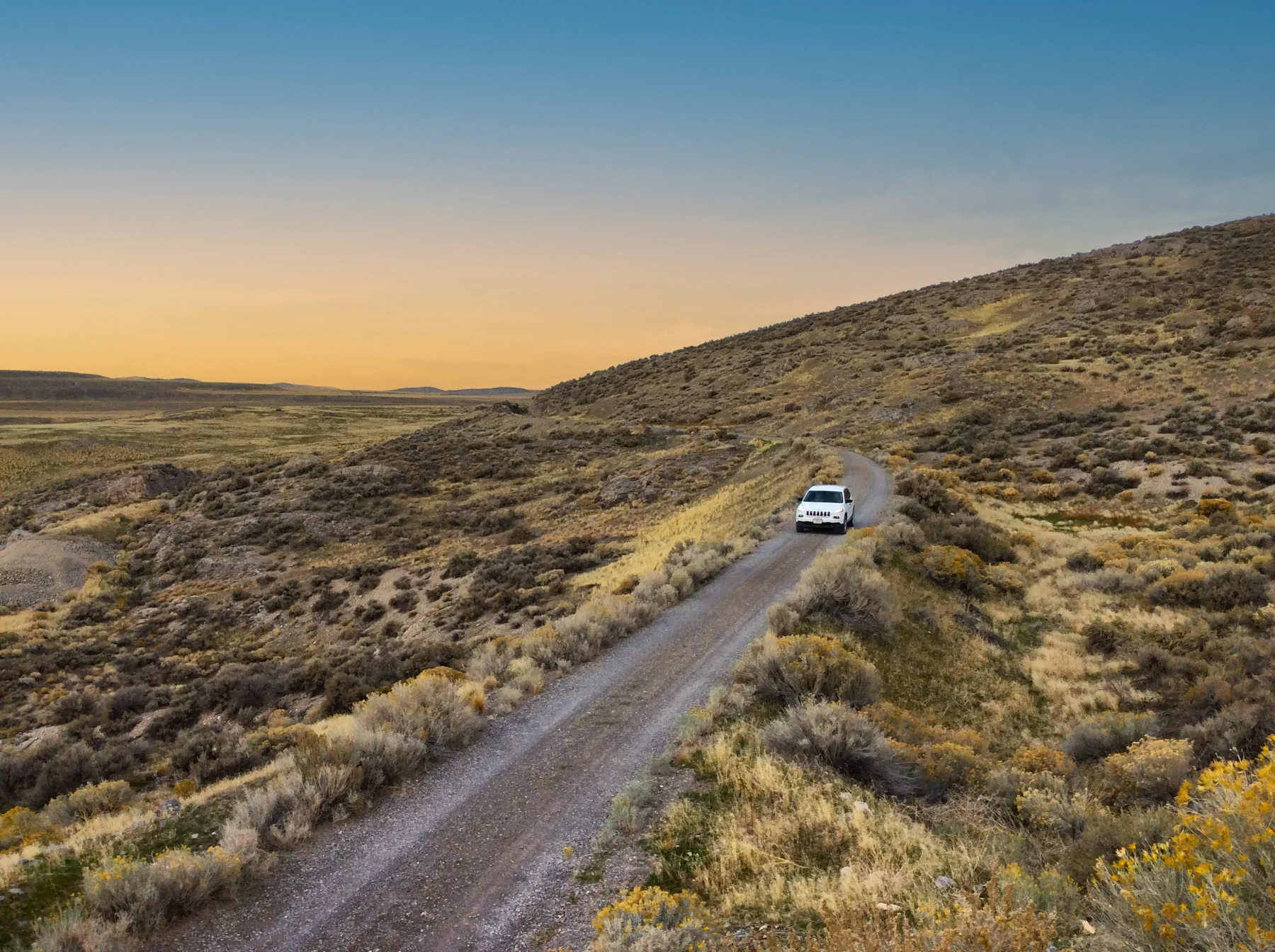
An old roadbed beneath orange mountains leads toward Winter House Brook Canyon, through rock once formed in Earth’s mantle.
· 2 MIN READ · 4 km returnManawatu/Whanganui · New Zealand
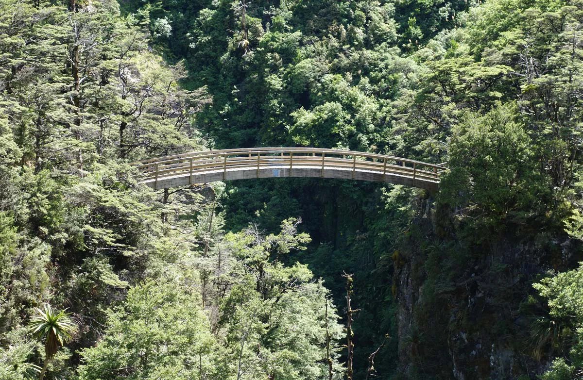
A steady benched climb from Renfrew Road crosses the Mangahuia Stream ravine by an arched bridge, passes a waterfall and reaches a hut above the bush line.
· 2 MIN READPadre Island · USA
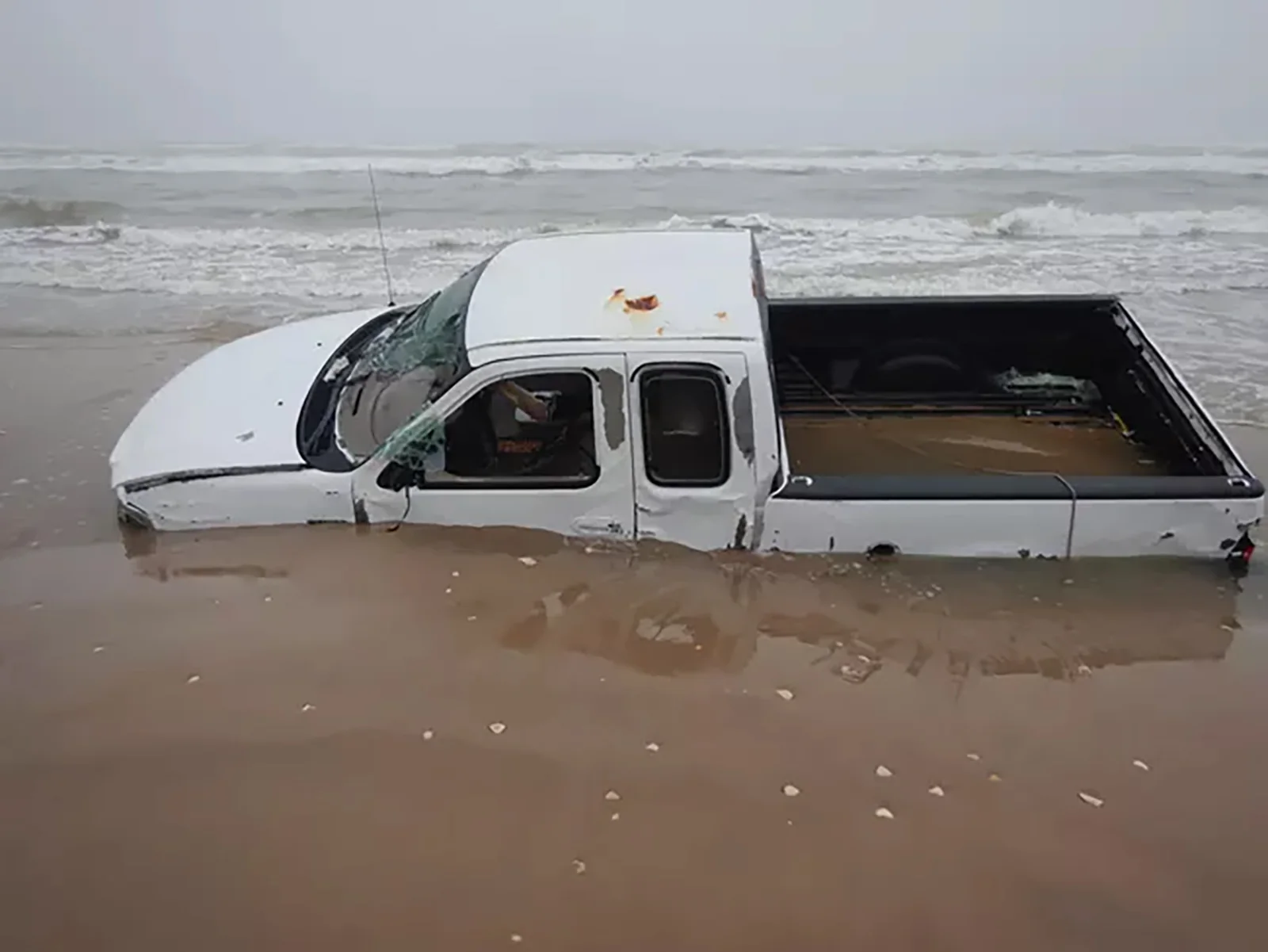
Beach driving reaches Little Shell Beach, Big Shell Beach, Yarborough Pass, and Mansfield Channel, with changing tides, shoreline hazards, and vehicle rules shaping how far down island makes sense.
· 3 MIN READGlen Canyon · USA
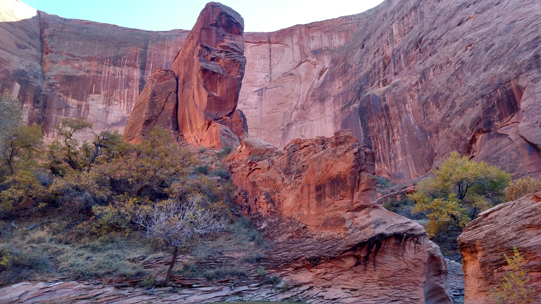
Coyote Gulch’s sandy washes narrow toward the Escalante River, linking stream crossings, waterfalls, arches, and a natural bridge; trailhead choice determines the approach and commitment.
· 3 MIN READ · 13 miles one way (Red Well to the Escalante River)Manawatu/Whanganui · New Zealand
This 42 km one-way track follows an old trail and dray road over the Matemateāonga Range, linking four huts, forested ridges and the Whanganui River.
· 3 MIN READ · 42 km one wayNatchez Trace · USA
Paved through Ridgeland’s protected greens, the Chisha Foka Trail links Choctaw Agency, Brashears Stand, and Reservoir Overlook with hardwoods, pines, and seasonal wildflowers.
· 3 MIN READ · 10 milesEl Malpais · USA
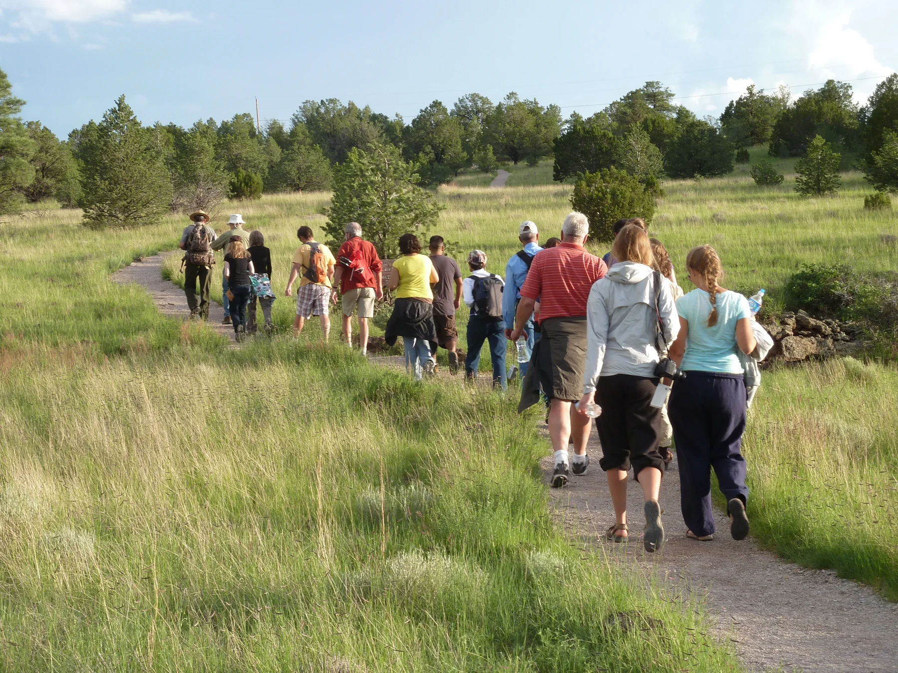
Choose the full hike of about 5 miles total or shorten it to a 3-mile loop; lava trenches, Junction Bridge Cave, piñon-juniper forest, and summer Bat Cave outflights shape the route.
· 3 MIN READ · About 5 miles total; 3-mile loop optionUtah · USA
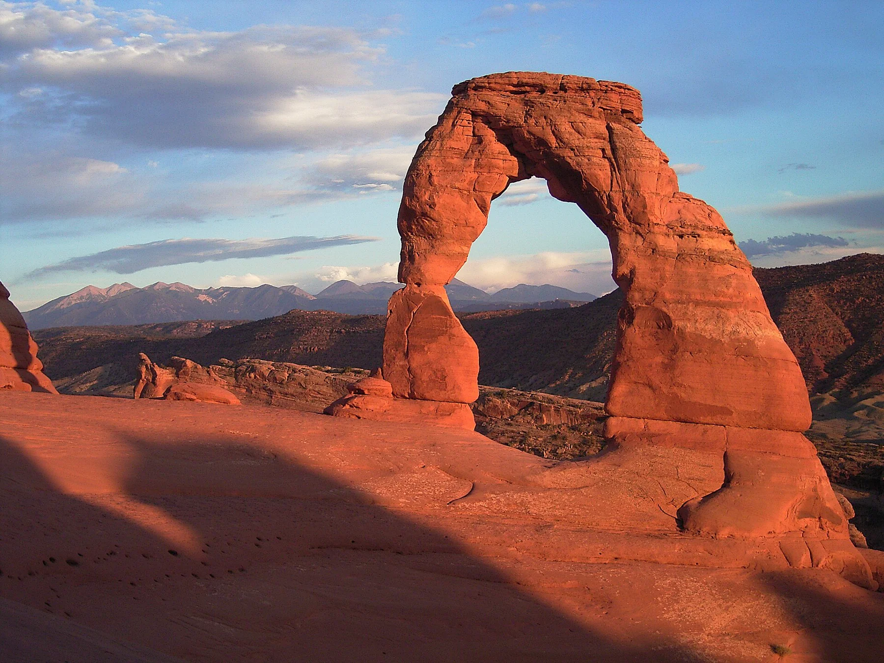
Wolfe Ranch, a broad slickrock climb and a final rock ledge lead to an arch that stays hidden until the end.
· 2 MIN READ · 3 mi returnUnderwater ruins and marine habitats
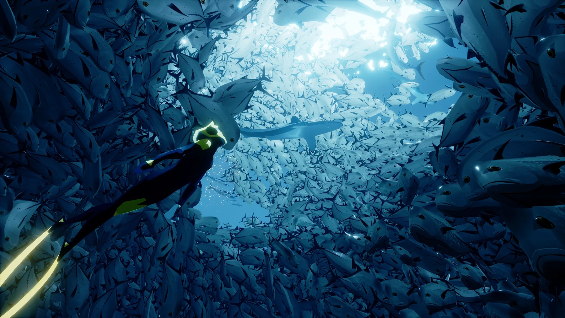
ABZÛ follows the Diver through kelp forests, coral reefs, and darker depths, pairing fluid swimming with responsive marine life and time to observe without an air gauge.
· 2 MIN READA mysterious island
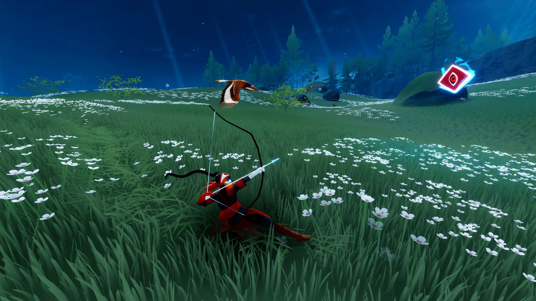
On The Pathless’s cursed island, a spirit mask reveals distant points of interest while talismans, an eagle companion, and collected crystals turn discovery into continuous movement.
· 2 MIN READPuʻuhonua o Hōnaunau · USA
Follow an ancestral South Kona coastal route from the park’s Royal Grounds toward Kiʻilae Village, across coral sand, lava rock, and the steep Alahaka Ramp.
· 3 MIN READ · Two miles round tripFiordland · New Zealand
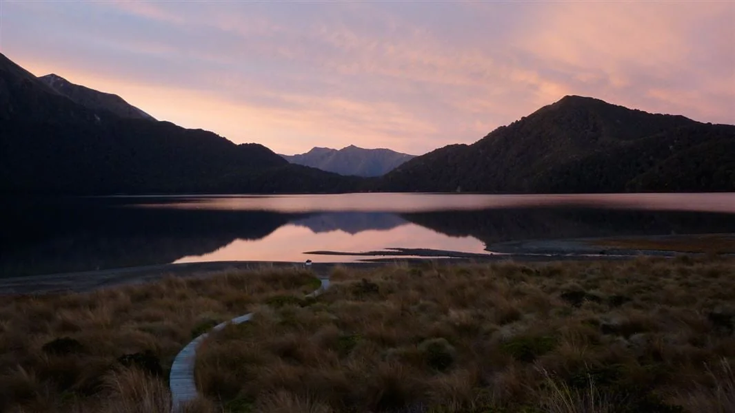
Starting at Borland Saddle or Lake Monowai car park, the track crosses tussock, small lakes and beech saddles to Green Lake Hut, with a longer continuation past Mt Cuthbert.
· 3 MIN READLake Roosevelt · USA
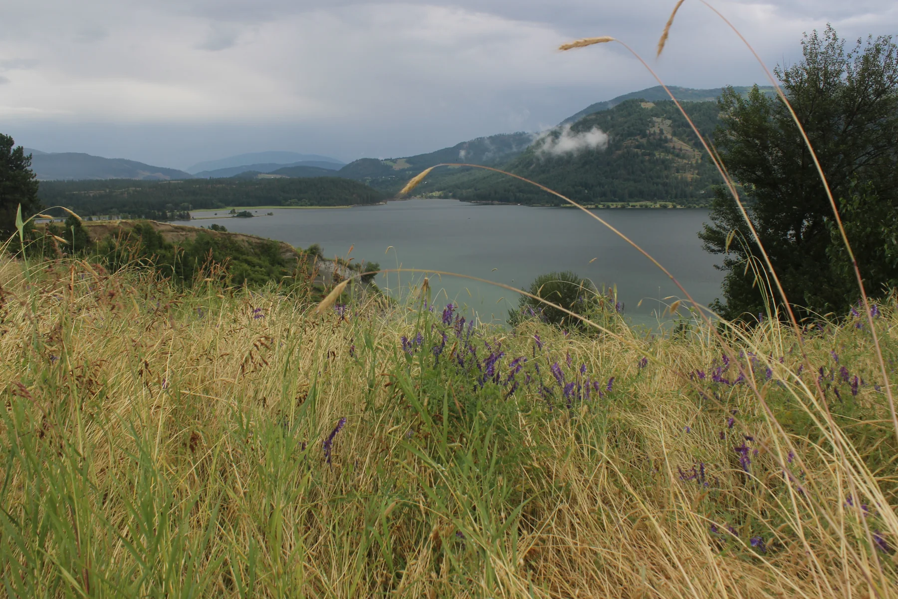
Starting by campsite 17 at Haag Cove Campground, this mostly flat dirt-and-grass network links Mellenberger Bridge, Sherman Point, Sherman Homes, Wilkie Access, and Headquarters routes.
· 3 MIN READ · 2.10 miles one way, Haag Cove to Mellenberger Bridge TrailheadUtah · USA
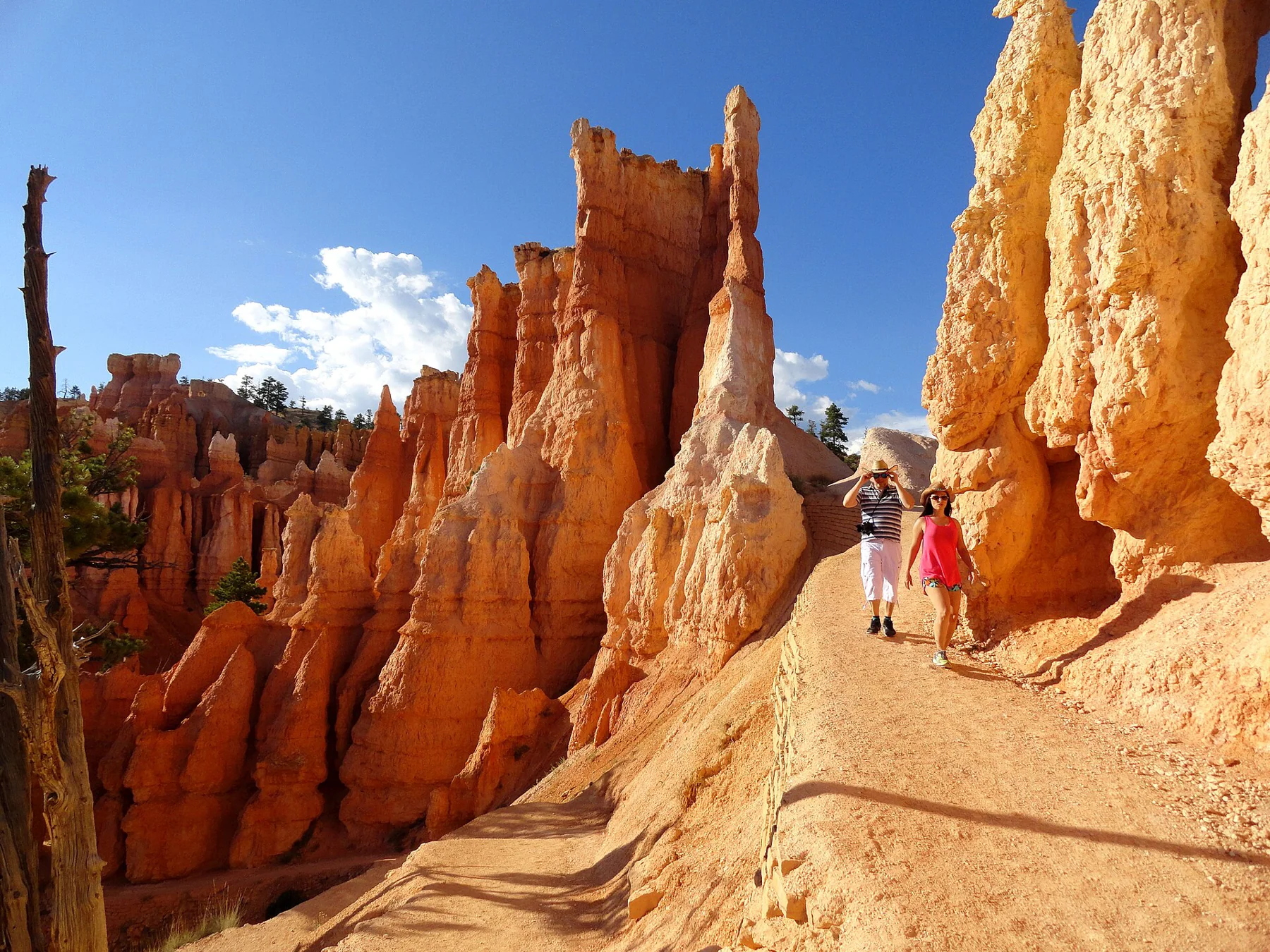
Descend from Sunrise Point through Queen’s Garden, climb Navajo’s switchbacks and close the loop along the rim.
· 2 MIN READ · 2.9 mi loopFort Stanwix · USA
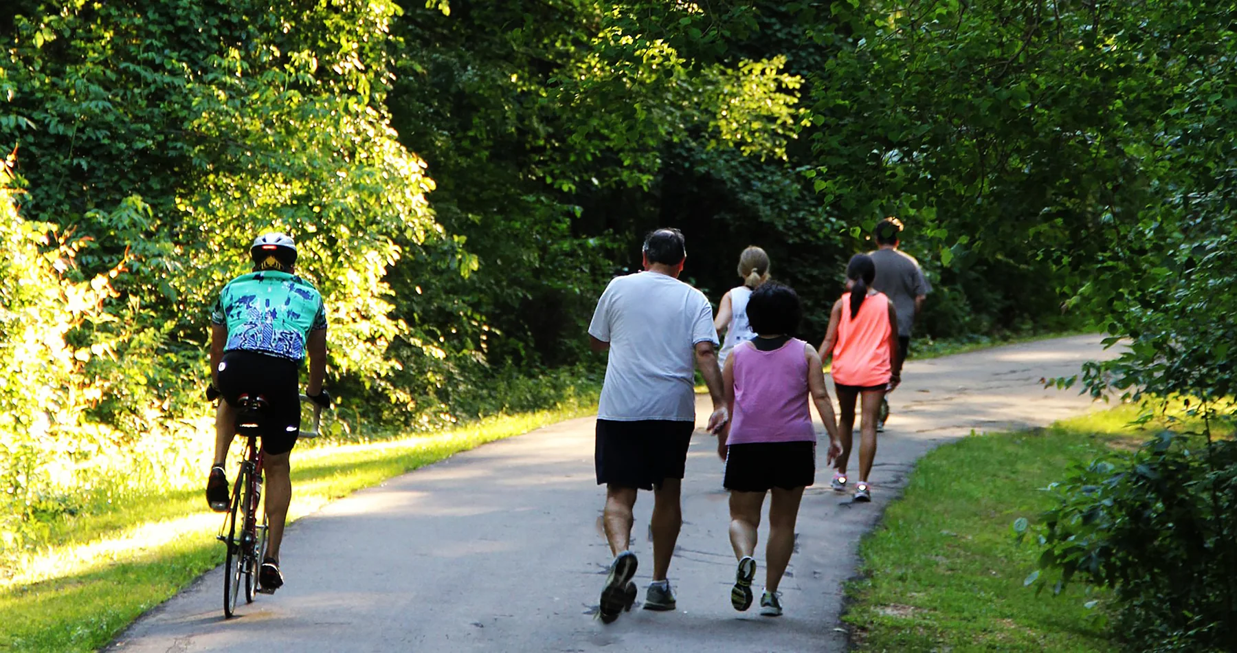
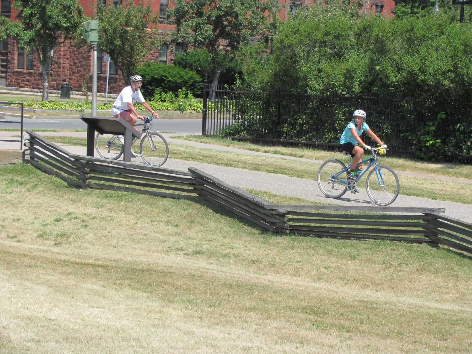
From Griffiss Business Park to Bellamy Harbor Park, this Rome ride links paved river paths, Fort Stanwix, canal history markers and a summer cyclist welcome center.
· 3 MIN READGolden Spike · USA
Follow the original railroad grade from the west side of Promontory Summit toward the historic meeting place, where parallel cuts, a hand-built roadbed, and the “10 Miles in a Day” sign reveal the race to join the rails.
· 3 MIN READ · Approximately seven milesCabrillo · USA
Descend Point Loma’s old military road from the lighthouse grounds to Ballast Point overlook, reading coastal habitat and harbor defenses along the way.
· 3 MIN READ · 2.5 mi round-trip