Find Wolfe Ranch, not the distant viewpoint
The walk to Delicate Arch begins at Wolfe Ranch. NPS places that trailhead 13.2 miles from the visitor center, roughly a 30–35 minute drive. Delicate Arch Viewpoint is a different road destination another mile along, and it does not provide the same approach to the arch. Choosing the right pin matters before the first step. Route source
Near the beginning, the cabin and petroglyph panel add a human-history stop before the climbing begins. They are worth treating as part of the route rather than rushing past every feature that is not the famous arch.
The climb happens on open rock
The full route is three miles return. The current park page gives 538 feet of elevation change and a two-to-three-hour estimate. Much of the climbing crosses exposed slickrock with little shade; there is no drinking water at the trailhead. Route source
Delicate Arch does not gradually enlarge on the horizon as you approach. It remains out of sight until the end, so the landscape cannot be used as a simple visual countdown. Follow the official route markings across the rock and judge progress by the actual trail, rather than searching for a glimpse of the arch.
The final ledge changes the character
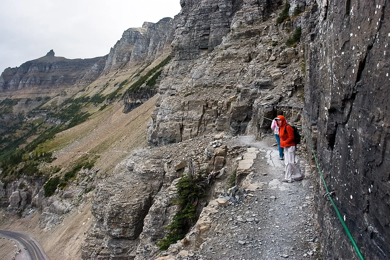
Just before the reveal, the route follows a narrow rock ledge about 200 yards long. NPS specifically notes winter ice here. This short final section is an important part of deciding whether the complete hike suits the group; the three-mile total alone says little about it. Route source
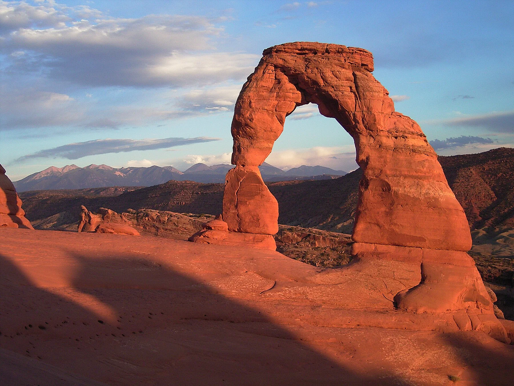
The opening beyond it is large enough to make people in photographs look miniature: the park measures the arch’s opening at 46 feet high and 32 feet wide. Leave room for other walkers to pass and for the setting to be appreciated beyond the queue for a single camera position.
A sunset visit includes a dark return
The lower viewpoint is a valid alternative when the full slickrock route is unsuitable. For those walking the main trail late in the day, the return remains an unlit crossing of the same rock and ledge. NPS calls for a light for each person. Sunset is the midpoint of that plan, not the moment at which the route is finished. Route source
Sources & further reading
Sources, dates, or details to query? Read our editorial approach.