Madeira · Portugal
Rabaçal’s 25 Fontes: two waterfalls, one busy levada valley
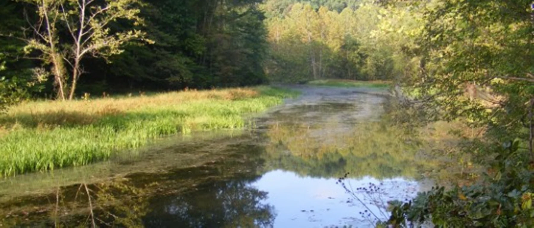
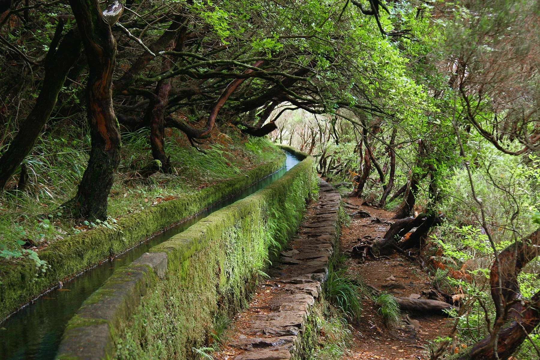
The spring-fed 25 Fontes pool and Risco’s vertical waterfall are separate objectives in Rabaçal’s levada landscape.
· 2 MIN READ · 8.6 km return ADVENTUREWORLDMAGAZINE
A journal for
the endlessly curious.
Explore the magazine
Good routes. Better questions. A little room for the unexpected.
Madeira · Portugal
The spring-fed 25 Fontes pool and Risco’s vertical waterfall are separate objectives in Rabaçal’s levada landscape.
· 2 MIN READ · 8.6 km returnFort Pulaski · USA
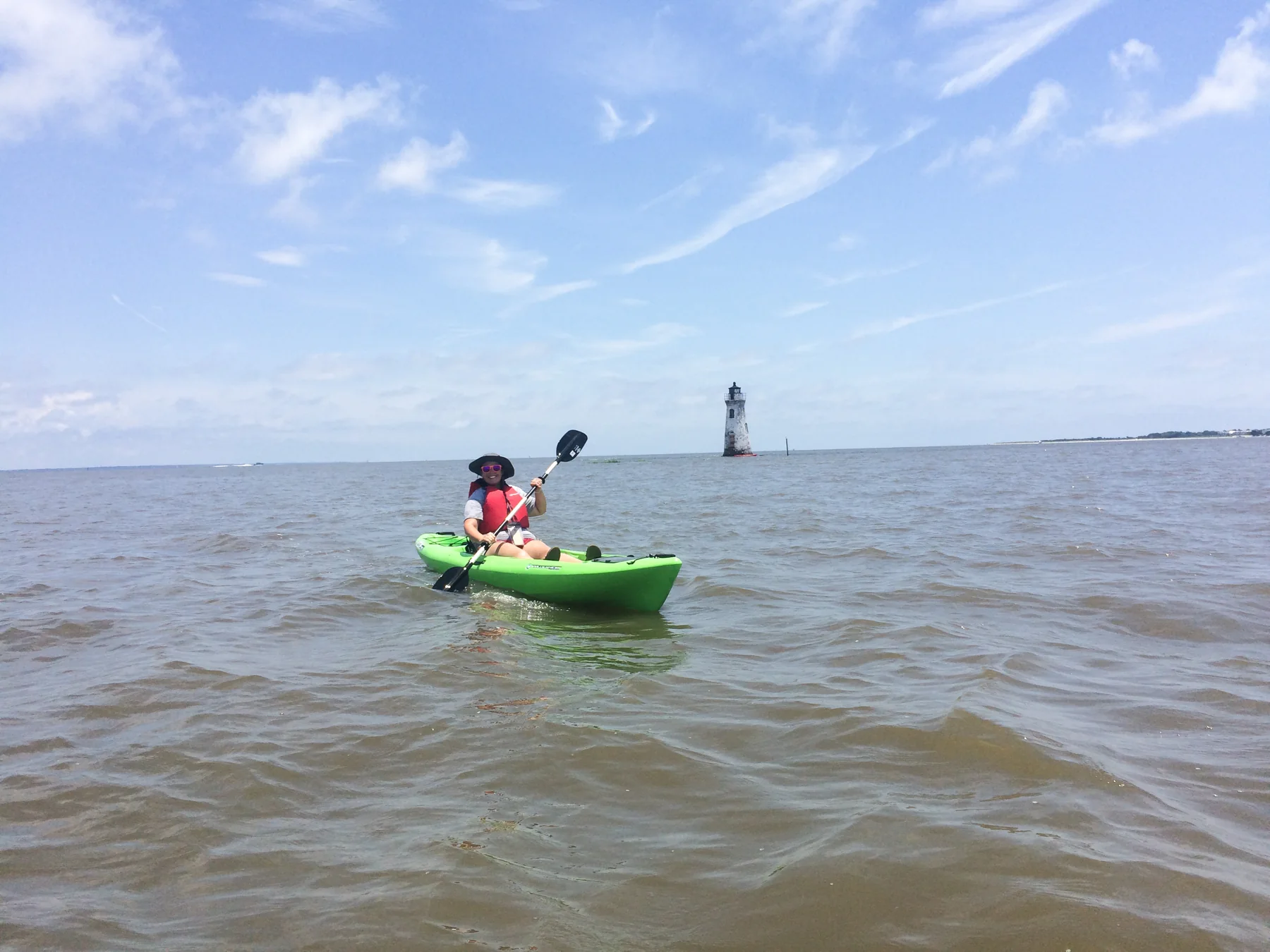
The park’s sole boat ramp opens access via Lazaretto Creek to the Savannah River’s South Channel and sheltered Oyster Creek, with tides defining the outing.
· 2 MIN READKaloko-Honokōhau · USA
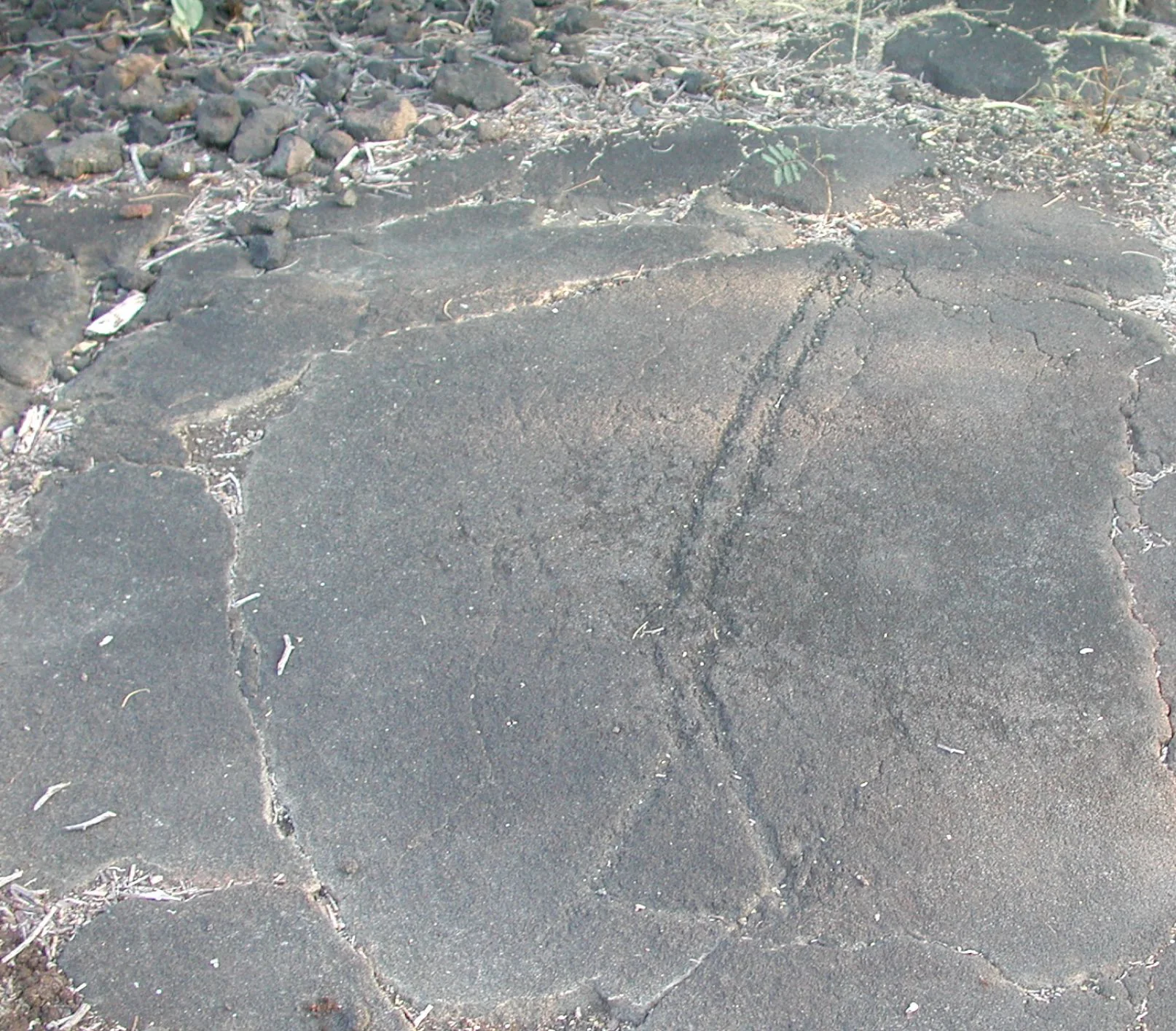
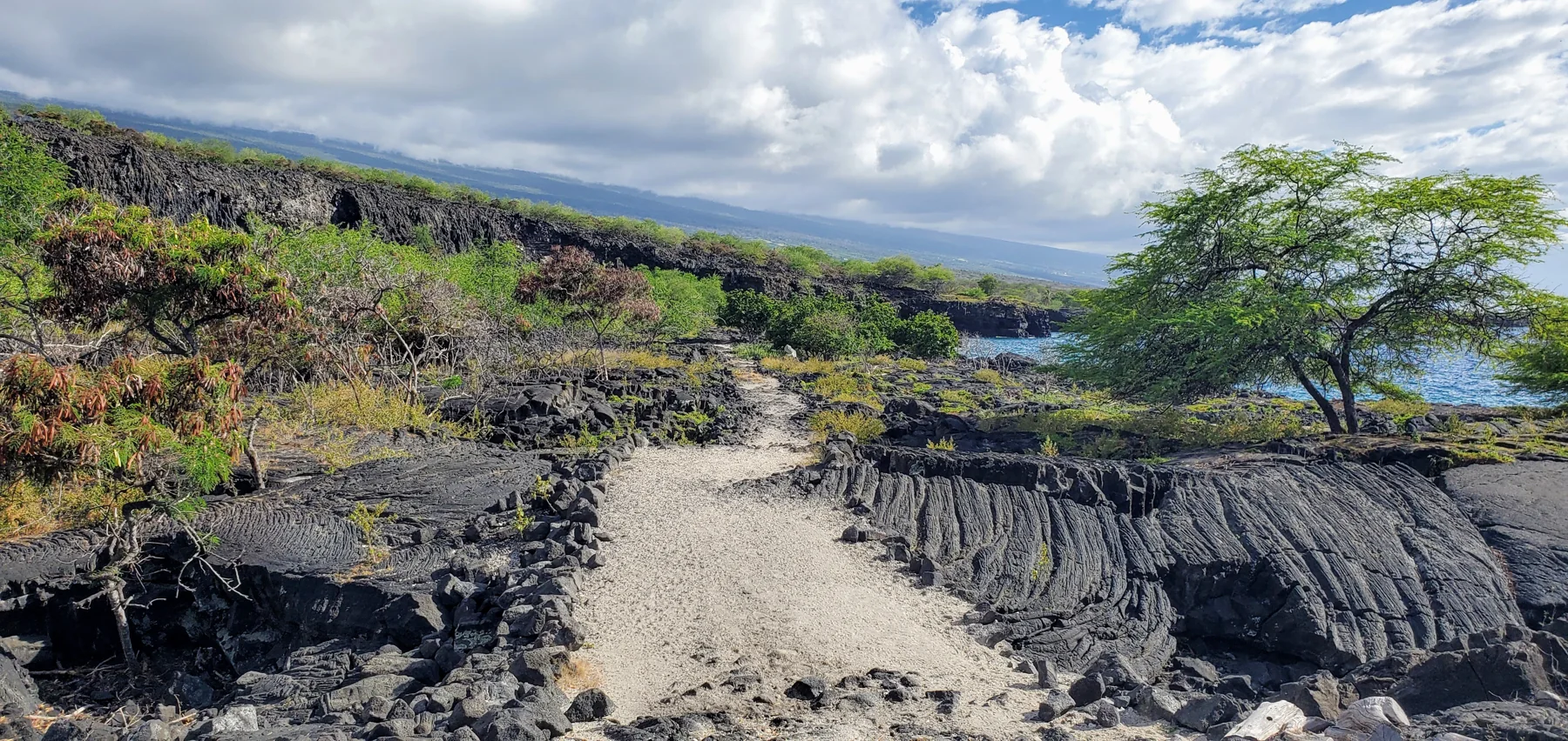
A mostly flat walk across lava terrain leads from the visitor center to carved horizontal rock panels, where images of weapons, ships, and human figures invite careful interpretation.
· 2 MIN READ · About 1/2 mile (visitor center to boardwalk)Otago · New Zealand
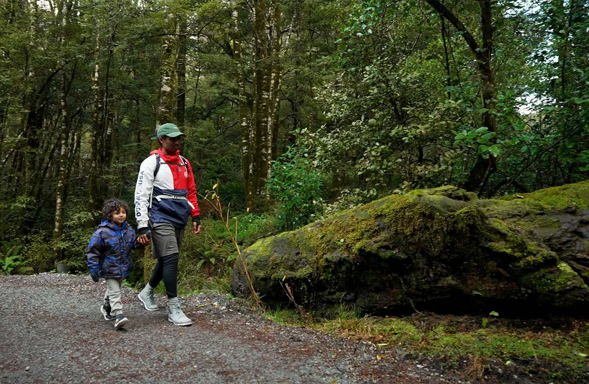
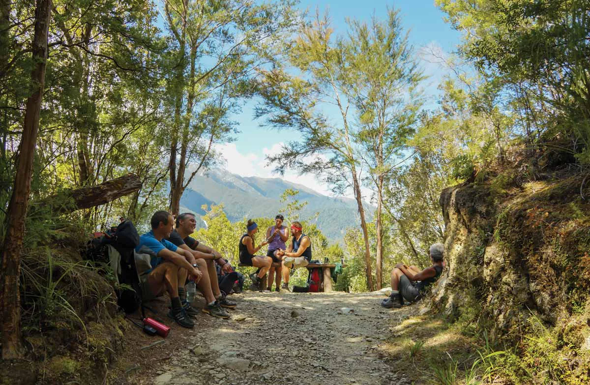
A gravel path through silver beech leads from the Haast Highway to two swing bridges above the Makarora River and the snow-fed Blue Pools.
· 2 MIN READ · 3.2 km return via same trackFiordland · New Zealand
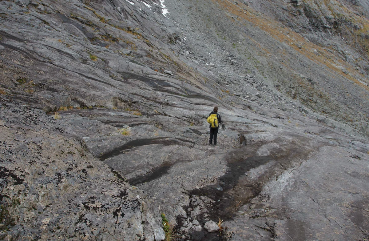
From Gertrude Valley carpark, this alpine route climbs past Gertrude Stream and Black Lake toward a boulder-strewn saddle above the valley and Milford Sound/Piopiotahi.
· 3 MIN READ · 7 km returnPictured Rocks · USA
Choose among Pictured Rocks routes from Miners Falls and Au Sable Light Station to Chapel Basin cliffs, with distinct surfaces, pet rules, trail lengths, and access constraints.
· 3 MIN READ · 10.5 miles full loopNelson/Tasman · New Zealand
This damaged creek-valley route crosses the Roding River and Hacket Creek before reaching Miner River and Hacket Hut, with marked slips and rockfall shaping the outing’s choices.
· 2 MIN READ · 11.4 km returnManawatu/Whanganui · New Zealand
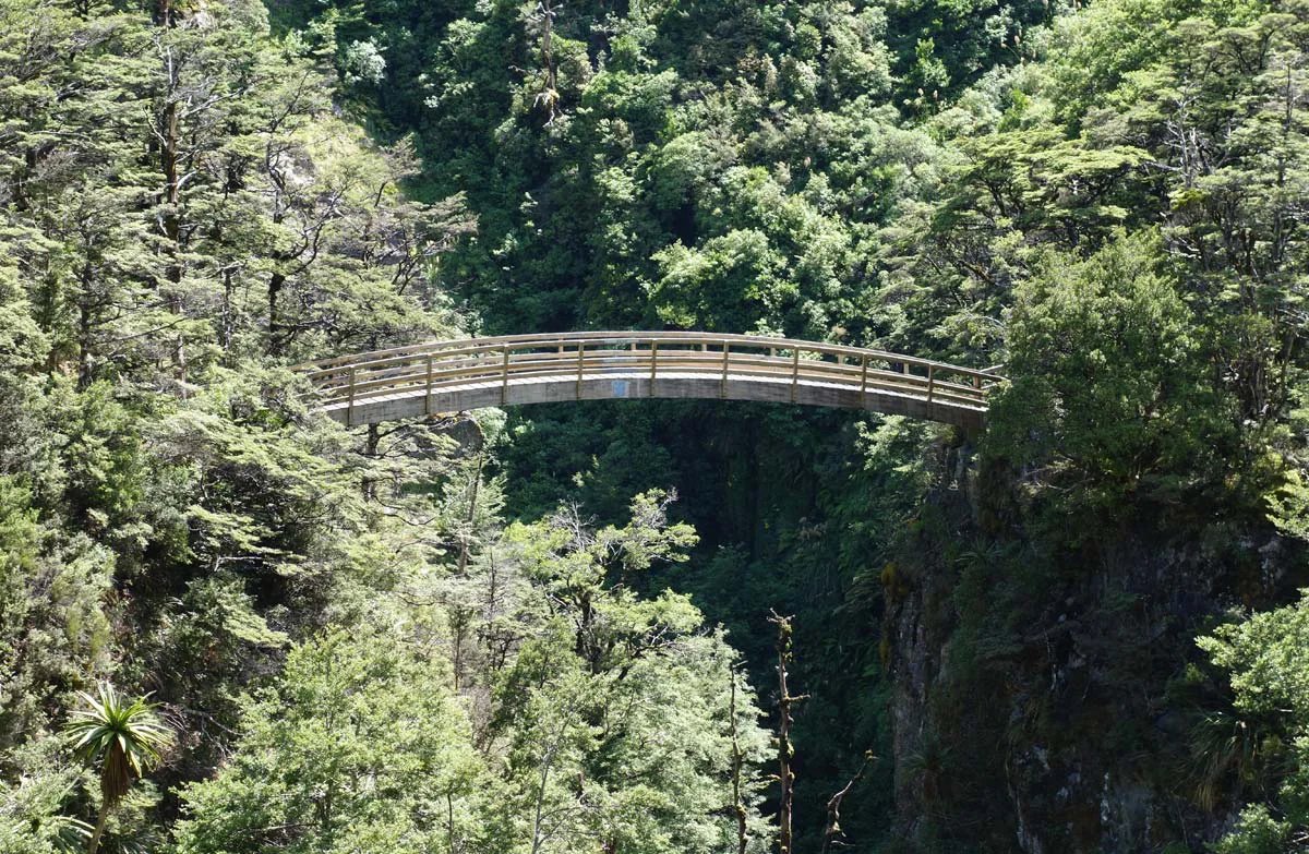
A steady benched climb from Renfrew Road crosses the Mangahuia Stream ravine by an arched bridge, passes a waterfall and reaches a hut above the bush line.
· 2 MIN READPadre Island · USA
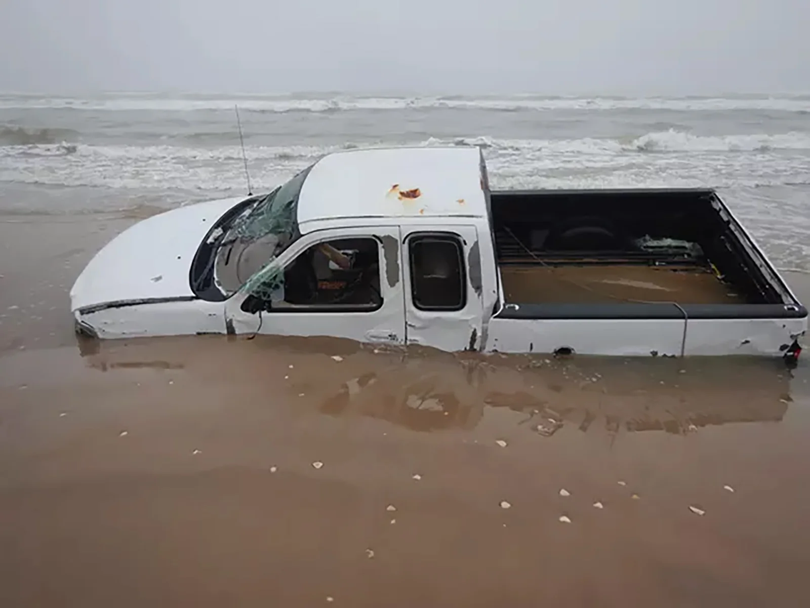
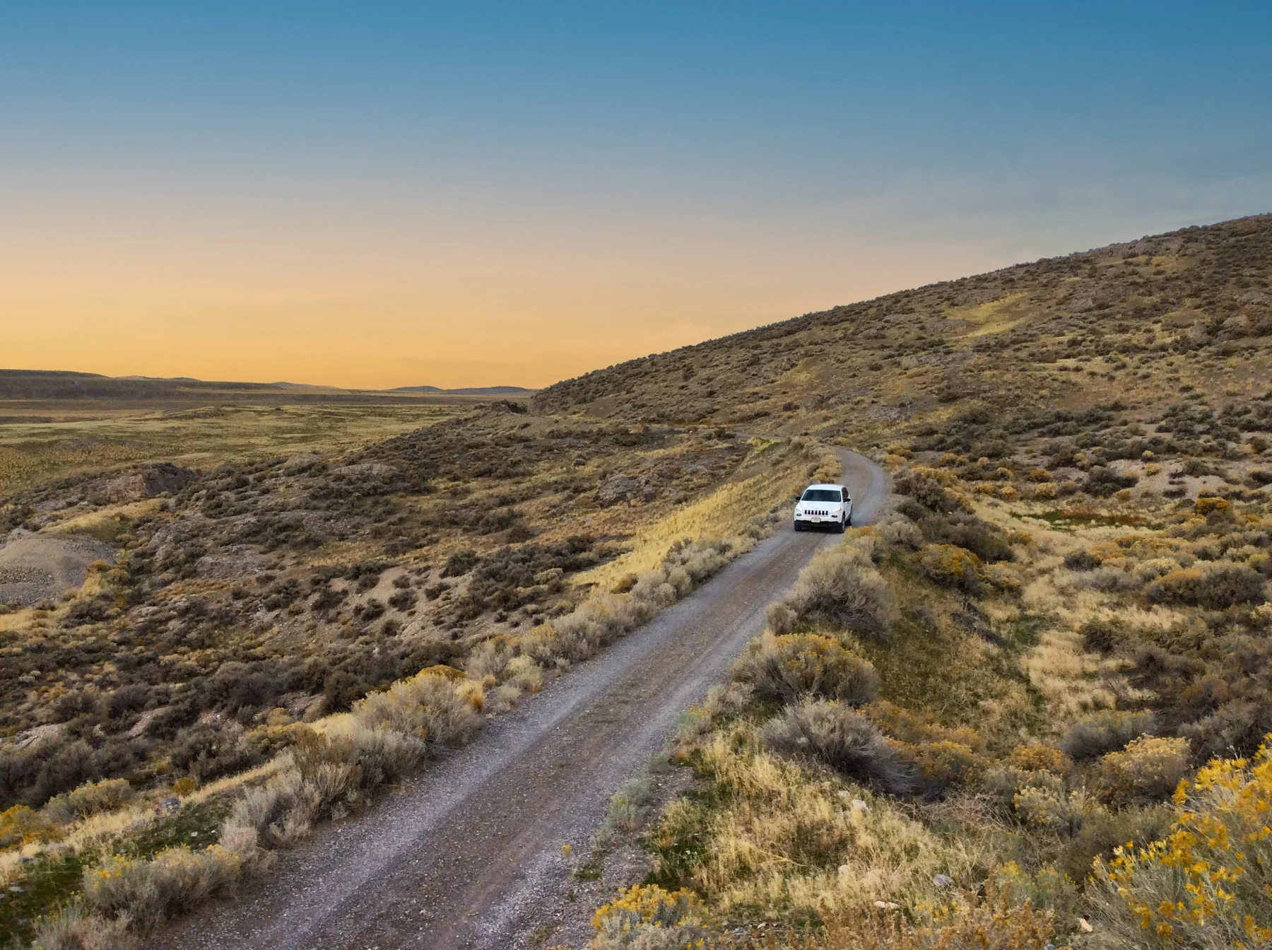
Beach driving reaches Little Shell Beach, Big Shell Beach, Yarborough Pass, and Mansfield Channel, with changing tides, shoreline hazards, and vehicle rules shaping how far down island makes sense.
· 3 MIN READGlen Canyon · USA
Coyote Gulch’s sandy washes narrow toward the Escalante River, linking stream crossings, waterfalls, arches, and a natural bridge; trailhead choice determines the approach and commitment.
· 3 MIN READ · 13 miles one way (Red Well to the Escalante River)Manawatu/Whanganui · New Zealand
This 42 km one-way track follows an old trail and dray road over the Matemateāonga Range, linking four huts, forested ridges and the Whanganui River.
· 3 MIN READ · 42 km one wayNatchez Trace · USA
Paved through Ridgeland’s protected greens, the Chisha Foka Trail links Choctaw Agency, Brashears Stand, and Reservoir Overlook with hardwoods, pines, and seasonal wildflowers.
· 3 MIN READ · 10 milesEl Malpais · USA
Choose the full hike of about 5 miles total or shorten it to a 3-mile loop; lava trenches, Junction Bridge Cave, piñon-juniper forest, and summer Bat Cave outflights shape the route.
· 3 MIN READ · About 5 miles total; 3-mile loop optionPuʻuhonua o Hōnaunau · USA
Follow an ancestral South Kona coastal route from the park’s Royal Grounds toward Kiʻilae Village, across coral sand, lava rock, and the steep Alahaka Ramp.
· 3 MIN READ · Two miles round tripFiordland · New Zealand
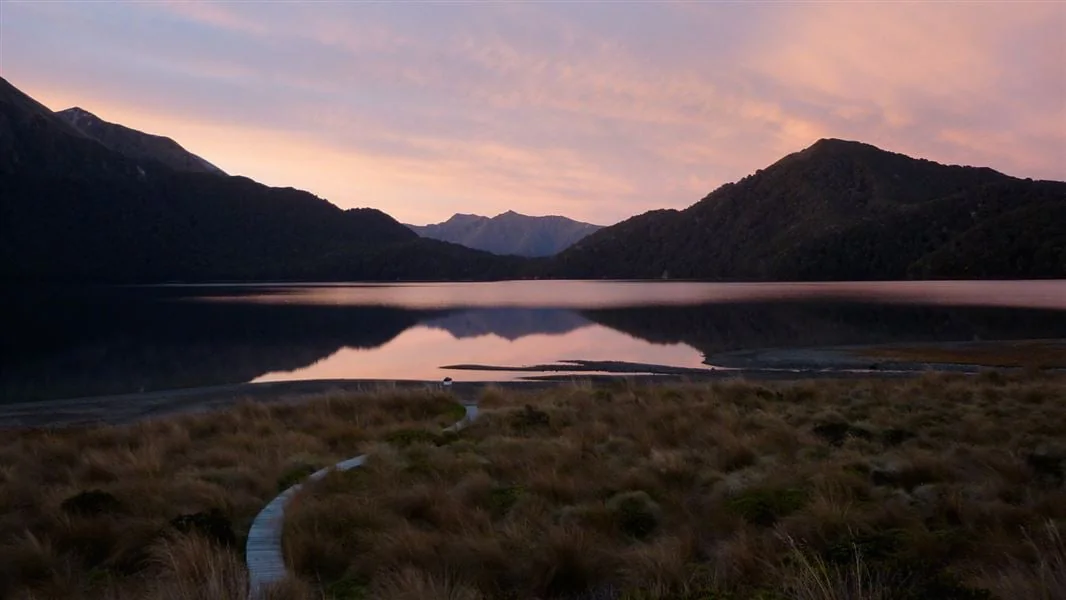
Starting at Borland Saddle or Lake Monowai car park, the track crosses tussock, small lakes and beech saddles to Green Lake Hut, with a longer continuation past Mt Cuthbert.
· 3 MIN READLake Roosevelt · USA
Starting by campsite 17 at Haag Cove Campground, this mostly flat dirt-and-grass network links Mellenberger Bridge, Sherman Point, Sherman Homes, Wilkie Access, and Headquarters routes.
· 3 MIN READ · 2.10 miles one way, Haag Cove to Mellenberger Bridge TrailheadUtah · USA
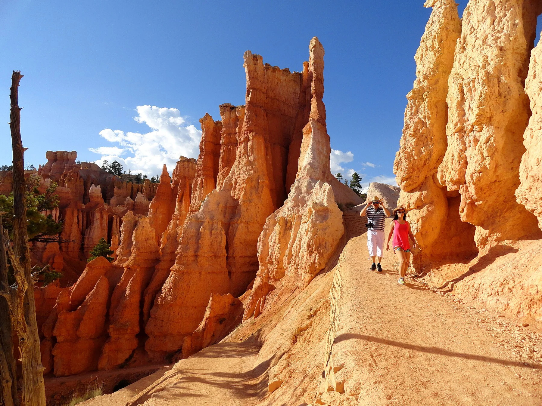
Descend from Sunrise Point through Queen’s Garden, climb Navajo’s switchbacks and close the loop along the rim.
· 2 MIN READ · 2.9 mi loopFort Stanwix · USA
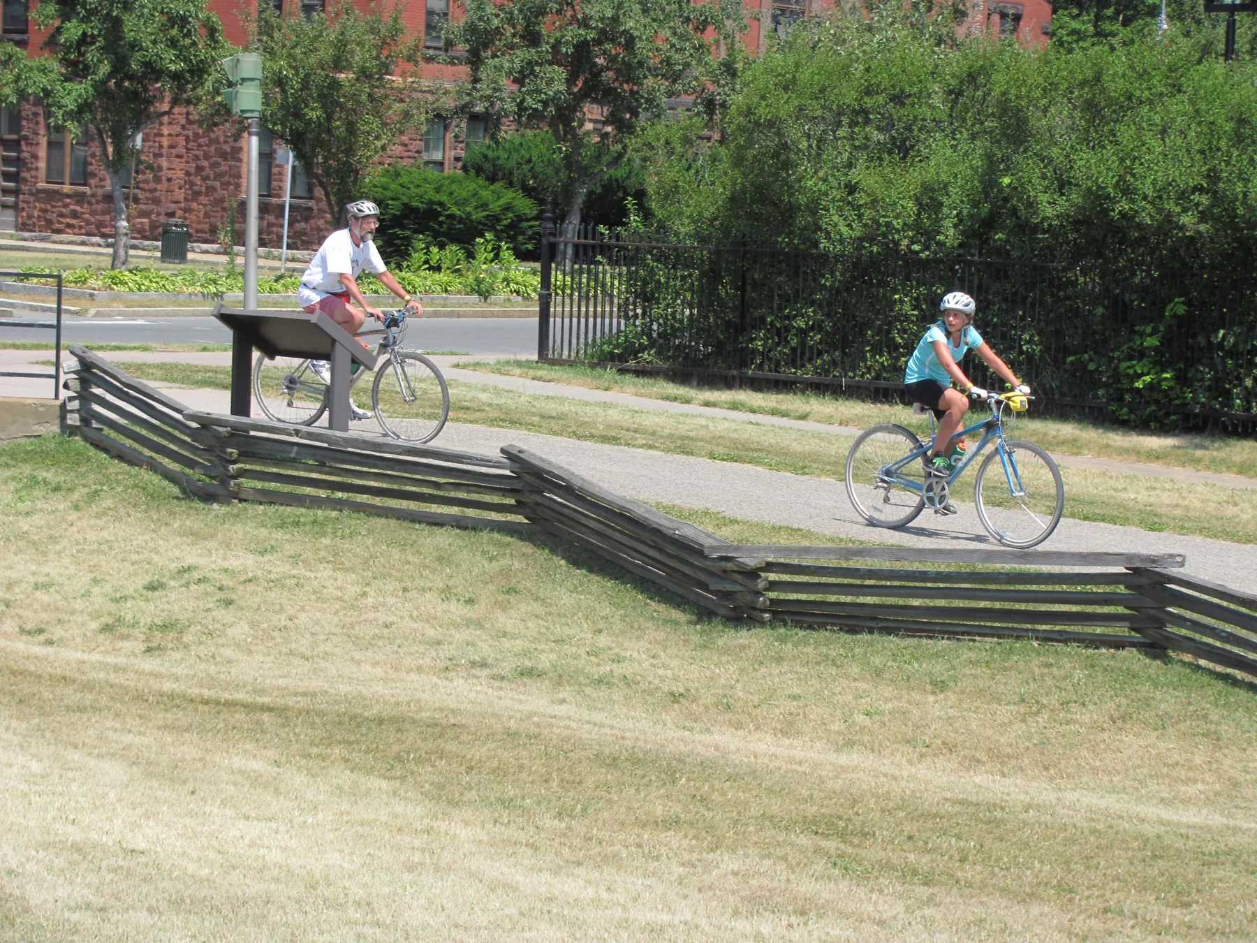
From Griffiss Business Park to Bellamy Harbor Park, this Rome ride links paved river paths, Fort Stanwix, canal history markers and a summer cyclist welcome center.
· 3 MIN READGolden Spike · USA
Follow the original railroad grade from the west side of Promontory Summit toward the historic meeting place, where parallel cuts, a hand-built roadbed, and the “10 Miles in a Day” sign reveal the race to join the rails.
· 3 MIN READ · Approximately seven milesCabrillo · USA
Descend Point Loma’s old military road from the lighthouse grounds to Ballast Point overlook, reading coastal habitat and harbor defenses along the way.
· 3 MIN READ · 2.5 mi round-tripNelson/Tasman · New Zealand
The Heaphy Track crosses tussock downs, limestone country and West Coast forest before reaching the Heaphy River mouth and the coastal route to Kohaihai.
· 3 MIN READ · 78.4 km one wayPrince William Forest · USA
A permit-only circuit in Prince William Forest Park links eight marked campsites across rough, hilly terrain, with day hiking and overnight camping options in a year-round backcountry setting.
· 3 MIN READ · 2.2 mile loopWest Coast · New Zealand
The Inland Pack Track follows the Fox River from its mouth through bush, braided riverbed and limestone gorge to a sheltering outcrop above the river.
· 2 MIN READ · 12 km returnEryri · Wales
Follow the mountain railway’s corridor past Cwm Brwynog and Clogwyn, with the full 14.5-kilometre return kept in view.
· 2 MIN READ · 14.5 km return