
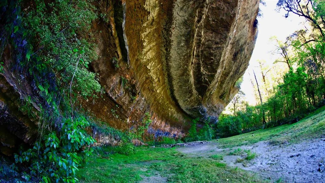
Start at the Fox River mouth
The route to Ballroom Overhang begins at the car park at the mouth of the Fox River and follows the Inland Pack Track. The access point is signposted by the main road bridge at Fox River, 12 km north of Punakaiki. The destination is a large limestone outcrop about 500 m upstream from the Fox River and Dilemma Creek confluence. DOC
At first, the track stays on the true right of the river, threading through bush and braided riverbed sections. After about 30 minutes, a Fox River crossing returns the route to the true left. This first crossing is not necessarily the deepest; the crossing at the Fox River and Dilemma Creek junction can be deeper. DOC
Through the limestone gorge
On the true left bank, the track continues for 2 km through the gorge, repeatedly climbing and dropping around bluffs. A 60 m section is badly damaged about 40 minutes on foot from the car park; a marked diversion leads around it. The terrain grows rough and steep, and the formed track ends at the confluence. DOC
From there, the final 500 m is riverbed travel with more crossings to the overhang on the true right of the Fox River. The outcrop offers shelter or a place to camp overnight, and a toilet is provided there. It can also serve as a day-hike destination, but the river crossings define whether reaching it is possible. DOC
A dry-weather decision
The Fox River can rise rapidly and become impassable in heavy rain. This is a route for experienced trampers with navigation and river-crossing skills; if the river is flooded, safe entry and exit points are unclear, or conditions feel uncertain, wait or turn back. Dry weather is the appropriate window, and recent heavy rain or a forecast of rain calls for choosing another outing. DOC
The limestone setting adds hazards beyond the water. Sinkholes and chasms can be hard to see and are unmarked, and flash flooding is common in karst terrain. Staying on the marked route and diversion helps keep the walk aligned with terrain that may conceal openings; ongaonga stinging nettle is also common in limestone areas. DOC
Read the return route
The listed distance is 12 km return via the same track, and the listed duration is 4 hr return. That tag describes the out-and-back route; the experience itself changes from bush and braided riverbed to a bluff-cut gorge, then to unformed river travel. Frequent crossings mean the return depends on water conditions too. DOC
Sources & further reading
Sources, dates, or details to query? Read our editorial approach.


