A long approach from Llanberis
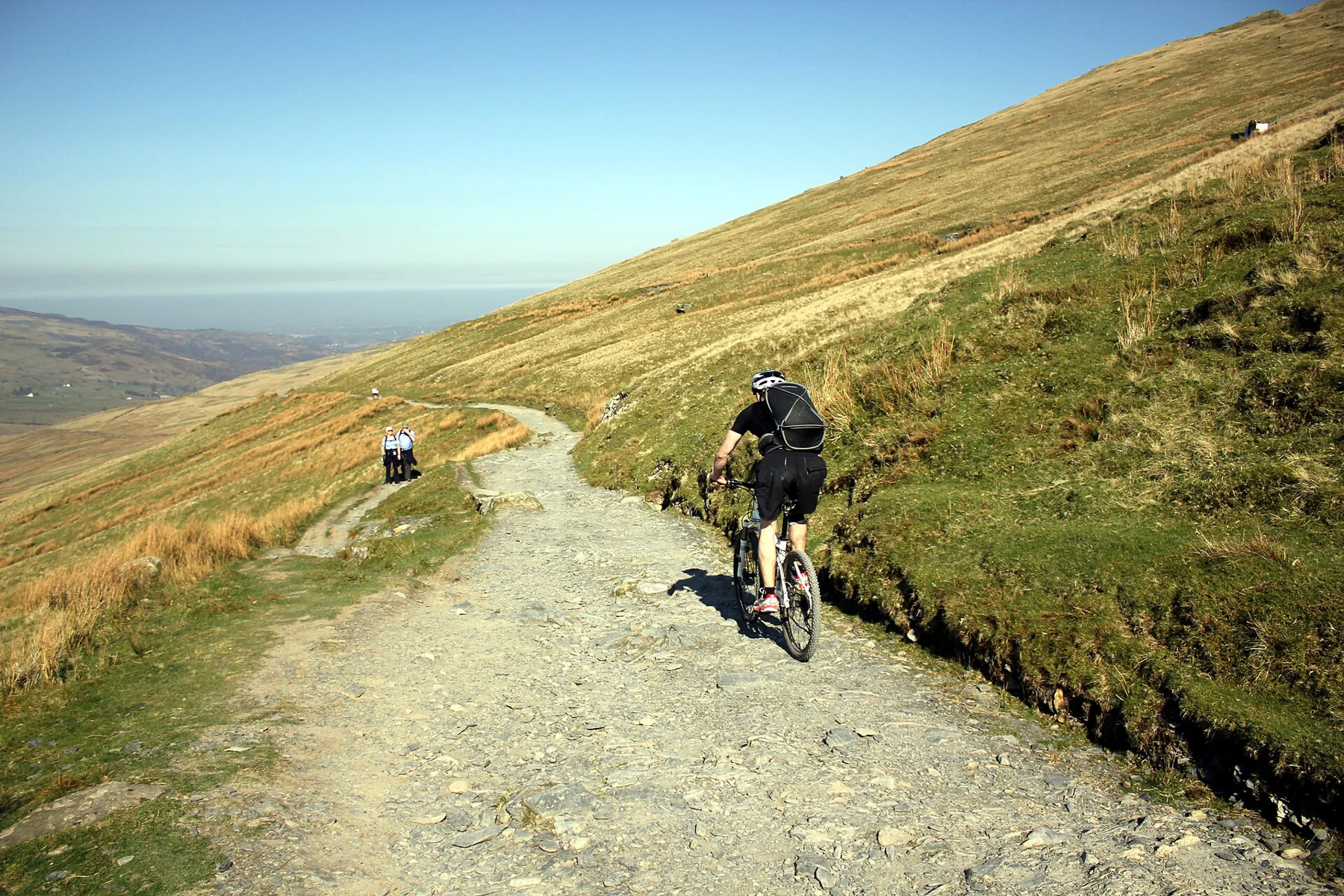
The Llanberis Path begins at the far end of Victoria Terrace. Eryri National Park lists a 14.5-kilometre return, 975 metres of ascent and about seven hours. It is graded hard or strenuous, despite being the most gradual of the main summit paths. Route source
The village start is one of its practical strengths. Llanberis has connections on the Sherpa’r Wyddfa bus network, including links with Bangor, Caernarfon and Betws-y-Coed. Arriving in a village does not shorten the mountain, but it can simplify the approach compared with a remote car-park start.
Read the valley beneath the path
Cwm Brwynog preserves traces of a former community, including the remains of Capel Hebron. These features belong to the lived history below the mountain, rather than the railway or the summit tourism that often dominates the story. Allow attention for them during the lower stages. Route source
Farther up, Clogwyn station, Cwm Hetiau and the dark cliff of Clogwyn Du’r Arddu give the route distinct landmarks. The official account connects the “Valley of Hats” name with hats blown from Victorian railway carriages, a small detail that gives an otherwise broad slope a memorable identity. Route source
The railway is a neighbour, not the footpath
The Snowdon Mountain Railway opened in 1896 and uses rack-and-pinion traction. The Llanberis Path is the summit route that accompanies its corridor, but walking on the railway is dangerous. Keep the actual path and railway infrastructure separate, including when cloud or snow makes a direct line look tempting. Route source
Choosing the Pyg or Miners’ Path for descent changes the finishing point to the Pen-y-Pass side. That becomes a different transport plan rather than a simple variation on the Llanberis out-and-back. Route source
The gentle gradient still reaches a mountain summit
All six main summit routes are classified as demanding mountain walks. Winter conditions can require specialist equipment and skills; the relative popularity of Llanberis does not settle that question. Use the park’s current advice to decide whether the intended day is a walking outing or an alpine undertaking. Do not assume the railway or summit facilities will provide the return. Route source Route source
Sources & further reading
Sources, dates, or details to query? Read our editorial approach.