
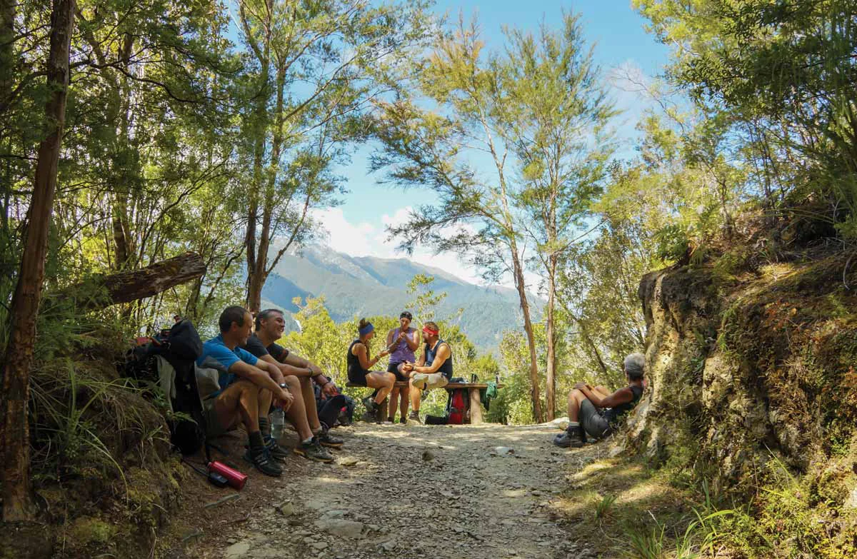
A through-route across changing country
The Heaphy Track is a point-to-point journey between Brown Hut in Golden Bay and Kohaihai on the West Coast, not a circuit. Its defining change is ecological as much as geographic: beech forest gives way to open tussock downs, then richer coastal forest with nīkau palms, before the sea takes over the horizon. The described route includes a bridge crossing of the Heaphy River; consult DOC’s live notices before committing to a through-walk. DOC
The eastern approach from Brown Hut climbs gradually through bush along a route once surveyed for a road. At Aorere Shelter, the valley opens north; on clear days Mt Taranaki/Egmont can be seen. Flanagans Corner, the track’s highest point, is reached shortly before Perry Saddle Hut. For walkers, this is a sustained climb; riders encounter a steady ascent through beech forest. DOC
Tussock, limestone and river flats
Past Perry Saddle, the route sidles above Perry Creek through tussock clearings and beech patches. The Gouland Downs spread open to the west, and the track descends toward Cave Brook and Gouland Downs Hut. Nearby, a limestone outcrop shelters a small beech patch, one of several clues that this open landscape was once cave country; a limestone arch and a waterfall emerging from a cave passage sit close by. DOC
The northern downs continue to Saxon Hut, named for surveyor John Saxon. Mist can make the featureless tussock country disorientating, so the route’s openness is not always easy navigation. Beyond Saxon, grassy flats by the Saxon River rise to Mackay Downs. In very wet conditions, a short wetland section and bridge can flood and become impassable; wait for water to recede. DOC
Descent to the West Coast
From James Mackay Hut, the descent moves through beech into taller, richer West Coast forest. At Lewis Shelter, the Heaphy and Lewis rivers meet, and the first nīkau palms mark the coastal shift. The route crosses swing and suspension bridges, then follows the Heaphy River toward its mouth. Heavy rain, particularly with high tide, can flood track sections and bridges; if flooded, wait at Lewis Shelter or Heaphy Hut. DOC
The river mouth joins fresh water and incoming sea, while the track south passes forest, streams and occasional beach. Katipo Creek, Crayfish Point and Scotts Beach punctuate the way to Kohaihai Saddle and the river crossing near the car park. High tides and rough seas can make coastal sections temporarily impassable, and small unbridged streams can be dangerous after rain. Strong currents make swimming or wading at either river mouth unsafe. DOC
Choose the right way through
The full route is a multi-day tramp, and huts and campsites require advance booking. Huts provide bunks, mattresses, heating, toilets and basic cooking facilities, but no food, utensils, showers or bedding. Campers have basic facilities and cannot use hut facilities. Pack for rain, wind and possible snow: weather changes quickly, annual rainfall averages over 4,000 mm, and landslides or track damage can follow bad weather. DOC
Mountain bikes are permitted from 1 May to 30 November, with walkers sharing the route. The track is a tough ride rather than a cycle trail: West Coast sections can be rocky, soft or rutted, and steep drops and numerous bridges demand experience. Riders must travel by day, give way to walkers, and follow closures after storms, heavy rain, snow or high-tide events. The two ends can be reached by road and local transport services; vehicle relocation is also available. DOC
Sources & further reading
Sources, dates, or details to query? Read our editorial approach.


