
One ramp, two routes
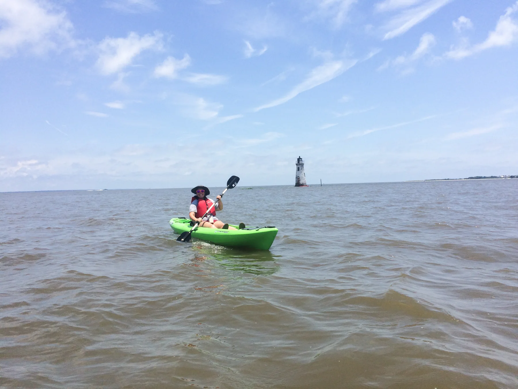
At Fort Pulaski National Monument, boating starts at Lazaretto Creek Boat Ramp, the park’s only launch point. From there, Lazaretto Creek provides access to the South Channel of the Savannah River and to Oyster Creek, which winds through the park’s marshland. Small boats, including kayaks, suit the South Channel; Oyster Creek offers a more sheltered paddle at high tide. NPS
The choice is between open river and winding creek, but both routes are shaped by tides. All waters around the monument are tidal. Low tide can make parts of Oyster Creek inaccessible and affect launching; at high tide marsh areas remain shallow, and boats can be stranded as water recedes. NPS
Read the water before launching
A floating pier with a ramp serves the launch, but the ramp grade changes with the tide and falls outside ADA regulations; it is steepest at low tide. Check weather and tide predictions before leaving shore. Storms with high winds are common year-round, and mosquitoes are another practical consideration. NPS
Sandbars and oyster beds may lie between Lighthouse Island and Cockspur Island, where water is shallow. The surrounding marsh is not an invitation to cut across: entering marshlands on Cockspur and McQueen Islands is prohibited, including at high tide. These restrictions make the named channels the meaningful route choices. NPS
Keep to permitted water
The North Channel is an active shipping lane with swift currents. Small boats and kayaks must not enter it: currents can carry craft toward the sea on a falling tide or toward Savannah on a rising tide, while cargo ships cannot maneuver or stop for small watercraft. NPS
Boats may not anchor or beach on Cockspur Island’s shoreline, attach items to trees or park structures, or enter the fort moat, feeder canals, or historic dike system. Lighthouse Island and Cockspur Island Lighthouse are closed, including to beaching or traversing by watercraft. Airboats and personal watercraft cannot be launched inside the park and are prohibited in Oyster Creek; commercial activity at the ramp and in Oyster Creek requires a permit. NPS
A tide-led outing
For a sheltered creek paddle, high tide is the access window, though shallow marsh areas still call for care. For either route, the ramp itself changes with water level, so conditions at launch and on the return matter. Boaters must follow Georgia guidelines for boating and fishing as well as federal regulations within the monument. NPS
Sources & further reading
Sources, dates, or details to query? Read our editorial approach.


