
A trail written in lava
El Calderon Area lies 20 miles south of Grants on NM 53. From the trailhead, the route crosses ancient lava flows toward the summit of an extinct cinder cone. The full hike is about 5 miles total and ranges from easy to moderately difficult; a shorter 3-mile loop returns to the parking area by primitive Cerritos de Jaspe Road. NPS
The terrain tells the sequence of an eruption. Lava that began flowing here 60,000 years ago breached the cinder cone and ran through the landscape, leaving trenches and lava tubes. The cone rose 300 feet, while the molten rock extended over 20 miles toward what is now I-40. Those dimensions make the trail a walk through a connected volcanic system rather than a single cone-side viewpoint. NPS
From trench to hillside
At the start, the first 1/4 mile contains Junction Bridge Cave, the only lava tube cave along this trail open to the public. It links the Junction Cave entrance on one side of the trail with a lava trench on the other. The short passage is open year-round and requires no permit, offering a small-scale view of the same process that shaped the larger route. NPS
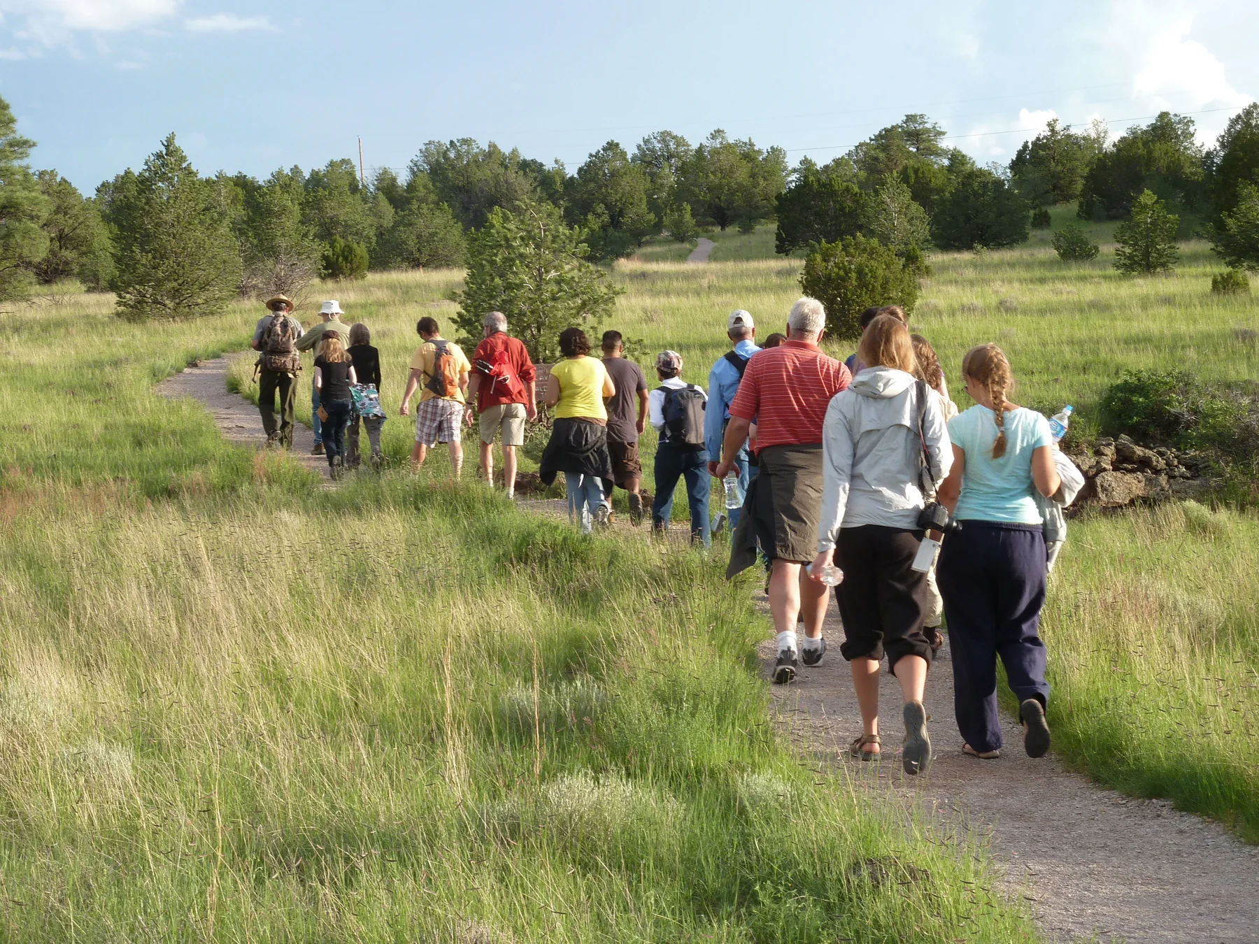
Farther along, the trail passes through piñon-juniper forest and across dark lava outcrops before wooden steps climb the hillside to the summit. The surface is mostly graveled and about 3 feet wide in most places, but ground near the lava tube caves is rocky and uneven. Scoria on the cone can be sharp, so sturdy shoes suit both the loose volcanic surface and the uneven cave-side sections. NPS
Life follows the geology
Volcanic soils support grasses and trees across the flows. Piñon jays and rabbits use the forest and grass, while snakes and lizards may shelter on or around the dark rock; ponderosas grow on the cone’s moisture-holding cinder. The underground tubes add a different habitat: bats roost there in summer and hibernate in winter. The route’s plant and animal life is closely tied to the lava’s varied surfaces. NPS
For a summer evening outing, Brazilian free-tailed bats leave Bat Cave to hunt insects over the lava fields. The hike from the trailhead takes approximately 20 minutes, and the park advises arriving at least half an hour before sunset. The cave is along the trail, so this option changes the outing’s timing more than its route; ranger programs are offered when available. NPS
Choose the loop and season
The mostly graveled path and shorter return via Cerritos de Jaspe Road offer distinct ways to shape the hike. In winter, the short gravel road from Highway 53 to the trailhead may be muddy; summer can bring sudden storms. Carry water, wear sturdy hiking shoes, and account for changing weather when choosing between the shorter loop and the longer route to the cone. NPS
Only Junction Bridge Cave is open to visitors along El Calderon; other caves are closed to protect sensitive bat populations. The trail offers cave entrances to observe without turning them into destinations. The result is a route where visible geology and habitat remain the focus, from the first trench to the cone’s stepped slope. NPS
Sources & further reading
Sources, dates, or details to query? Read our editorial approach.


