
Across the range
The Matemateāonga Track traverses thick bush-clad hill country between Taranaki and the Whanganui River. Its 42 km one-way route follows an old road line with a relatively even gradient, mostly through native forest and without river crossings. The full traverse is listed as 3 - 5 days and an advanced tramping track. It is lightly maintained, however, and windfalls, slips or overgrowth can occur; the connecting routes are for experienced trampers. DOC
From Kohi Saddle, the track begins in regenerating bush, then climbs a spur through thicker forest to the crest of the Matemateāonga Range. The 5.6 km leg to Omaru Hut takes 1 hr 30 min. Omaru Hut has 8 bunk beds, heating and mattresses; water from its tap is untreated and must be boiled. This first section is usually in good condition and also works as a day walk from Kohi Saddle. DOC
Ridge walking and changing views
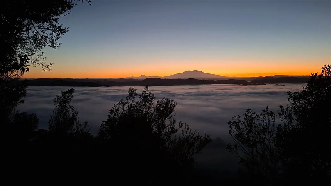
From Omaru Hut, 13.3 km of track continues along the range in 5 hr. It first crosses dense bush on the south-western side, then shifts to the northern flank. On clear days, there are occasional glimpses of the Tongariro National Park volcanoes. A signposted branch leads to Whakaihuwaka Maunga (732 m); the 1 hours 30 minutes return side trip gives wide views over Whanganui, Te Papa-Kura-o-Taranaki/Egmont and Tongariro national parks. DOC
Humphries’ Clearing lies farther along from that junction, and Pouri Hut is one hour beyond the clearing. The next listed leg, from Pouri Hut to Ngapurua Hut, is 10.4 km and takes 3 hr 15 min along the gentle crest of the range. Ngapurua Hut has 10 bunk beds, heating and mattresses. Its tap water is untreated and should be boiled before use. DOC
Huts, forest and the river end
From Ngapurua Hut, 11.7 km of gentle-gradient track leads to Puketotara Hut in 3 hr 30 min, with intermittent views to the north. The final 1.7 km drops abruptly from the range and winds steeply through bush to the Whanganui River in 1 hr. Just beyond Puketotara Hut, a sweeping river view opens toward the Tongariro peaks on the eastern horizon. DOC
At the river, a large sign marks the jet-boat rendezvous and the start of the river journey to Pipiriki. Transport by jet boat must be arranged with an operator to pick up or drop off the party. Kilometre posts end at Puketotara Hut, so they do not continue down to the river. The river finish therefore needs transport planning as well as walking preparation. DOC
Choosing a shorter section
For a day walk, Kohi Saddle to Omaru Hut and back is listed as 3 hr return. The benched path through podocarp forest includes tree ferns and views of surrounding forest; Omaru Hut makes a natural lunch stop before retracing the route. Native clematis starts flowering from October onwards, followed by rātā and rewarewa. Winter and early spring can bring slippery, muddy track conditions, while cold temperatures and heavy rain are common and weather can change fast. DOC
Access to Kohi Saddle is from SH 43 at Strathmore, east of Stratford, via Upper Mangaehu Road; the entrance is 20 minutes from the signposted turn. There is no cell phone coverage in this remote area. Hut water may be dry or stagnant in dry periods, so carry extra water and treat or boil it. Dogs are not permitted. DOC
Sources & further reading
Sources, dates, or details to query? Read our editorial approach.


