A ridge is the destination
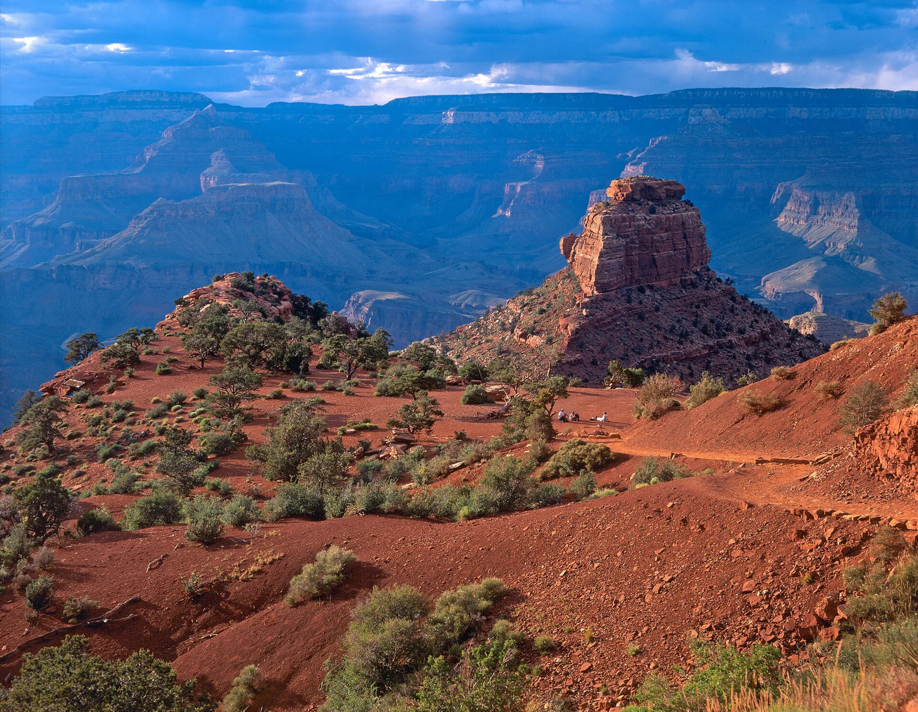
South Kaibab leaves the Grand Canyon’s rim through a set of switchbacks known as the chimney, then moves out toward increasingly open views. Cedar Ridge is the objective here: 1.5 miles below the trailhead, making a three-mile return walk. NPS estimates two to four hours and about 1,120 feet of elevation change. Route source
The sequence is useful because the canyon reveals itself in stages. The early switchbacks can feel contained; the ridge makes the scale more obvious. The distance walked downhill is also the distance that must be climbed at the end, when the novelty of the descent has passed.
Ooh Aah Point comes first
Ooh Aah Point lies about 0.9 mile down the trail. It provides an earlier turnaround before the continuation to Cedar Ridge. The ridge itself has toilets but no drinking water. The park’s distance table places Skeleton Point three miles from the rim, twice Cedar Ridge’s one-way distance. These names should not be treated as interchangeable day-walk targets. Route source Route source
Mule trains use South Kaibab too. When one approaches, give it room on the uphill side and follow the wrangler’s directions. Ooh Aah Point, Cedar Ridge and Skeleton Point remain separate walking objectives; choose one before descending rather than extending the day at each new viewpoint. Route source
Arrange the approach from the rim
Private vehicles cannot be driven to the South Kaibab trailhead. The Orange Route shuttle connects it with the visitor-center area. This changes the beginning of the day: the place to leave a car and the place to start walking are separate locations. Give the shuttle connection its own space in the itinerary. Route source
The ridgeline offers little shade and no water along the trail. As of the park’s 26 October 2026 update, even the trailhead supply was off after a local pipeline break. Fill containers before travelling to the trailhead rather than assuming the last refill is waiting there. Route source
Keep this walk separate from river itineraries
NPS reports closures around the river bridges, Phantom Ranch and North Kaibab following August flooding. Those notices do not automatically close Cedar Ridge, but they make old descriptions of a continuous onward route especially unreliable. The linked South Kaibab page is the place to confirm the boundary of an intended walk. Route source
Sources & further reading
Sources, dates, or details to query? Read our editorial approach.