
Build a journey from the road ends
In Kaimanawa Forest Park, the Boyd, Oamaru and Cascade tracks form a network rather than a single prescribed line. Clements Mill Road, Taharua Road and the hut connections make it possible to choose a shorter approach or link several nights through forest and river country. The combined outing is listed as 2 - 4 days on an advanced tramping track. DOC
From the car park 5 km along Clements Mill Road, the approach to Oamaru Hut via Te Iringa climbs to the clearing where Te Iringa Hut once stood, skirts Mt Te Iringa (1241 m), then drops to the Tikitiki Stream/Kaipo River junction. At the swingbridge, the main track continues along the true right of the Kaipo River to Oamaru Hut, near the Oamaru and Kaipo confluence. Te Iringa Hut has burnt down and will not be replaced, though it may remain on older maps. DOC
Oamaru as a central stop
A different approach starts at the Taharua roadend beside the helicopter hanger. The poled route crosses Poronui Station; near the Mohaka River, a new track links to Oamaru Hut by crossing the Kaipō River. Access conditions there prohibit hunting and mountain bikes. Oamaru Hut has 12 bunk beds, heating and mattresses; its tap water is untreated and must be boiled. The Oamaru and Kaipo streams are readily accessible from the hut for fishing. DOC
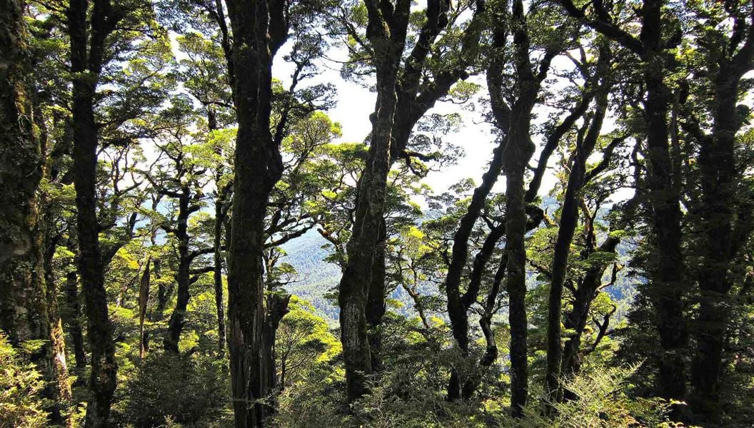
From Oamaru Hut, the track follows the true left bank of the Oamaru River, crosses its headwaters and follows Waitawhero Stream to a saddle. At the forest edge above the upper Ngaruroro, Boyd airstrip is visible across the valley, while Boyd Hut sits screened by beech forest behind it. This transition from river corridor to saddle and open valley makes the hut connection a distinct change in terrain. DOC
The high route to Cascade
The strenuous Boyd-to-Cascade connection via Maungaorangi first follows the track over Waitawhero Saddle toward Oamaru Hut. Near the Waitawhero and Oamaru streams’ confluence, it turns onto a long, steep ridge. Poles mark the route across the tops, which descend to Te Waiotupuritia Saddle and Cascade Hut. A map and compass are essential; GPS is recommended. DOC
Alternatively, the Upper Kaipo Valley Route begins at the swingbridge on the Te Iringa/Oamaru track. Numerous crossings and log jams in the upper Kaipo make this section slow-going before the route climbs to a ridge south of Kaipo Saddle. It descends to Cascade Stream; the right-hand track follows the stream downstream to Cascade Hut. The hut has 6 bunk beds, heating and mattresses, with untreated tap water to boil. DOC
Return by river flats and road
From Cascade Hut, the Hinemaiaia Track follows open flats beside the Tauranga-Taupo River, climbs a prominent beech-covered ridge, then descends along Hinemaiaia Stream and its tributaries to Clements Mill roadend. Clements Mill Road is suitable for small caravans only, and high winds can bring fallen trees that affect access. Dogs require a DOC permit. DOC
Sources & further reading
Sources, dates, or details to query? Read our editorial approach.


