
A short path to the northern edge
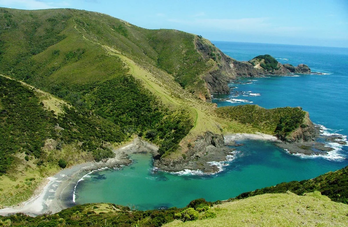
From the car park, the paved track leads to the lighthouse on a short section of Te Araroa Trail. The walk is suitable for children and buggies, and its brief length makes the headland’s geography immediately legible: Cape Maria Van Dieman and Motuopao Island lie to the west, while Piwhane/Spirits Bay and Hikurua/de Serville Cliffs open to the east. DOC
The lighthouse viewpoint looks toward the meeting of the Tasman Sea and Pacific Ocean over Columbia Bank. Currents collide in broken, foaming water; in some conditions waves throw up spray. On clear days the Three Kings Islands may appear on the horizon. Wind is common on this exposed cape, and weather can change quickly, so the short distance does not mean conditions are sheltered. DOC
Access and approach
The route is approximately 111 km north of Kaitaia. Follow State Highway 1 to Waitiki Landing, then continue another 20 km to Cape Reinga/Te Rerenga Wairua. Cape Reinga Road becomes busy over summer, so the approach calls for slower, careful driving. Car park gates close between 8.30pm and 7am. DOC
The paved path has steep sections and drop-offs around the lighthouse, so remain on the track and viewing area and keep children close. Barriers prevent motorised vehicle access; the bollards have a gap of 860 mm and require a right-angle turn, which can affect wheelchair access. The track may therefore not suit every wheelchair user. DOC
A place with cultural protocols
Cape Reinga/Te Rerenga Wairua is highly significant to Māori, and visiting carries specific tikanga. Do not eat food at the cape; drinking water is fine. The site is a place to remember loved ones, but burying or scattering ashes there is not culturally appropriate. There are no rubbish bins, and pets are not allowed. DOC
Visitor numbers peak in late December–early January and around the middle of the day, from 11 am–3 pm. Early morning or late afternoon can offer a quieter visit. No camping is permitted at the cape; Tapotupotu is the nearest campground, reached by a gravel road and with toilets available. DOC
Reading the headland
The route’s short paved line concentrates attention on the larger landscape: two ocean systems, island and cliff landmarks, and a headland shaped as a culturally important destination. Keep to the path where steep ground falls away, bring wind protection for the exposed setting, and leave time at the viewpoint to look in both directions along the northern coast. DOC
Sources & further reading
Sources, dates, or details to query? Read our editorial approach.


