
The old rope road
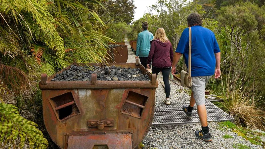
Coalbrookdale Walk follows part of Denniston’s historic rope road, the tramway that carried coal from Coalbrookdale and nearby mines to the top of the Denniston Incline. Starting at the end of Burnetts Face Road on the Denniston Plateau, the route leads to the historic Coalbrookdale Mine. Its gravel surface climbs gently, placing the walk within the industrial landscape it interprets. DOC
The path passes through a short tunnel with a low ceiling; a torch helps with the passage. Along the way, coal tubs, a haulage winch and a bath house make the mining operation tangible. Information panels add stories of a once-bustling township, so the walk unfolds through both surviving equipment and the route that moved coal downhill. DOC
A mine ventilation landmark
The destination is New Zealand’s best remaining example of a mine fan house. Built in 1912, the brick structure supplied air to miners working underground. It gives the walk a clear endpoint and a functional piece of mining infrastructure to read: ventilation was part of the work system, alongside extraction and transport. DOC
Coalbrookdale’s high-quality coal was sought after around the world, and the Royal Navy used it to supply vessels. The surrounding Denniston historic area is now a Category 1 Historic Place and a Tohu Whenua heritage site, with surviving homes, buildings and industrial structures recalling life on the plateau. DOC
A short return walk
The listed outing is 3.4 km return on the same track and takes 1 hr. Families can take in the gentle climb, tunnel and historic structures without committing to a longer route. The surface is gravel, but the tunnel’s low roof and the area’s industrial remains mean attention matters, especially with children. DOC
Denniston is a heritage area containing historic structures and closed mines. Follow safety signs, keep children close and watch your step. No dogs are allowed, and mountain bikes are not permitted on Coalbrookdale Walk. Bring a torch for the tunnel; there are no rubbish bins, so take rubbish away with you. DOC
Getting to Burnetts Face
From Westport, follow SH67 to Waimangaroa, turn at McGill Street and follow signs for Denniston Historic Coalfield Area. After the steep, winding sealed road reaches the top of the Denniston Incline, turn right at Boswell Street for Coalbrookdale. Follow signs, then turn onto Burnetts Face Road; its sealed surface becomes gravel. DOC
Parking is available at the main Burnetts Face area, from which it is 400 m on foot to the track start, or on the gravel shoulder by the entrance. Denniston Plateau is subalpine: it can be cold and wet at any time of year and often foggy even when the coast is fine. Check the weather and prepare for those conditions. DOC
Sources & further reading
Sources, dates, or details to query? Read our editorial approach.


