
From the road end onto the ridge
The route begins at the end of Tamaki West Road, Dannevirke. Park at the road end and follow the signs 200 m to the picnic area, where the track starts; the area has flush toilets and a shelter with picnic tables. The track is a 5 km one-way Advanced tramping track with a listed duration of 2 hr. DOC
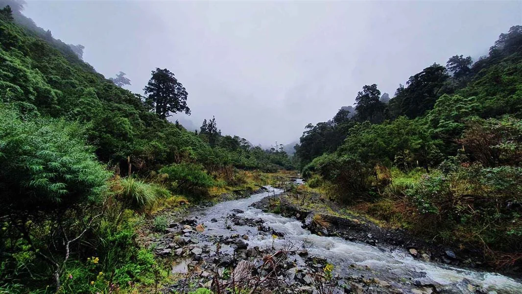
Near the start, the route crosses the Tamaki River West Branch. The river can run high and fast, and crossing or following it is dangerous when water levels are high, including during or after heavy rain. Conditions at this first crossing can determine whether the outing should proceed. DOC
Bush gives way to farm track
A short, steep bush section leads onto an old farm track running along Homes Ridge. This change in surface and setting shapes the walk: the initial concentrated climb gives way to a ridge route on former farmland. The track ends after 4 km, still 1 km short of Stanfield Hut. DOC
The hut approach continues from the track end along a bush track for 300 m, dropping down to the river. From there, follow the river upstream for 700 m to Stanfield Hut on the true right. The orange triangles mark where to exit the river. The final approach is therefore distinct from the ridge track itself and calls for attention to the river route. DOC
A hut destination or loop
Stanfield Hut has 8 bunk beds, cooking facilities and non-flush toilets. Its tap water is untreated and must be boiled before use. For a day walk, the hut provides a clear destination; the route can also form part of a loop by going via Homes Track one way and returning to Tamaki West Road end via the Tamaki River West branch, or reversing that direction. DOC
The route is listed as 5 km one way to the hut. Its description breaks that journey into 4 km on Homes Ridge Track, then 300 m of bush track and 700 m of upstream river travel. The final kilometre is therefore included in the listed distance, but differs substantially from the ridge section. DOC
Access and conditions
The track is at the Tamaki West Road end in Dannevirke. The source lists a 1 hr/60 km drive from Palmerston North and a 1 hr 30 min/130 km drive from Napier. Dogs are allowed only with a DOC permit for recreational hunting or management purposes; other pets are subject to conservation-land rules. DOC
Because the river crossing is near the start, rain and river level matter before committing to the route. The ridge section and the hut approach involve different terrain, while the return loop uses the Tamaki River West branch; choose the day’s plan with the crossing conditions in view. DOC
Sources & further reading
Sources, dates, or details to query? Read our editorial approach.


