
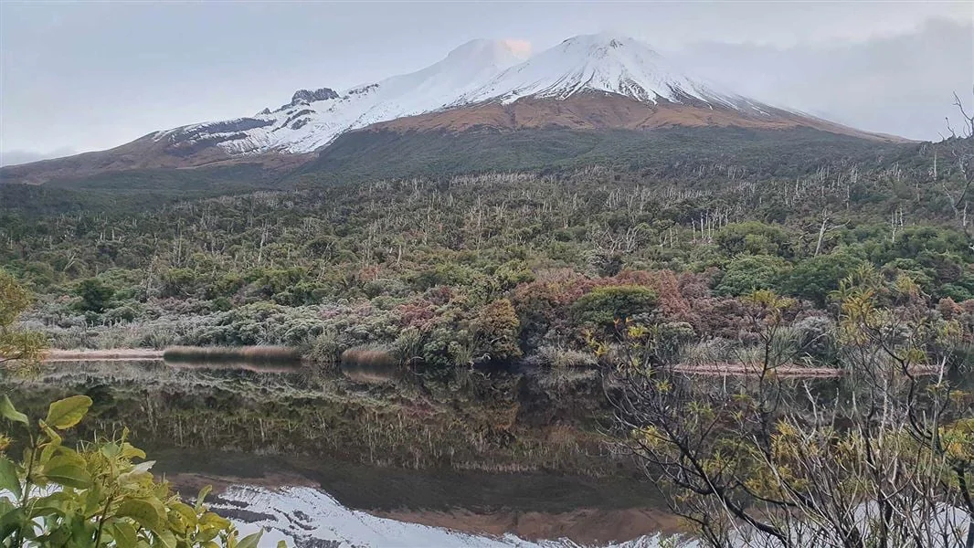
Two ways to reach the lake
Mangōraukawa / Lake Dive lies at the foot of the upper Beehive, a cumulo dome formed when lava welled up and congealed without bursting through. From the Dawson Falls road end, the upper and lower tracks offer different approaches; combining them makes a loop. Views along the way open toward the mountain, the Taranaki Ring Plain and the coastline. DOC
The upper track begins by following the Panitahi and Syme Hut Track through forest. At the junction with the lower route, it turns right and climbs steadily on steps. The sequence of Hilary Seat, Hooker Shelter and the Kapuni Lodge Track marks the climb before the route reaches approximately 1500 m altitude. DOC
An exposed upper approach
Beyond the high junction, the Lake Dive track heads left. Marker poles guide the route across exposed alpine tussock slopes, then the track descends steeply to the lake. This is a route where the character changes abruptly: sheltered forest gives way to an open, weather-exposed crossing, followed by a direct descent. DOC
Winter conditions make that upper section a serious equipment choice. DOC says it is not recommended in winter unless parties have ice axe and crampons; snow, high rainfall and storm damage can make tracks impassable. The track may also be overgrown or eroded in places, so follow markers carefully. DOC
A lower forest route
The lower track shares the Panitahi and Syme Hut approach from Dawson Falls, then branches left at the junction. It passes Hastie’s Hill and undulates through forest, crossing many unbridged streams before reaching the lake. Compared with the upper route, it is more protected from the weather, but stream levels remain a critical constraint. DOC
A slip just past the Hastie’s Hill turnoff has a diversion cut around it; look carefully for track markers. Heavy rain can raise unbridged streams until the lower route is impassable. Do not cross a flooded stream or one without safe entry and exit points; turn back or wait for the water to drop if uncertain. DOC
Plan the outing
The upper track is 4.2 km and the lower track is 6.2 km one way; each is listed at 3-4 hr. The combined loop is 13 km and listed at 7-8 hr, graded Advanced tramping track. Those options make the lower approach the more protected choice, while the upper adds the high, exposed tussock traverse. DOC
Start at Dawson Falls road end. From Stratford, take Celia Street, which becomes Opunake Road, follow it for 14 km, then turn onto Manaia Road and continue 9 km up the mountain to Dawson Falls Visitor Centre. Mountain weather changes rapidly, so carry suitable clothing and equipment for all conditions. No dogs are allowed. DOC
Sources & further reading
Sources, dates, or details to query? Read our editorial approach.


