
From River Road to the waterfall
The Mangamate Loop begins at River Road car park and first follows a well-formed track through Whirinaki Te Pua-a-Tāne Conservation Park. Cross Te Whaiti-Nui-a-Toi Canyon bridge, keep the Whirinaki River on your right, and head south. The route passes Mangamate Bridge, a crossing you will return to near the end, then continues by Whirinaki Waterfall to Vern’s Campsite, where a shelter and toilet make a useful lunch stop. DOC
From the campsite, the first day continues to Central Whirinaki Hut. This opening section offers the most established track surface of the circuit; the character changes after the hut, where unformed tracks and stream travel make navigation and footing more demanding. Central Whirinaki Hut has bunks, heating and mattresses. Its tap water is untreated and must be boiled. DOC
Branching into the streams
On day two, follow the Whirinaki River to Taumutu bridge. The route branches left onto Taumutu Stream, then left again onto Kakanui Stream. From there, it runs almost entirely in the stream before climbing sharply to Mangamate Hut, perched high on a ridge. The shift from riverbank track to stream bed is the defining choice of this leg: river-crossing skills are required, and the hut is the overnight point before the return through Upper Mangamate Stream. DOC
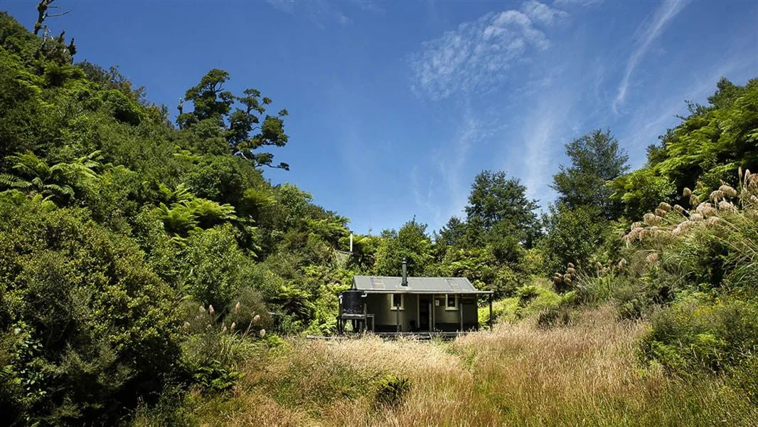
Mangamate Hut has nine bunks, heating and mattresses; its tap water is also untreated and should be boiled. The third day descends steeply from the hut into Upper Mangamate Stream. The route moves in and out of the water on the way back to Mangamate Bridge, with more than sixty stream crossings expected. At the bridge the circuit closes; keep the Whirinaki River on your left to return to River Road car park. DOC
Conditions shape the outing
High rainfall can make the streams unsafe to cross. If a crossing cannot be negotiated safely, the Department of Conservation advises returning to a hut until conditions allow. Slips, flooding and fallen trees may also damage the track after severe weather, so be ready to turn back. This is a route where water conditions and the transition to unformed track matter as much as the itinerary. DOC
Reaching the start
The track is south of Rotorua. From SH5, turn onto SH38 near Maunga Kākaramea; at Te Whaiti, take Minginui Road, then the gravel Old Te Whaiti Road at Minginui Village. Take the first left into River Road and follow the signs to the car park. Dogs require a DOC permit, obtained through the closest DOC office. DOC
Sources & further reading
Sources, dates, or details to query? Read our editorial approach.


