
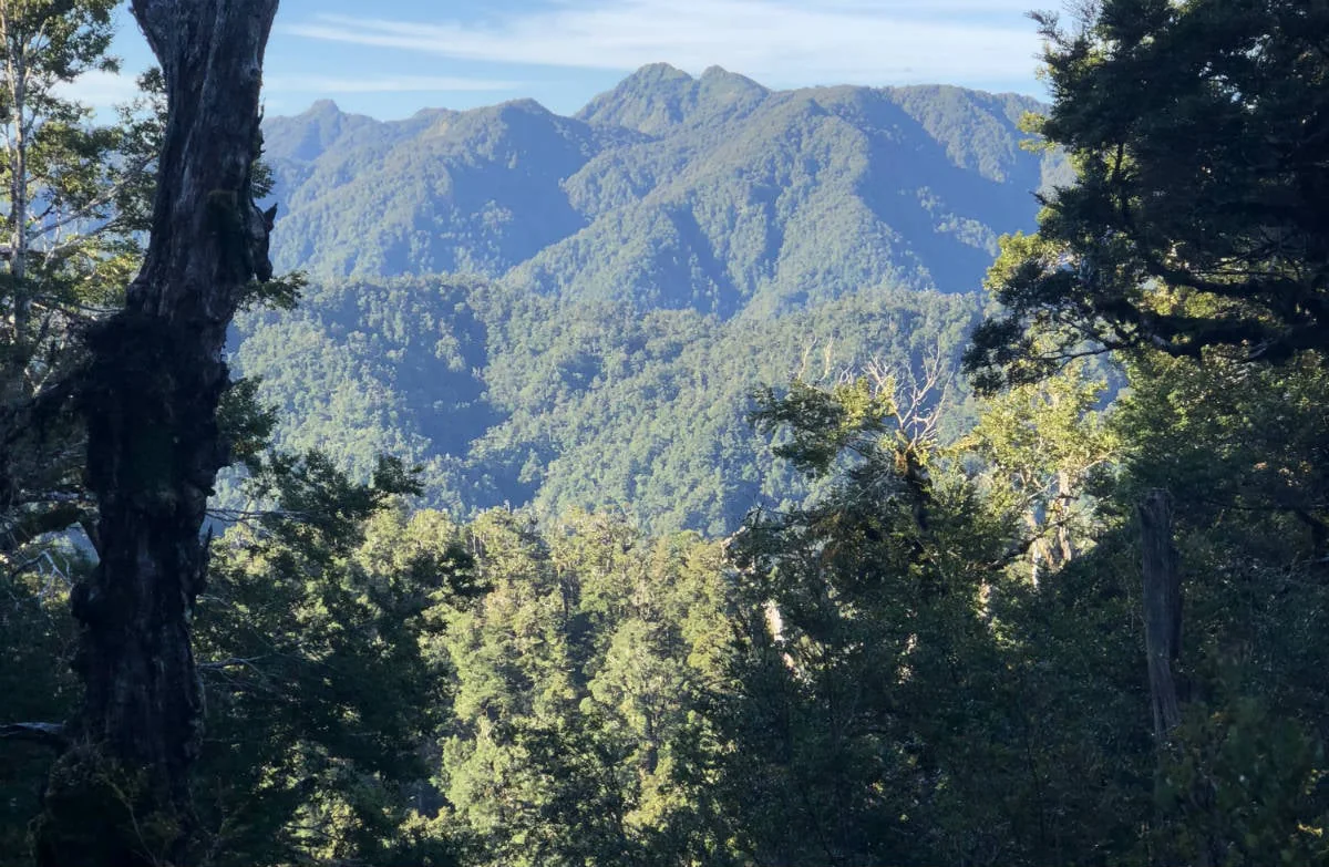
River Road into the forest
The Te Pua-a-Tāne Circuit is a five-day advanced tramp that begins and ends at River Road car park. Its 78.7 km loop passes through the range of Whirinaki’s forest, with hut stops shaping a route through river valleys, saddles and lowland podocarp. The park’s name means “the abundance or the blossoming of Tāne”; for Māori, Tāne is god of the forest and its creatures. DOC
The first day leads toward Whirinaki Waterfall and Vern’s Camp before reaching Central Whirinaki Hut. On day two, follow the Whirinaki River south to Taumutu bridge. The circuit continues left along Taumutu Stream rather than crossing the bridge, reaching Upper Whirinaki Hut before the longer stretch to Upper Te Hoe Hut. Central Whirinaki Hut has 25 bunks; Upper Te Hoe Hut has 9. Both provide heating and mattresses, and their tap water is untreated and must be boiled. DOC
The southern turn
From Upper Te Hoe Hut, day three climbs about 300 m before dropping toward the Te Hoe bluffs and Central Te Hoe Hut, Whirinaki’s southernmost hut. The Te Hoe suspension bridge gives access to the hut for a lunch stop, but the route then backtracks across it and heads north toward Mangakahika Hut. This reversal makes the southern reach a distinct out-and-back section within the larger circuit. DOC
The DOC description records cyclone damage in 2017 at Parallel Creek bridge, 10 minutes north of Central Te Hoe Hut, and describes a temporary marked crossing below the bridge or where the creek is low and safe. Confirm the current bridge and crossing arrangements in DOC’s live notices. Rain or previous rainfall can raise the stream rapidly, so conditions matter at this point. Mangakahika Hut has 9 bunks, mattresses, heating and untreated tap water to boil. DOC
Across saddles to Moerangi
Day four climbs over a saddle and drops to Rogers Hut, then follows Moerangi Stream to Moerangi Hut. The change from saddle descent to streamside walking makes this section a passage between upland and valley terrain; the hut is the last overnight stop before the circuit closes. DOC
The final day brings a substantial climb over Moerangi saddle (955 m), followed by a descent into lowland podocarp forest and the return to River Road car park. Access to the start is via Minginui village: from SH5 turn onto SH38, then at Te Waiti take Minginui Road and the gravel River Road. Severe weather can cause slips, flooding or fallen trees, so be prepared to turn back if track conditions demand it. Dogs require a DOC permit. DOC
A route with a fixed rhythm
The hut sequence sets the expedition’s rhythm: Central Whirinaki, Upper Te Hoe, Mangakahika, then Moerangi. Day lengths vary considerably, from the 10 hr second day to the 4 hr 30 min final day, so the itinerary is shaped by both terrain and overnight stops. The huts provide a practical framework for crossing a large forest landscape, but river levels and storm damage can alter what is safely passable. DOC
Sources & further reading
Sources, dates, or details to query? Read our editorial approach.


