
From Goodwin Road to the falls lookout
Wairere Falls Track starts on Goodwin Road, off Te Aroha-Okauia Road south of Te Aroha. The route begins with an undulating passage over moss-covered rocks and exposed tree roots. Wet, muddy and rocky stretches make this a walk where secure footing sets the pace; sturdy shoes with good grip or tramping boots are recommended. DOC
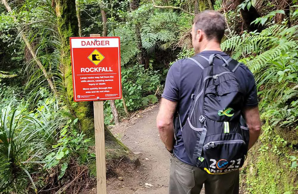
Small wooden bridges cross the stream at several points, bringing the cascades into view. The track passes marked rockfall zones, where walkers should move through carefully and keep moving. A steady rise on steps leads toward the cliff through a grove of nīkau, pūriri and kohekohe, ending at a lookout platform facing the falls. DOC
The steeper upper climb
The route changes character above the first lookout. The climb to the top platform is much harder, with numerous steps and staircases, then rocks and roots underfoot. After reaching the top of the climb, the track passes through forest to the upper falls lookout. The platform looks across the Waikato valley; the falls drop 153 metres over an escarpment on the Okauia fault line. DOC
The upper edge is a steep drop, so stay well back. In spring, apricot-coloured taurepo flowers may be seen on rocky valley walls. The return follows the same track; downhill steps can tire knees, and some walkers use walking sticks. The route east from the top connects with Wairere Track toward the North South Track, but that continuation is less well maintained than the falls climb. DOC
Conditions shape the outing
The full outing is a 5 km return via the same track, with a listed duration of 3–4 hr return. The car park to the first lookout is 45 mins one way; the very steep lookout-to-top section is 90 mins one way. Those stages help frame a practical choice: turn around at the lower platform, or take on the longer stair climb when conditions and fitness allow. DOC
Avoid the track during or after heavy rain, or when a severe weather watch or warning is in force: rockfall, landslide and flash-flood risks increase. Rocks can also be slippery in shaded areas and colder months. Stay on the marked track, carry warm clothing, rain protection, food and drink, and expect a rough, steep walk. Dogs are permitted only with a DOC permit for recreational hunting or management purposes. DOC
Route facts
The falls route rewards a slower pace through its stream crossings and varied forest, but the footing and weather determine whether the upper platform is a sensible extension. DOC
Sources & further reading
Sources, dates, or details to query? Read our editorial approach.


