Begin the loop at Kappa Bridge
Kamikochi’s official walking information gives the Kappa Bridge–Myojin circuit as 5.5 kilometres, with about two hours of walking before stops. The bus terminal is a further three hundred metres from Kappa Bridge, so a full terminal-to-terminal visit adds a little distance at each end. Route source
The loop begins where many visitors pause for their first Azusa River photograph, then continues upstream beyond the road-access area. Myojin is a walking destination; a bus or taxi cannot collect a visitor from the pond.
Dakesawa Marsh on one bank, Konashidaira on the other
The right-bank approach runs about three kilometres through the Dakesawa Marsh side of the valley. Crossing Myojin Bridge allows a 2.5-kilometre return along the opposite bank through Konashidaira. These different lengths and settings make the loop more varied than a simple retracing of the same path. Route source
Myojin also marks a decision for those continuing upriver. Tokusawa is another three kilometres, around an hour’s walking, in each direction. That extension should be added deliberately rather than absorbed into the two-hour pond circuit.
The pond is a shrine destination
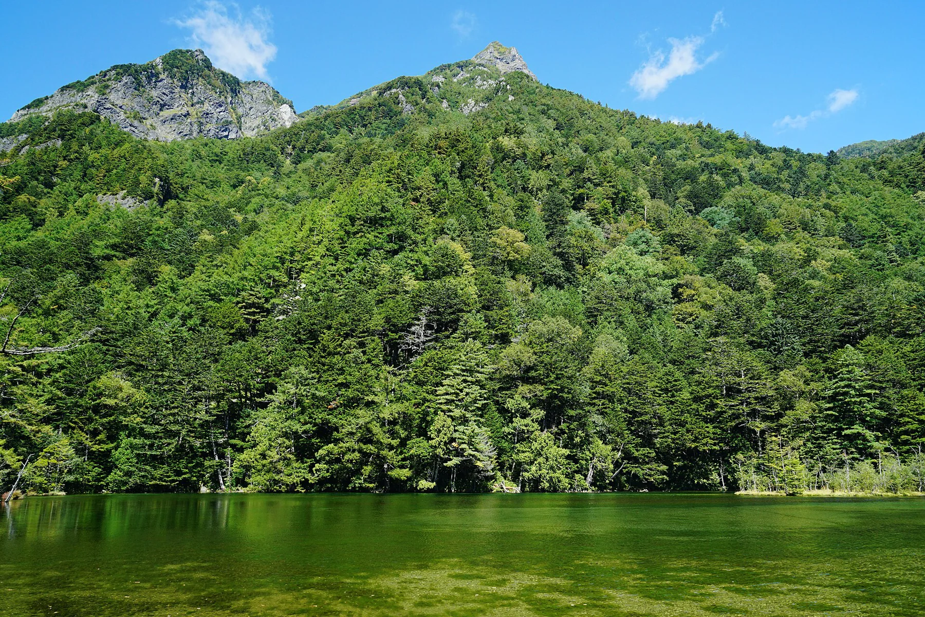
Myojin Pond is a short detour from the main walking route near Hotaka Shrine and Kamonjigoya lodge. The official account connects it with Shinto reverence for nature and the Omizugaeshi ceremony. It has an identity beyond being a reflection pool beneath the mountains. Route source
Snowmelt from the Hotaka mountains feeds the Azusa and ultimately irrigates the Matsumoto Basin. Understanding that connection gives the clear water a place in the wider landscape. Pond admission is separate from the public valley walk; confirm the current shrine arrangements rather than relying on an old quoted fee. Route source
Return to the bus, not only the bridge
The Matsumoto approach uses the railway to Shin-Shimashima and a connecting bus; the Takayama side comes through Hirayu Onsen. Services are seasonal. The official access page identifies reservation requirements for specified return buses and the direct National Park Liner. Route source
Allow time for the pond, shrine and the final walk from Kappa Bridge to the terminal. The two-hour walking figure measures movement around the loop, not a complete visit between reserved transport departures.
Sources & further reading
Sources, dates, or details to query? Read our editorial approach.