
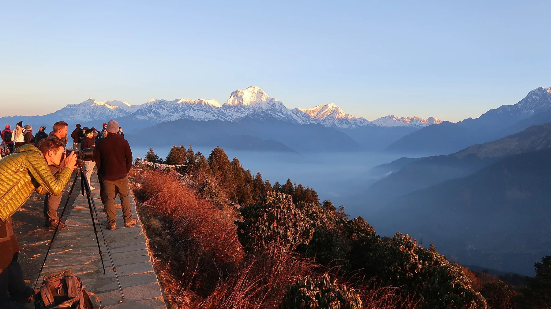
Separate the viewpoint from the trek
Poon Hill is the high viewpoint reached from Ghorepani, while a Ghorepani trek includes the approach through the Annapurna foothills. Nepal Tourism Board’s route table places the viewpoint at 3,210 metres. That is an altitude, not the cumulative ascent of a trip beginning elsewhere. Route source
The board’s 2020 itinerary table gives a broad four-to-seven-day range. Choose the approach village and exit before fixing the length of a trip: changing road access and different starting points can substantially change the walking days. Route source
Ghorepani before the dawn climb
The tourism board describes Ghorepani at around 2,834 metres amid rhododendron and mixed forest. The village and its approach are part of the destination, rather than a place to wait without context for a sunrise alarm. Forest and settlement give the viewpoint its foothill setting. Route source
A clear morning may provide a memorable high-mountain panorama, but weather cannot be reserved with a room. The value of a multi-day journey should also rest in the places visited between the major viewpoints.
Ghandruk changes the subject
The board’s rural-tourism account describes Ghandruk as a Gurung settlement with slate-roofed houses and terraced fields, with views toward Annapurna South and Machhapuchhare above the forested ridges. It is a place with its own architectural and agricultural character, not merely another bed after the hill. Route source
A Ghorepani–Ghandruk extension adds village stays to the viewpoint return. Agree the approach, connecting stages and accommodation with the trekking agency, so that Ghandruk has time in the itinerary instead of becoming an unexamined name at the end.
Arrange the current guide and permit requirements
The current Nepal Tourism Board TIMS page explicitly includes the Poon Hill–ABC route among those covered by the licensed-guide and agency-issued TIMS provisions introduced in 2023. The agency registers the trekker, guide and route and generates the electronic record. Route source Conservation-area entry is a separate requirement. Route source
Use those official requirements when choosing an agency and itinerary. Confirm the actual trailhead, daily stages and village stays with the operator rather than treating a sunrise photograph or an old road description as a complete trekking plan.
Sources & further reading
Sources, dates, or details to query? Read our editorial approach.


