Choose a river section before choosing a mileage
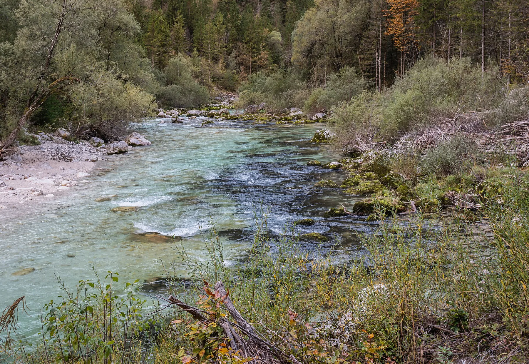
Triglav National Park’s Soča Trail links the river’s source with Bovec over twenty-five kilometres. The full route is a linear journey; the park explicitly allows shorter selections and different directions. A riverbank visit near Bovec and a complete source-to-town walk are therefore different plans. Route source
Choose the actual access points first, then solve the return. The official page mentions a summer bus between Bovec and Kranjska Gora, but that is not evidence of an October connection. A shorter, well-defined section can reveal more than a long route whose final transport remains an assumption.
The footbridges keep changing the view
The trail moves through woods and meadows and repeatedly uses suspension footbridges. Its named landmarks include the Small and Great Soča Troughs, Dom Trenta, the Alpinum Juliana botanical garden and the Mlinarica tributary gorge. A sequence of banks and bridges replaces the idea of one continuous towpath. Route source
Mlinarica was cut by a torrential stream before its meeting with the Soča. Treat its interpretation as the subject of a side visit; a gorge name does not mean an unrestricted route through the gorge itself. Route source
A valley with work, food and wildlife
The park’s interpretive brochure connects the route to Trenta’s former iron forges, sheep keeping and cheese, as well as the more obvious mountain scenery. It identifies the Kugy monument and surviving forge remains among seventeen interpretation points. These stops give the valley a human chronology alongside its flowing water. Route source
Marble trout and the white-throated dipper appear in the river interpretation. They offer more specific things to learn about than a general promise of wildlife sightings. The landscape is interesting even when the animals do not appear on demand.
A walking route is not a paddling assessment
The park describes the full trail as technically easy in snow-free conditions but physically demanding at its complete length, with some short steeper sections. That assessment concerns the footpath. It says nothing about whether a river stretch is suitable for a canoe or kayak. Route source
The brochure retained here dates to 2015. Its geography and local-history interpretation remain useful, while present access and transport must come from current notices. Keep the two kinds of information separate when building a day in the valley.
Sources & further reading
Sources, dates, or details to query? Read our editorial approach.