
Choose the east shore first
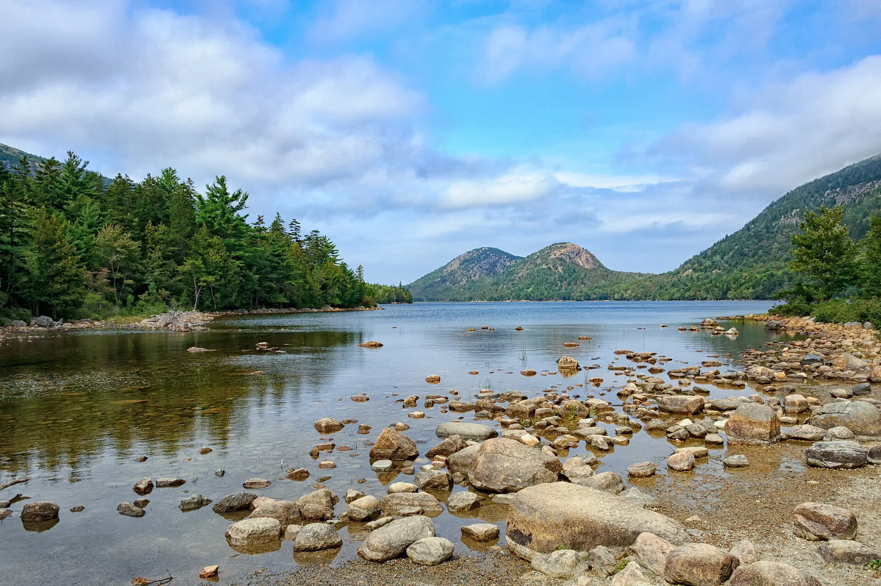
Jordan Pond Path begins near the boat launch. Starting along the east shore gives the walk its easier surface first: mostly crushed stone, with the rounded North and South Bubble hills framing the northern end of the pond. The detailed NPS route page gives the complete circuit as 3.3 miles and suggests one to three hours. Route source
An early return along this shore is a sensible alternative when the aim is a short lakeside walk. The whole circuit has a more varied surface, so the view from the launch should not be used to judge every mile ahead.
At the northern end, pay attention to the junctions
The trail meets the Bubbles Trail/Jordan Pond Carry and Bubbles Divide connections before crossing two log bridges. These are junctions in a wider walking network, not instructions to add a summit to the pond circuit. After the bridges, the west side meets Deer Brook Trail. Route source
The Bubbles remain useful visual landmarks while the path changes direction around the water. A circuit gives them a changing relationship with the pond, rather than repeating the familiar southern-shore photograph all the way round.
Boulders and planks on the west side
The west shore includes boulders, possible scrambling and raised wooden planks through the forest. This is why the full loop is not described as an accessible promenade. Near the end, a stone carriage-road bridge marks the final turn: go left to return by the water to the launch. Route source
Keep that terrain in mind when deciding whether to continue past the northern bridges. Completing a circle is a pleasing idea, but an out-and-back on the easier side may be the better walk for a particular group.
A drinking-water landscape
Jordan Pond supplies drinking water, so swimming and wading are prohibited. The nearby Jordan Pond House has a long hospitality history: it began serving guests in 1893, while the present structure followed the 1979 fire. The setting combines a working water supply, walking routes and a busy visitor destination. Route source Route source
Use the two-way Park Loop Road approach or investigate the seasonal Island Explorer bus. NPS specifically reports afternoon congestion; a quieter shore circuit should not be confused with a promise of empty parking. Route source
Sources & further reading
Sources, dates, or details to query? Read our editorial approach.


