
Begin at the inscribed steps
The Skyline Trail starts beside the Jackson Visitor Center at Paradise, at stone steps inscribed with John Muir’s words. The clockwise circuit climbs toward Panorama Point before returning through Paradise Valley and Myrtle Falls. NPS gives 5.5 miles, about 1,700 feet of ascent and a four-and-a-half-hour walking estimate. Route source
This is a route with a substantial upper half. The visitor center and roadside meadows make the beginning feel convenient, but the full circuit goes much farther into mountain terrain than the first paved paths around Paradise.
Two miles to Panorama Point
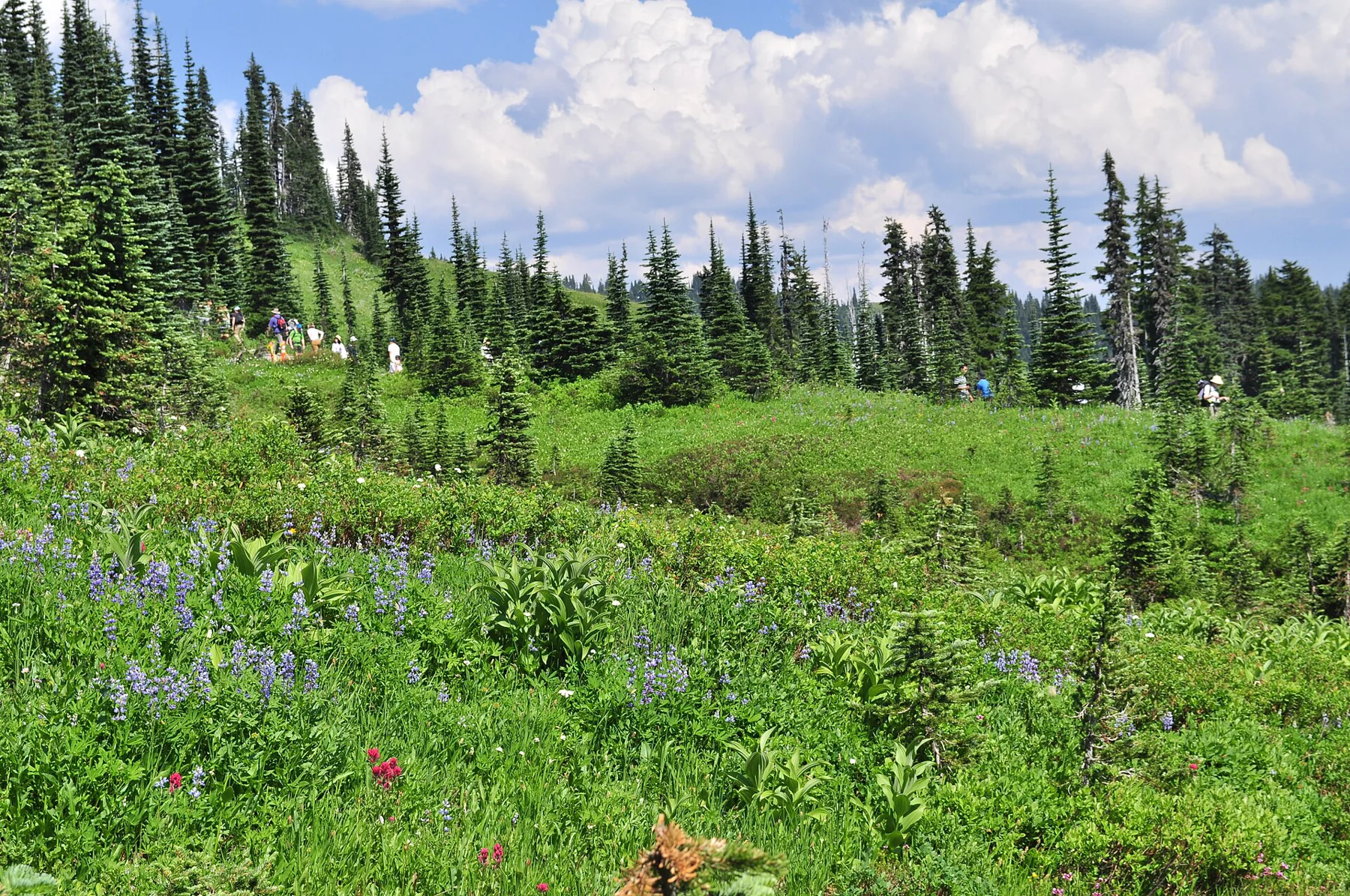
On the clockwise route, Panorama Point comes after approximately two miles. Views toward Nisqually Glacier give the ascent its immediate subject; a distant view of Mount Hood depends on visibility. Even when cloud obscures distant peaks, the route’s position above the Paradise meadows gives the climb its scale. Route source
Beyond the point, the official route uses High Skyline to avoid a persistent hazardous ice slope. That higher line has a practical purpose. Following the most obvious short cut across old snow is not an equivalent version of the park’s published trail.
The descent has its own landmarks
The trail rejoins above the Golden Gate junction, then continues toward the Stevens–Van Trump Memorial and the Paradise Glacier Trail junction. It is a named junction at which to check the next part of the loop. Farther down, the route crosses Paradise Valley and climbs slightly again before Myrtle Falls. Route source
That last rise matters when imagining the end of the walk. Reaching the lower valley does not mean every uphill step is over. The waterfall and its bridge give the final stretch a different scale from the glacier views above.
A summer circuit on a snow calendar
This description is of the established summer route. The October 2026 conditions page says Skyline updates resume in June 2027; it does not confirm a currently dry trail. High-elevation melt-out often begins only in late June or early July. The road to Paradise and the walking route need separate current checks. Route source
Golden Gate can make a shorter itinerary, but changing that junction changes the distance. Keep the quoted 5.5 miles attached to the complete Skyline circuit rather than every walk that shares its first steps.
Sources & further reading
Sources, dates, or details to query? Read our editorial approach.


