
Choose a road for your ride
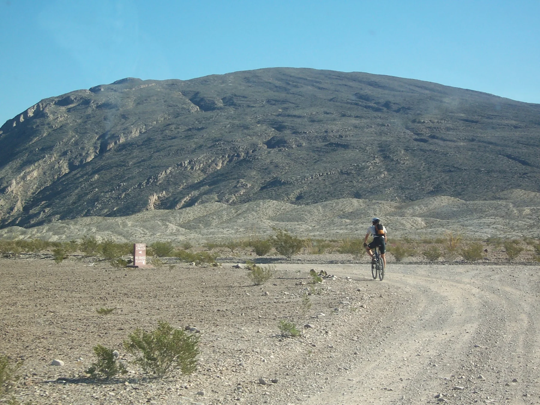
Big Bend offers over 100 miles of paved roads and 160 miles of backcountry dirt roads. That range makes route choice consequential: pavement can mean traffic on narrow park roads, while dirt routes bring rougher surfaces, sand, or rocky terrain. Bicyclists share roads with vehicles, and paved roads often have no shoulders. NPS
For a shuttle-supported ride, Panther Junction to Rio Grande Village is 20 miles paved and mostly downhill, with the elevation dropping 1,900 ft. The route has some hills and views of the Sierras del Carmen and Rio Grande in the distance. Large motorhomes and trailers are a concern, especially during fall, winter, and spring. A 2-mile unpaved spur reaches Hot Springs Historic District, where a shuttle can also meet you. NPS
A long scenic crossing
Panther Junction to Castolon via Ross Maxwell Scenic Drive is a 35 miles paved ride through scenic terrain, skirting the Chisos Mountains and passing geologic features and historic sites. Although the route loses 1,580ft. in elevation, steep hills make it strenuous. The broad views come with repeated changes in effort, rather than a simple downhill cruise. NPS
For a rougher shuttle-supported option, Old Ore Road is 26 miles unpaved and strenuous. The route is recommended north to south for an easier ride and views of the Chisos Mountains. Its rough, rocky road makes the terrain challenging; the stated start is at the edge of Dagger Flat Auto Trail on the road’s north end. NPS
Rides that return to their start
Without a shuttle, Grapevine Hills Road offers a moderate, 15 miles unpaved round-trip ride past interesting rock formations. Start at the junction of the paved road and Grapevine Hills Road, then return the same way. A 2-mile round-trip hike on Grapevine Hills Trail near the road’s end is mentioned as a variation. NPS
Dagger Flat Auto Trail is an easier 18 miles unpaved round-trip option. It is fairly flat, with a gentle uphill on the way out, and interesting plants along the route. Sand can bog a bicycle down. Paint Gap Road is another moderate 15 miles unpaved round-trip ride, with sand and rocks and especially rough ground near the end. NPS
Make the road-sharing decision
For a one-way ride to Santa Elena Canyon, Old Maverick Road runs 13 miles unpaved from the parking lot near Maverick Entrance Station. The route is easiest north to south and ends at the canyon. Seasoned riders may return to Maverick for a strenuous 26-mile trip. That choice makes shuttle availability central to whether the canyon is an endpoint or part of a return ride. NPS
Park traffic is sparse in summer and highest during March and early April and on holiday weekends throughout the year. Ride single-file, wear bright or reflective clothing, and stay alert. Big Bend is remote; rangers can assist visitors with special needs, though not all facilities are fully accessible. The listed seasons for biking are Winter, Spring, and Fall. NPS
Sources & further reading
Sources, dates, or details to query? Read our editorial approach.


