
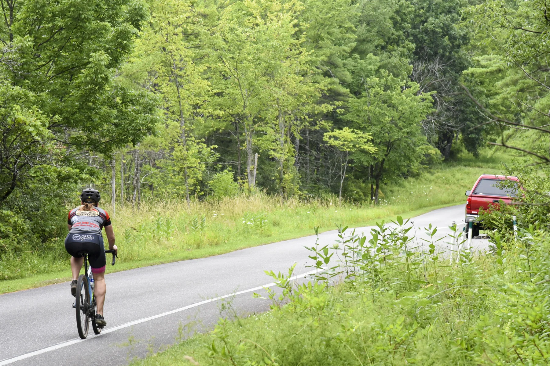
A one-way road through battlefield history
Saratoga National Historical Park’s Tour Road carries cyclists through places associated with the 1777 Battles of Saratoga. In the main riding season, the paved road provides access to ten stops, each with parking and interpretive signs. The landscape’s historic sequence unfolds from the road itself: this is a ride where each pause can bring the battlefield’s events into view. NPS
The Tour Road is one way, and cyclists are treated as vehicles: follow the posted speed limit and traffic flow, remain on paved surfaces and obey New York State bicycle laws. The route’s climbs and descents are substantial, so the park’s warning to bring water is practical; no water is available along the road, and fountains are turned off during winter. NPS
Plan for the full circuit or a shorter outing
The main Tour Road is 9.5 miles one way. At its end, riders who began at the visitor center turn right and ride 1.5 miles back to it; the full battlefield loop is about 11 miles. Steep inclines and downhills make gearing and pacing part of the decision, while the ten parking areas let visitors break the ride into pauses to explore the historic grounds. NPS
A service road appears just after the 5-mile mark and offers a shorter option, but it is gravel and has a steep hill. The park advises walking bikes there for safety. Riders who turn around to head back against traffic must walk their bikes on the right side of the road or in the grass. NPS
Season changes the road
The grounds are open daily, year-round, from sunrise to sunset, but vehicle access to the Tour Road changes in winter. From December to April, the road is closed to vehicles and staff plow sections for pedestrian use: from the parking lot to the service road, then from the service road to Stop 8. Plowed stretches may still be slippery or wintry, calling for caution. NPS
From April to November, the driving tour road is open to vehicles and the cycling route follows its paved surface. Some stop walkways may be difficult to access, including stops 2, 7 and 8. The visitor center has water fountains, but the road itself has none, so fill up before leaving. NPS
A shared historic corridor
The route is shared with other visitors, and pedestrians have right of way in the pedestrian/bike lane. Deer may stand on the roadway, adding another reason to keep speed controlled on descents and near blind sections. The paved road has steep grades, so riders should choose a pace and stopping plan that fits their comfort with hills and traffic. NPS
Leashed pets are allowed, with waste bags provided on the premises. For a ride focused on history, the stops offer repeated chances to leave the saddle and read interpretive signs; for a shorter spin, the service road is available, but its gravel and steep grade make walking the bike the supported choice. NPS
Sources & further reading
Sources, dates, or details to query? Read our editorial approach.


