
Begin at Picnic Grove #10
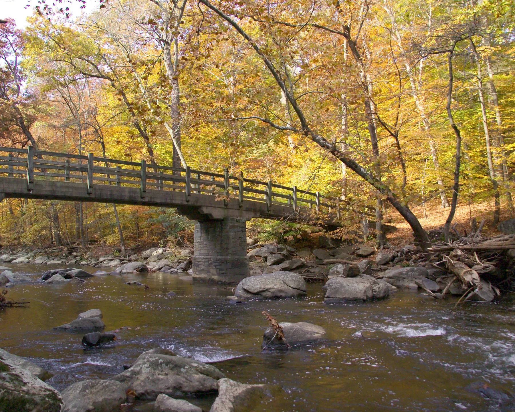
Picnic Grove #10 on Beach Drive NW is the start of this 8-mile loop through the northern section of Rock Creek Park. The reservable picnic area has a large parking lot and seasonal restrooms. Leave the lot to the right along Beach Drive; after .2 miles, cross Riley Spring Bridge and turn left onto the Valley Trail. NPS
Follow the creek to the boundary
Blue blazes and signposts mark the Valley Trail as it meanders beside Rock Creek for 1.5 miles to Boundary Bridge, at the District of Columbia and Maryland border. Cross there, taking care in the often crowded parking area, then cross Beach Drive and follow the Western Ridge Trail south for about two miles toward the Rock Creek Park Nature Center. NPS
The route combines paved roadways, paved hiker/biker paths, rugged foot trails, and broad bridle trails. The Nature Center is a landmark near this Western Ridge leg; check its current hours and facility availability before counting on a rest stop with restrooms or water. NPS
Ridge trails and a steep descent
Continue on Western Ridge past Glover Road NW and Ridge Road NW toward Picnic Grove #13 and the equitation field. After the field, take Cross Trail #9 left; it crosses vehicle-open Ridge Road and descends steeply to Beach Drive. That descent is the route’s most challenging section. A less hazardous option follows Western Ridge to Beach Drive, then heads north to Boulder Bridge. NPS
Cross Boulder Bridge and take the narrow, rugged Valley Trail on the right, climbing over a park hill. After about one half mile, turn left toward Beach Drive, cross it, and reach Rapids Bridge. On the far side, turn right onto Black Horse Trail and continue to Joyce Road NW. NPS
Creekside return and seasonal choices
Turn right on Joyce Road toward Beach Drive, then pick up the Valley Trail on the far side and head north. After almost a mile, cross Rolling Meadow Bridge, turn right onto Beach Drive, and return to Picnic Grove #10. Where Valley Trail feels too narrow or rugged, Beach Drive offers an alternative, though changing the route also changes its mileage. NPS
Late autumn and winter bring clearer views through bare trees, but trails are not cleared of snow and may hold ice or compacted snow. Spring and summer rain can raise creek water quickly; seek higher ground if water reaches trail level. The park is open from sunrise to sunset. NPS
Sources & further reading
Sources, dates, or details to query? Read our editorial approach.


