
Start with the easier miles
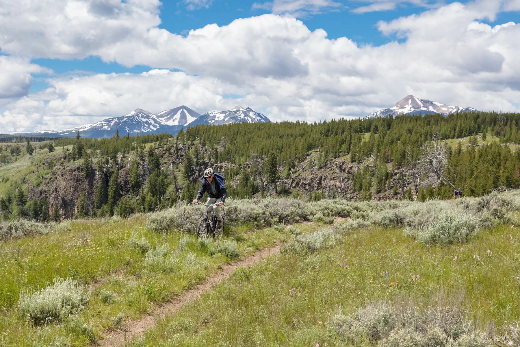
Near Yellowstone’s North Entrance, the Bunsen Peak Loop begins at the Bunsen Peak trailhead and circles the peak. Its first few miles are mostly flat dirt road; from the trailhead, the first three miles are described as mostly flat and potentially suitable for an out-and-back hand-cycle with mountain bike tires. Mountain bikes are highly recommended for the full route. NPS
The drop to Glen Creek
On the northeast side of Bunsen Peak, the road turns steep and winding, descending 960 feet in 2.5 miles to Glen Creek. Some curves have steep drop-offs, so this stretch changes the ride from a straightforward dirt-road start into a section requiring careful control and attention. NPS
The route meets Golden Gate Service Road near National Park Service garage buildings, then heads toward Joffe Lake. The source gives this segment as 1.5 miles; from there, the route follows Glen Creek drainage steeply uphill on a service road to meet Grand Loop Road. NPS
Choose the loop or a shorter ride
The full loop is listed as ten miles. A separate option is the relatively gentle ride from Bunsen Peak trailhead to Osprey Falls trailhead and back, listed as 6.5 miles there and back. Bikes are not allowed on the trail to Osprey Falls, so that option ends at the trailhead rather than continuing to the falls. Parking at Bunsen Peak trailhead is limited; the source advises going early. NPS
Terrain, wildlife, and season
The climb from the garage area back toward the main road is also very steep. The listed one-way elevation gain/loss is 1,120 feet; the separate descent figures describe particular sections and should not be mistaken for the whole route’s ascent. NPS
The trail is listed for Summer and Fall. Bears, bison, and elk frequent the area. Carry accessible bear spray and know how to use it; federal rules require staying at least 100 yards from bears and wolves and at least 25 yards from bison and other wild animals. NPS
Sources & further reading
Sources, dates, or details to query? Read our editorial approach.


