
A trail system with several starts
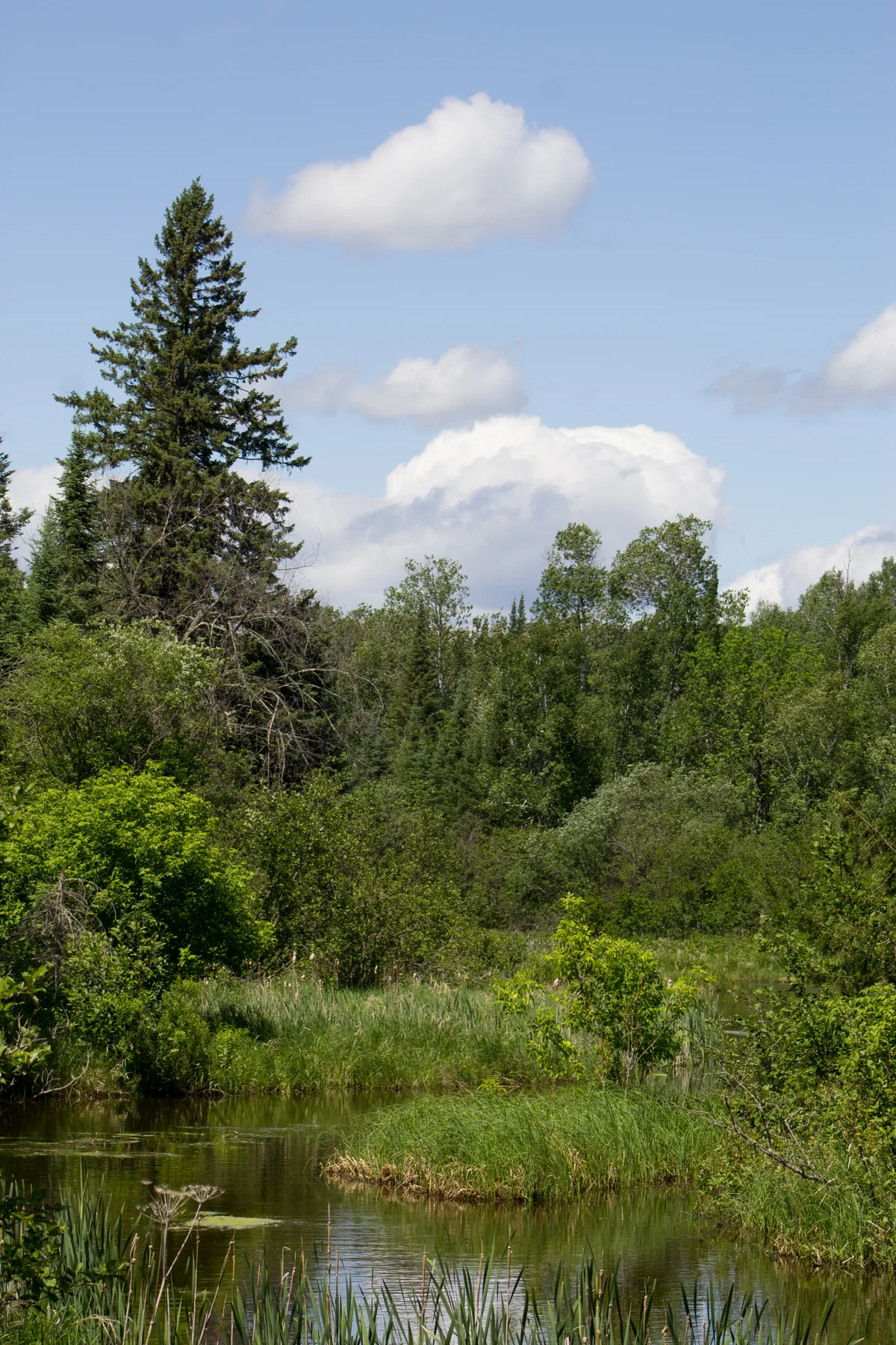
The Kab-Ash Trail connects the communities of Kabetogama and Ash River through an extensive network of backcountry paths. Its four trailheads make the outing adaptable: hikers can take a shorter section or plan a thru-hike that takes several days for an average hiker. The route moves through forests and wetlands rather than following one uniform corridor. NPS
Access currently remains open at trailheads along Ash River Trail, on Meadwood Road leading to Ash River Visitor Center, and at the easternmost terminus in Ash River. The Salmi Road entrance in the Kabetogama community is closed. Check with a visitor center about closures before setting out, since the useful starting point depends on which access is available. NPS
Forest, swamp, and open rock
The trail’s character changes with its ground. Forest and swamp sections can become narrow and overgrown with vegetation, while open rock outcroppings interrupt the route. At those exposed stretches, rock cairns mark continuation, but they are only aids: the park advises hikers to rely on their own wayfinding skills rather than human-made markers alone. NPS
That shifting terrain makes a small-section hike a practical way to experience the system without committing to its full length. Visitor centers can offer ranger insights and favorite day-hike sections. The trail is remote, rocky, and often tangled with exposed rocks and roots, so suitable footwear and preparation matter. It is not accessible. NPS
Timing and overnight options
Early spring and fall are recommended times to visit, when biting insects may be less prevalent. Conditions still vary by season, so pack food, water, clothing, footwear, and insect repellent to match the outing. In winter, the listed use is snowshoeing, a different way to move through the trail’s forest and wetland landscape. NPS
With advance planning and appropriate gear, hikers can stay at either of the trail’s two primitive campsites. Kab-Ash is the park’s only trail system where a backcountry camping experience does not require boat access. That makes it a distinct option for visitors who want an overnight wilderness route beginning from a land trailhead. NPS
Plan around the route’s limits
The trail’s interconnected layout offers flexibility, but remote stretches and changing vegetation make navigation central to the choice. A section hike can fit into a few hours; the complete route is a multi-day undertaking for an average hiker. Select an open trailhead, check closures, and plan for the specific forest, swamp, and exposed-rock conditions along the chosen segment. NPS
Sources & further reading
Sources, dates, or details to query? Read our editorial approach.


