
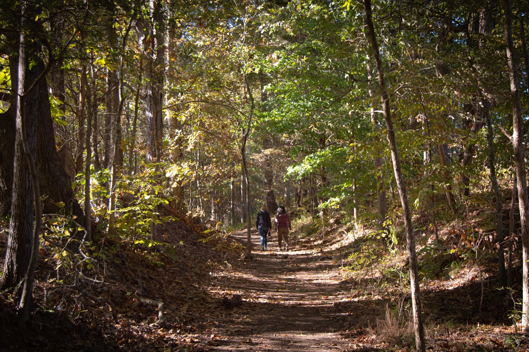
Many places, one historic route
The Trail of Tears is not a single continuous hiking path. Its hikeable portions are separate local experiences across multiple states, each tied to a route associated with the forced removal of Cherokee people from their homelands. Walking one section can bring the historic landscape into view while remembering Cherokee survival; the ground and interpretation differ from site to site. NPS
Near Tellico Plains, the Cherokee National Forest trailhead sits on the North Carolina–Tennessee border just off Joe Brown Highway. The 2.5-mile historic route follows the Unicoi Turnpike and has interpretive panels along the way, making it a choice for visitors seeking a longer walk with on-route context. NPS
Swales and surviving traces
At Mantle Rock Nature Preserve near Smithland, Kentucky, the Northern Route is marked by swales along a 2.75-mile trail. The broad depressions make the historic trace legible in the landscape, giving this walk a different character from a route explained mainly through signs. NPS
Other sites preserve similar ground features at a smaller scale. David Crockett State Park’s Bell Route near Lawrenceburg includes swales along 2.25 miles, while Port Royal State Park’s Northern Route has large swales on a very short trail. Village Creek State Park in Arkansas also has large swales on its 1.5-mile Bell Route. NPS
River crossings and town paths
At Moccasin Bend in Chattanooga, a signed trail of about 0.5 miles leads to the historic Brown’s Ferry Tennessee River crossing site. Fort Smith National Historic Site offers a shorter stretch along the river, while the Trail of Tears Greenway in Springfield, Missouri, marks its Northern Route with pedestrian signs. NPS
For an accessible, paved option, Charleston, Tennessee, has a signed interpretive trail of about 0.2 miles described as an ADA trail. Decatur, Alabama, offers a paved walking route of about .05 miles with a brochure for the tour. These urban paths provide a compact way to encounter the history, though access details vary by location. NPS
Choose the landscape that fits
The sites range from signed paths and paved walks to historic alignments with visible swales. Other options include the Mountain Goat Trail in Sewanee, signed along about 4.5 miles, and Hamburg Hill in Illinois, where the Northern Route has large swales along about 1 mile. The right outing depends on whether visitors want interpretive panels, preserved earthworks, a river landscape, or a short paved walk. NPS
Accessibility information and pet rules vary by site, so check with the individual location before visiting. These walks are opportunities to experience particular portions of the historic landscape and to reflect on the Cherokee people’s forced removal and survival, not interchangeable segments of a uniform trail. NPS
Sources & further reading
Sources, dates, or details to query? Read our editorial approach.


