
Choose an end and prepare
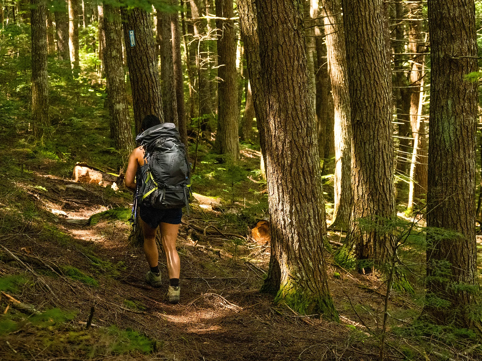
Within Katahdin Woods and Waters National Monument, the International Appalachian Trail covers approximately 28.9 miles. Hikers can start at Barnard Mountain Trailhead in the south or at North Gate; the described route begins at Barnard Mountain and proceeds north. The trail follows old logging roads and dense boreal forest, and some sections are overgrown with grasses, shrubs, and trees. NPS
A waterproof map matters here: signage can be hard to find and cell reception is very unreliable. There is no potable water, so carry enough or purify water before drinking. Late spring and summer typically bring high concentrations of biting and stinging insects. Barnard Mountain Trailhead is a small dirt and gravel parking area on Katahdin Loop Road, with a vault toilet. NPS
The river crossing decision
From the trailhead, the IAT follows an old logging road for approximately 1 mile before turning right, then continues north and northeast for approximately 2.5 miles to an intersection. Turn right and go approximately 1 mile east to Wassataquoik Ford, the crossing of Wassataquoik Stream. Crossing continues the northbound route; the ford can also be a sensible turning point for a shorter out-and-back. NPS
After crossing, look for the small rectangular white and blue IAT markers, often attached to trees. The route becomes dense and can be rocky, slippery, muddy, and uneven. From the ford, approximately 24.5 more miles remain to North Gate, so the stream crossing marks the start of a long remote section rather than a quick link to the finish. NPS
Ridges, lean-to, and river country
The northern stretch reaches scenic vistas atop Deasey Mountain and Lunksoos Mountain. Lunksoos Lean-to lies approximately 0.5 miles from Lunksoos Mountain and is a recommended through-hiking campsite. Camping is allowed only at designated sites; walk-ups are welcomed, while reservations are encouraged. Old logging roads and dense brush near the lean-to make close map and marker attention useful. NPS
At the intersection with Telos Tote Trail, turn left to stay on the IAT and follow the East Branch of the Penobscot River north. Smaller stream crossings and deep mud lie ahead. A suspension bridge comes approximately 3.4 miles from that intersection; beyond it, the route continues toward Haskell Gate and New River Road. The road is gravel and shared with motor vehicles, and private property lies across the bridge. NPS
A remote through-hike
The monument segment ends at the North Gate parking area, where a vault toilet is available. There is no access from Katahdin Woods and Waters National Monument to Baxter State Park. Uneven gravel and rocky ground, exposed roots, narrow vegetation-choked sections, stream crossings, and a road shared with vehicles all shape this route; pets must remain on a 6ft leash. NPS
Sources & further reading
Sources, dates, or details to query? Read our editorial approach.


