
A fault valley in plain sight
The Rift Zone Trail explores the valley floor along the San Andreas Fault, where earthquake evidence appears in diverted streams, shutter ridges, and sag ponds rather than a dramatic surface scar. Begin at Bear Valley Trailhead at the north end or Five Brooks Trailhead at the south; the described route runs north to south. NPS
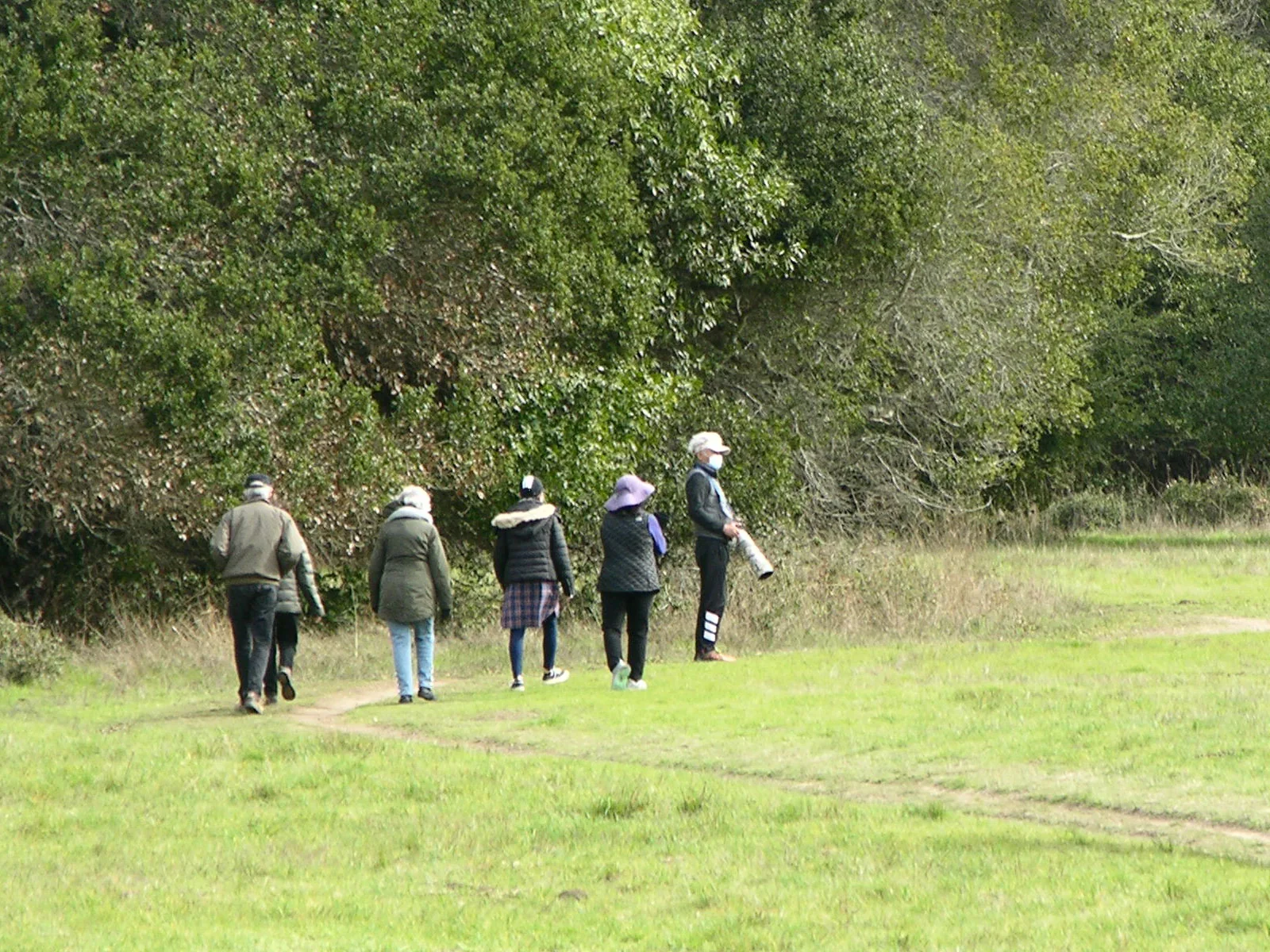
From Bear Valley, the trail heads east through a meadow, then crosses a bridge over tree-lined Bear Valley Creek. Just upstream from the crossing, a low ridge deflects the creek, an early clue to the valley’s seismic history. Beyond the bridge, the route climbs over a partially wooded shutter ridge and crosses another meadow that was formerly a cattle pasture. NPS
Gates, pastures, and private land
After crossing the Vedanta Society Retreat access road, the trail passes through private property and two active cattle pastures. The designated route can be difficult to distinguish from cattle paths; small signs on posts mark the way when they remain upright. Close each gate behind you and give cattle and horse riders plenty of room. NPS
The surface starts as narrow packed dirt and becomes narrower, rutted, and frequently muddy, with short moderate to steep sections. The route crosses fences and ranch-road junctions, so following the trail markers matters. Pets are prohibited. NPS
Into the woods
South of the pastures, the old ranch road runs between a fenced meadow and trees before entering the woods. A shallow sag pond appears about 1.8 miles from Bear Valley; young redwoods grow east of the trail beyond it. Farther on, the terrain becomes hillier, though the path is easier to follow through woods and meadows toward Five Brooks Horse Camp. NPS
The trail is shared with horses and crosses open rangeland. Treat both public park and private land respectfully, and stay with the marked route. A map is useful: the route description alone is not a substitute for one. NPS
Plan around access and conditions
The trail’s northern 0.3 miles from Bear Valley are fairly flat but only a couple feet across. Beyond that, expect narrower, rutted ground and frequent mud. The Vedanta Society property is open to the public from 8 am until 2 hours before sunset, a limit to account for when choosing how far to go. NPS
Winter brings the heaviest rainfall and potentially extended rain or drizzle; summer is often foggy until mid-day, while late September, October, and early November often bring the clearest days. The southernmost 0.2 miles are closed because of a severe washout; a detour via the Stewart Trail-Horse Camp Connector leads to Five Brooks Trailhead. Check current advisories before setting out. NPS
Sources & further reading
Sources, dates, or details to query? Read our editorial approach.


