
Begin beside the Delaware
The outing starts at Ten Mile River Access, where the route first follows the Delaware River past remains of the early settlements Reeves Mill and Tusten. Foundations and stone are the visible remnants of a history that included a sawmill, gristmill, and tannery among hemlocks along the river. NPS
From the river access, follow the gravel road north to a small stone bridge over a stream. Cross it and continue approximately half a mile to the trailhead sign and sign-in box in the woods on the right. Parking is designated at Ten Mile River Access; the road beyond is not a place to drive over the bridge and park beside the trailhead. NPS
From gravel road to forest trail
The broad gravel approach narrows to a dirt trail through white pines and mixed oak, maple, and beech forest. The route’s two branches, marked by yellow and red dots, connect to form the loop. The trail is not regularly maintained, and markers may be easier to see than the path on the forest floor. NPS
Underfoot, expect uneven ground, rocks, roots, and mud, with inclines and steep areas as the route climbs. Near the beginning when hiking counterclockwise, simple plank bridges cross ditches and small gaps; they have no railings. Downed trees and drop-offs are also among the possible obstacles. NPS
Bluestone and the high point
Bluestone, a durable blue-gray sandstone quarried along the trail, is a recurring feature of the climb. Look for scalloped edges on flat slabs left in piles, marks of human handwork among the rock formations. The route reaches over 1120 feet above sea level, with approximately 500 feet of elevation gain. NPS
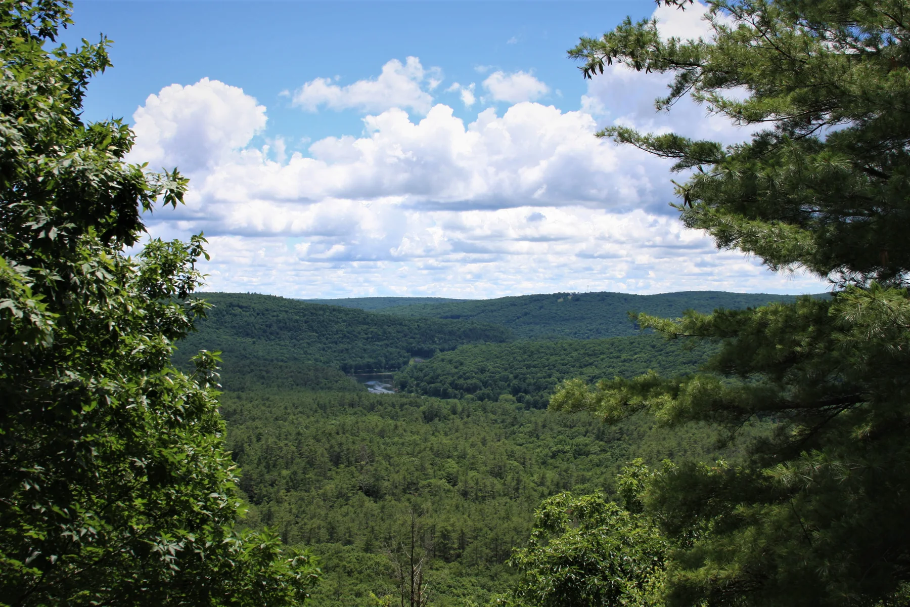
At the summit, the trees open to a view of the sparsely populated Upper Delaware River Valley. The loop links that high-country prospect to the river corridor and its settlement history, giving the outing a clear progression from water to forest to overlook. NPS
Seasonal footing and practical choices
The trail is open year-round, but heavy rain can leave it muddy and wet, while snow and ice can make sections slippery. Tusten Road is a seasonal limited-use highway and is not maintained between December 1 to April 15. During hunting season, wear bright or fluorescent orange or pink. NPS
Allow at least one hour for the approximately 3-mile loop. There are no restrooms or trash receptacles. Leashed pets are welcome, but waste must be carried out; ticks are a risk in every season, and cell connectivity is very limited along the river and trail. NPS
Sources & further reading
Sources, dates, or details to query? Read our editorial approach.


