
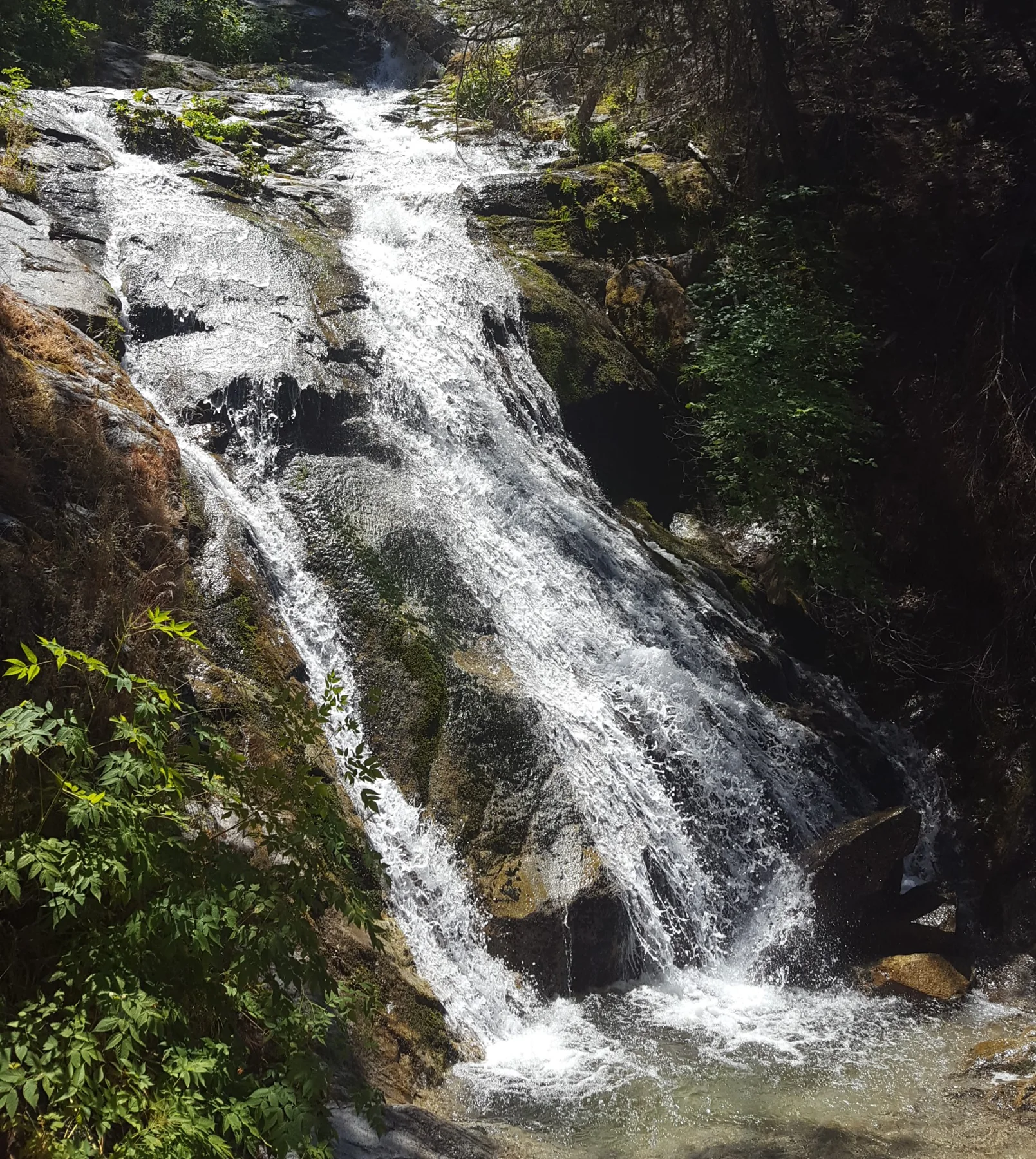
A forest route to Crystal Creek
The James K. Carr Trail leads to Whiskeytown Falls through a forested area that was only lightly affected by the Carr Fire of 2018. Old logging routes shape the path, which alternates between shade and sun. The falls lie on the east fork of Crystal Creek, which winds down the slope of Shasta Bally in a sequence of cascades dropping 220 feet. NPS
From the Visitor Center, the drive runs west along Highway 299 to Crystal Creek Road, then continues to the gravel lot on the left. The parking area sits above Crystal Creek’s forested ravine near the end of the paved road; a vault-style restroom is at the trailhead. The approach road and trailhead details help distinguish this start from other park access points. NPS
Down first, then steadily uphill
The trail begins at an elevation of 2200 feet and descends for about .25 miles before climbing steadily to the falls at 2900 feet. The changes in grade make the route feel different in each direction: the initial drop gives way to a sustained ascent, with the waterfall destination reached higher on the slope. NPS
The hike is 3.4 miles round trip, with an elevation gain of 700 feet. It is considered moderately strenuous, steep in places, and unpaved, with loose rocks, sand, and gravel. People with mobility issues are advised to use extra caution when considering the outing. NPS
At the cascades
About .25 miles from the end of the trail is a level picnic area. Steps and handrails along the cascades provide safety features as visitors approach the falls. Upper sections of the path have been damaged since the Carr Fire and may remain inaccessible until repairs are completed; obey closures and do not continue beyond them. NPS
At the Mill Creek trail junction, stay to the right. Mill Creek Trail is closed because of fire damage, so the junction is a meaningful route decision rather than an invitation to extend the hike. The stated destination is Whiskeytown Falls on the James K. Carr Trail. NPS
Choosing the outing
The park lists the hike as taking 2-3 hours. Its moderate-to-strenuous character comes from the steady climb, uneven loose surface, and steep sections, while the cascades offer a close look at Crystal Creek’s descent. Leashed pets are allowed on the trail. NPS
The route is listed in every season, but the source provides no seasonal conditions. Before going, the practical checks are the trail’s upper-section closures, the Mill Creek junction, and the gravel parking area on Crystal Creek Road. NPS
Sources & further reading
Sources, dates, or details to query? Read our editorial approach.


