
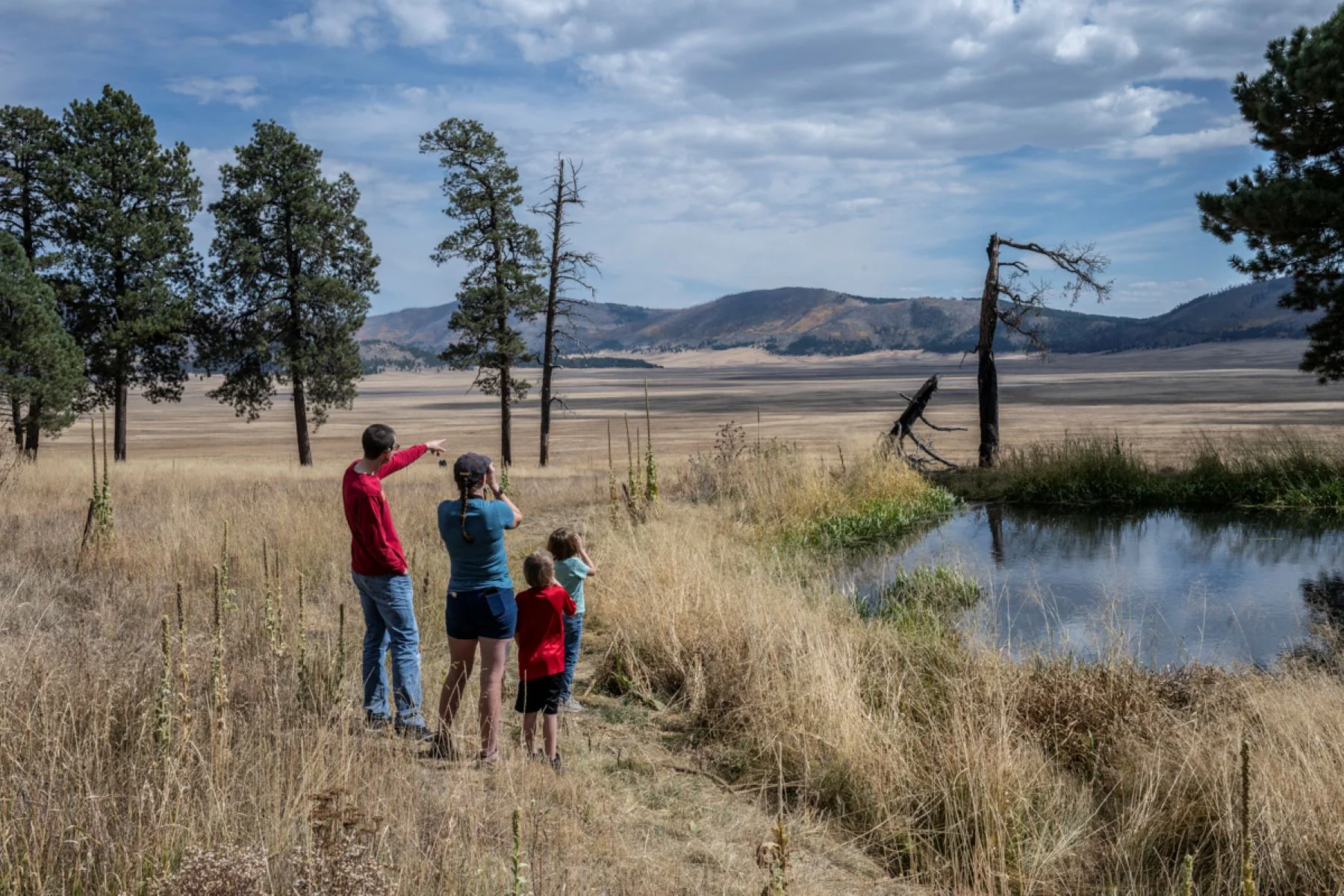
A landscape threaded by old roads
Valles Caldera offers a choice between flat walks across montane grasslands and steep climbs on forested lava domes. Much of the hiking follows old logging and ranching roads, a legacy of the private ranch that occupied the land for more than 150 years. The route underfoot and the effort can change sharply with the terrain: an easy grassland stroll and a demanding dome climb belong to the same preserve. NPS
Navigation is part of the outing
This is a place where a detailed map matters. Trails are not well marked, most trailheads lack signs, and the old road network can make route finding confusing. Use a navigable park map with a compass or GPS, and carry a paper map as backup; landmarks and topography are essential clues when signs are absent. NPS
Some trails cross areas burned in the Las Conchas Fire and Thompson Ridge Fire, where deadfall may force hikers to climb over or go around obstacles. Standing dead trees are hazardous, especially in wind or snow, so keep moving through those areas. Route conditions and trail management are still developing, and some routes may be improved while others are decommissioned. NPS
Choose your access and company
Hikers who want to drive to a trailhead beyond the Cabin District need a backcountry vehicle pass. The backcountry route opens to vehicles from May 15 to November 15, with 40 passes issued per day; passes can be reserved up to 3 months ahead. That access choice affects where an outing can begin, so plan around the Cabin District if you will not have a pass. NPS
Leashed pets are allowed only on Cerro La Jara Loop, South Valle Grande Trail, Rabbit Mountain Loop, and Cabin District Trail. Dogs cannot travel in vehicles beyond the Cabin District. The surrounding Santa Fe National Forest offers additional hiking choices for visitors with pets. NPS
Let the season set the plan
Winter brings several feet of snow between November and April, and temperatures routinely stay below zero. Groomed ski and snowshoe trails are available when snow conditions suit them, but pedestrians cannot use roadways open to vehicles in winter. Spring snowmelt makes April and May extremely muddy and can flood the valles, so wet-ground hikes can damage trails. NPS
Summer wildflowers appear after snowmelt drains from the mountains, and mornings suit hiking before afternoon monsoon storms, generally June–August. Fall brings colorful aspens and elk rut from September through November, along with active wildlife and common high winds. Weather can change rapidly; drainages and dry streambeds may flood without warning. NPS
Prepare for elevation and exposure
Much of the preserve sits above 8,000 feet, and the roads and trails are not wheelchair accessible. Carry adequate water: the dry, high-elevation climate increases needs, and there is no drinking water in the preserve except bottled water available at the Entrance Station and Ranger Station. Water from East Fork, Jaramillo Creek, San Antonio Creek, and springs must be treated before use. NPS
Sun protection, layers, navigation tools, food, first aid, and emergency shelter belong in the day-hike kit. Hunting takes place in spring and fall, when bright clothing and awareness are especially useful. Keep distance from wildlife, including elk, bears, and mountain lions; the preserve’s open routes still pass through a landscape shared with large animals. NPS
Sources & further reading
Sources, dates, or details to query? Read our editorial approach.


