
Choose a crossing by destination
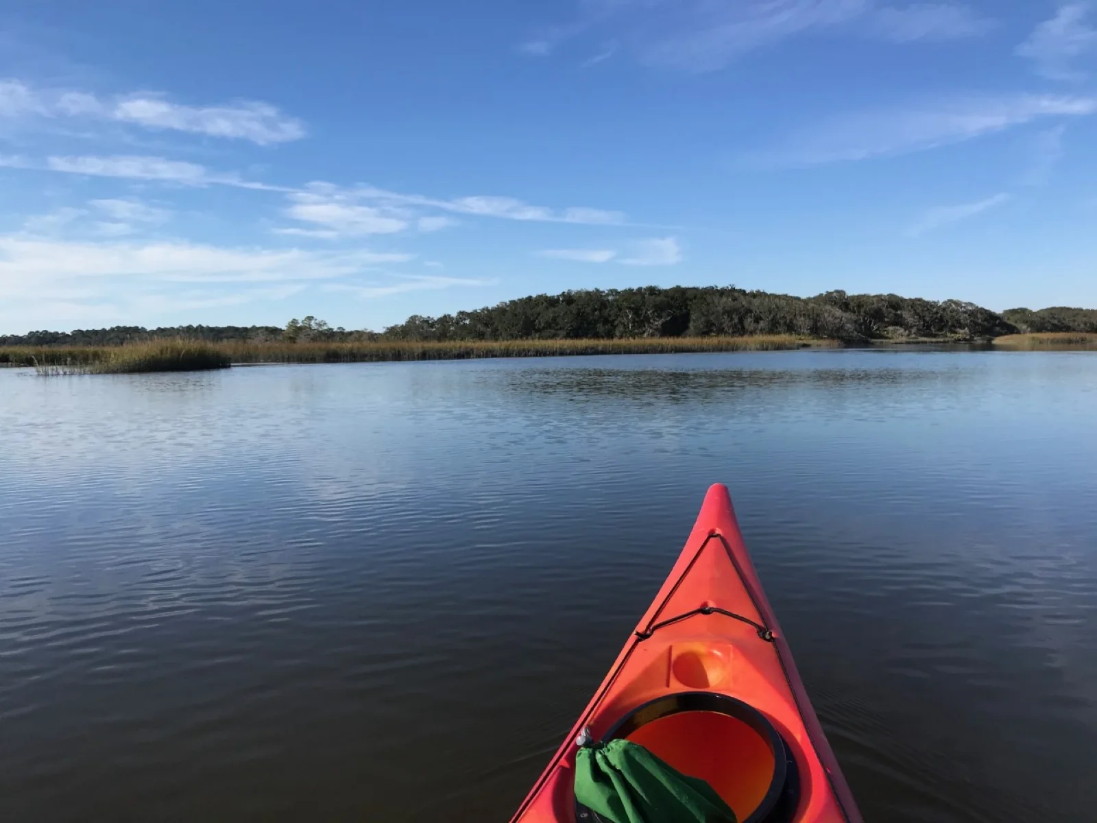
Cumberland Island is usually reached by passenger ferry, but kayaking makes the crossing itself part of the visit. The mainland launch depends on where you are headed: paddlers often leave Crooked River State Park for Plum Orchard Mansion or wilderness camps, while others launch from St. Marys or Amelia Island. A one-day paddle there and back can be difficult because distance and tides both matter. NPS
The listed one-way distances distinguish the destinations: Saint Marys to Dungeness Dock is 7 miles, and Saint Marys to Sea Camp Dock is 8 miles. From Crooked River State Park, Plum Orchard is 6 miles and Brickhill Bluff Wilderness Site is 11 to 12 miles. These are separate route choices rather than interchangeable ways to measure an island visit. NPS
Let the tide set the timing
Tidal currents around Cumberland Island are strong, with a rise and fall of 6 to 9 feet twice a day. Study a tide chart and seek favorable flow rather than paddling against it. High tide does not occur at the same time on the island and mainland, so use the station for the actual departure or arrival point. Relevant stations include St. Marys, Sea Camp Dock, Harriet’s Bluff, and Cumberland Dividings, closest to Plum Orchard. NPS
From Crooked River State Park, the suggested outbound timing is to start at high tide or soon after and ride the tide toward low water; for the return, start after low tide but before high. The St. Marys approach requires more detailed timing: aim to reach Cumberland Sound at dead low tide, then turn north up river. A tide still running out there can mean fighting the current. NPS
Open water calls for suitable gear
Wind speed and direction matter because open water surrounds the island. Marsh grasses can break up wind, but conditions can still become gusty and choppy. Touring or ocean kayaks are best suited to this water; carry a bilge or sponge for water entering the boat, and consider a compass or GPS for wayfinding. Check the marine forecast from the Jacksonville office of the National Weather Service before departure. NPS
If launching from Crooked River State Park, check ahead about overnight parking and entrance fees. Kayakers aged 16 or older must pay the park entry fee or carry an America the Beautiful pass. The island’s docks and river approaches make the landing point a planning decision as much as a navigation detail. NPS
Plan an overnight around the landing
Kayak campers need a reservation and a printed permit, and the planned dates should have favorable tides. Keep a backup plan in case weather makes the paddle unsafe. Kayaks can be pulled ashore at Plum Orchard dock, where they are stowed in the treeline south of the dock; at Sea Camp Ranger Station, behind the station; and at Brickhill Bluff Campground. NPS
The island’s named landings connect different outings: Dungeness and Sea Camp are reached from St. Marys, while Plum Orchard and Brickhill Bluff pair with Crooked River State Park. The source lists all four seasons for kayaking, but seasonal availability alone does not settle conditions: tide, wind, launch logistics, and camping arrangements still determine whether a crossing fits the day. NPS
Sources & further reading
Sources, dates, or details to query? Read our editorial approach.


