
Start with a road, not a trail
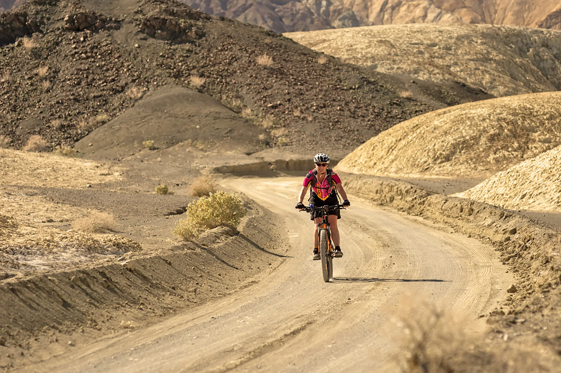
Death Valley offers hundreds of miles of little-trafficked dirt roads for mountain biking, from easy cruises to more technical rides. Bikes are not allowed on hiking trails, so route choice means choosing among roads whose grades, gravel, sand, and washboard change the character of the outing. Distances in the park’s suggested rides are one way. NPS
Salt Creek Road is the easy, mostly level option: its start is 13.5 mi west of Furnace Creek on Hwy.190, and the road runs 1.2 mi over graded dirt with moderate use. Farther east, 20-Mule Team Canyon Road starts 4.5 mi east of Furnace Creek on Hwy.190; its 3 mi of graded dirt include hills, and the park notes it can be made into a loop. NPS
Gravel and sand change the middle ground
Hole-in-the-Wall Road begins 6.5 mi east of Furnace Creek on Hwy.190 and covers 4 mi of loose gravel, with low use. On Emigrant Canyon Road, Skidoo Road starts 9.5 mi south of Hwy.190 and continues 7 mi over washboard gravel with some elevation. Aguereberry Point Road starts 12 mi south of Hwy.190 and runs 6 mi over gravel with rocky areas and elevation. These are distinct choices for riders comfortable with rougher surfaces. NPS
Near Panamint Springs, Lake Hill Road starts 3 mi east of town on Hwy.190. Its 5 mi bring rutted gravel, sand, and dips. Cottonwood Canyon Road starts 2.5 mi west of Stovepipe Wells; its 18 mi have a gentle grade, sometimes deep sand at the start, and rocky ground in the canyon. A modest grade does not make that surface uniform, so the start and the canyon demand different expectations. NPS
Longer routes bring distinct terrain
West Side Road starts 6 mi south of Hwy.190 on Badwater Road and runs 40 mi over level washboard and gravel, with medium use. Trail Canyon Road branches from West Side Road for 8 mi, climbing roughly into a canyon over rough ground with rocky spots and low use. Greenwater Valley Road starts 7.5 mi south of Hwy.190 on Dante’s View Rd Road; its 30 mi are slightly uphill with gravel and low use. NPS
Titus Canyon Road starts 2.7 mi east of the park boundary on Nevada Hwy. 374. Its 28 mi combine steep grades and loose gravel, with medium use. Racetrack Road begins at Ubehebe Crater and covers 27 mi over sharp rocks, gravel, and washboard. From Teakettle Junction on Racetrack Road, Hidden Valley Road runs 10 mi on gravel. The named starts make clear that some rides depend on reaching remote road junctions before the ride begins. NPS
Match the surface to current conditions
Across the park, surfaces range from graded gravel to unmaintained tracks with washboard and boulders. Check with a ranger about current road conditions before heading out; the listed surface is useful for comparing routes, but it does not establish what a road is like today. Winter, spring, and fall are the seasons listed for the activity. NPS
For a multi-day bikepacking trip, complete a Wilderness/Backcountry Use Permit on the park website or at Furnace Creek Visitor Center. For a shorter ride, the choice is still concrete: level graded dirt, a hilly graded road, sand and dips, or steep loose gravel all lead to different demands from rider and bike. NPS
Sources & further reading
Sources, dates, or details to query? Read our editorial approach.


