
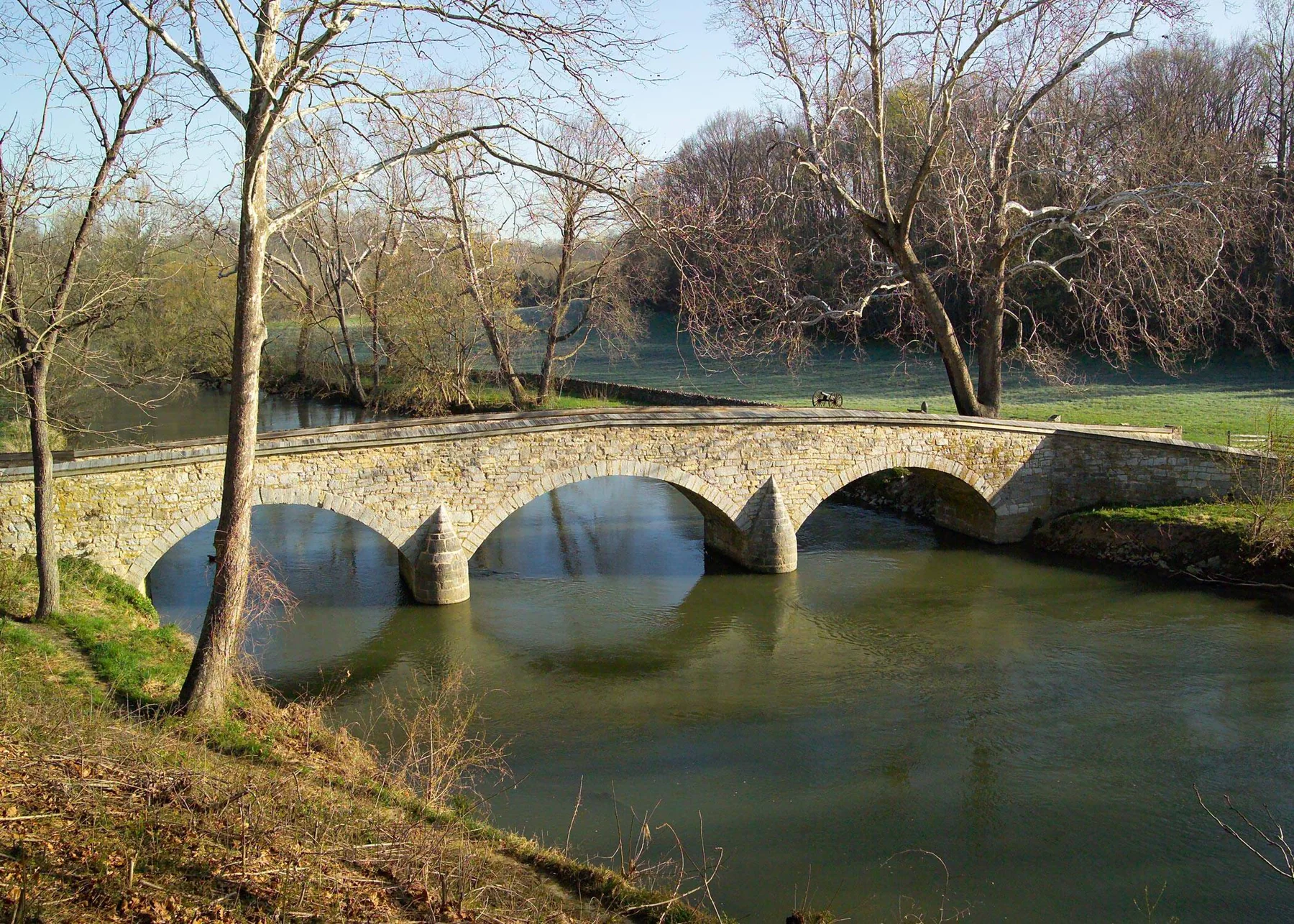
Cross the bridge into the route
The Union Advance Trail begins near the Burnside Bridge overlook patio and loops on the east side of Antietam Creek, crossing Burnside Bridge—also known as the Rohrbach or Lower Bridge. The route traces the ground where Confederates defended the crossing and where the Union Ninth Corps advanced to take it. The trail is one mile and takes about an hour; it is easy apart from two hills. NPS
Orient yourself at the Burnside Bridge overlook patio and follow the walking route across the bridge. The trail bed combines grass and dirt, can be slightly uneven, and has two hills about 100 feet tall; good walking shoes are recommended. NPS
Along the stone wall and ridge
After crossing the bridge, turn north and follow the stone wall to the first interpretive stop. From here, the trail turns south and climbs to the Burnside Bridge Overlook. The overlook stands in the center of the three Union attacks on the bridge, placing the route’s first hill in direct relation to the contested crossing below. NPS
The interpretation explains that Confederate Gen. D.R. Jones’s division held the high ground, while Gen. Robert Toombs’s brigade guarded the bridge and nearby hillsides. Union attacks came repeatedly from the bridge’s left side; the first two were forced back. The overlook and approach therefore show why the crossing was difficult: steep ground, exposed approaches, and Confederate fire shaped the advance. NPS
Creekside positions and memorial
Continue along the edge of the field with the creek on your right, descending the ridge to the 11th Connecticut Monument. Dedicated on October 8, 1894, it commemorates the regiment that led the first attack. The route then asks you to backtrack toward the fence and historic road running beside the creek, retracing part of the ground before the next stop. NPS
At the Fence Opening, the trail’s landscape clarifies the exposed approach: Union soldiers charged along the stream and up the road toward the bridge, facing fire from the higher ground across Antietam Creek. The route then returns toward the bridge for its final stop. This short sequence links the creekside corridor, fence, road, and ridge into a readable account of the attempts to reach the crossing. NPS
Finish at the Lower Bridge
Cross back over the historic bridge and climb the hill to return to the car. Known as the Rohrbach Bridge before the battle, it was completed in 1836 and remained in active traffic use until 1966; a bypass now carries cars to a new bridge upstream. The loop ends where the route began, at the structure that gives this battlefield walk its defining landmark. Leashed pets are allowed, and owners must clean up after them. NPS
Sources & further reading
Sources, dates, or details to query? Read our editorial approach.


