A seasonal closure changes the route, not the landscape
Rocky Mountain National Park closed Trail Ridge Road to through vehicle travel on November 13, 2026. The closure runs between Many Parks Curve on the east side and Colorado River Trailhead on the west. The National Park Service says the road remains open on the closed section to pedestrians and bicyclists during winter. That is a specific access distinction: a route that connected Estes Park and Grand Lake by car in summer no longer works as a winter drive-through, even though the roadway still has limited nonmotorized use. The event date is November 13; this article is published November 17. NPS winter closure release NPS park road status
The park’s road page reports the same two closure points and says its status message will be updated when conditions change. It also describes Trail Ridge Road as a 48-mile one-way crossing that reaches 12,183 feet. Those facts help explain why a line on a road map should not be mistaken for a continuous winter itinerary. Start by deciding which side of the park you can reach, then identify the closure boundary relevant to that approach. Do not plan a vehicle shuttle or through ride across the pass on the assumption that a summer map still describes access. NPS park road status
Read “open to bicycles” with the road boundary in view
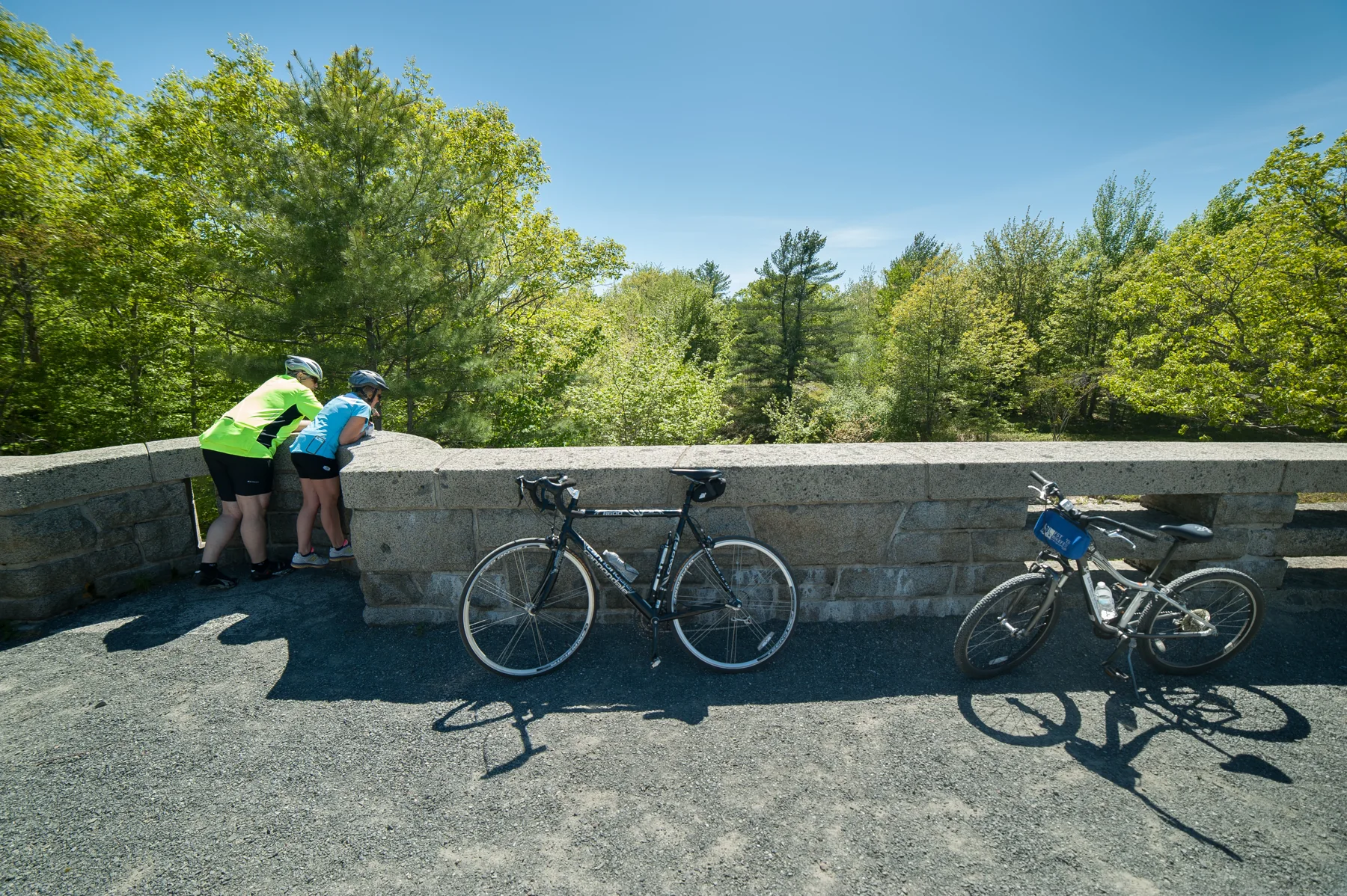
The winter permission is narrow. The park says bicycles are allowed on the road, not on side trails or tundra. A rider therefore needs to treat the pavement itself as the route and turn around at the park’s stated closure point; the release does not describe a signed bicycle detour across the closed section. Pedestrians have the same basic map problem: an open roadway is not evidence that adjacent trails, facilities, or connecting routes are also open. Check the relevant park pages and signs for each piece of the day’s plan. NPS winter closure release
Make the turnaround part of the itinerary before leaving the trailhead. Write down the access point, the road segment you intend to use, the relevant closure boundary, and the point where you will reverse direction. If the group is using separate vehicles, decide in advance whether everyone returns to the same side; a closure that divides a road network can make an informal pickup plan fail. Avoid making the route depend on an unverified trail connection or on crossing the boundary by any mode the park has not authorized.
Treat elevation and weather as active route constraints
Trail Ridge is not an all-season road. The NPS release notes that eleven miles are above 11,500 feet, with few guardrails and no shoulders, and says high winds, drifting snow and below-freezing temperatures commonly occur above 10,000 feet. It warns visitors to prepare for harsh, rapidly changing high-elevation conditions. For a cyclist, the lack of a shoulder and the exposed setting matter even when the road surface appears passable; for a walker, the long distances between access points and the same exposure shape how much time and clothing a plan needs. These are reasons to assess a trip carefully, not a claim that conditions are safe on a particular day. NPS winter closure release
The park’s trail-conditions page reinforces the limit of a dated report: its latest report was updated October 22 and says trail conditions may be the same, better or worse by the time a visitor arrives. It recommends checking weather and preparing for change. That report cannot describe today’s Trail Ridge Road conditions on November 17. Before setting out, check the park’s road-status page and recorded status line, current weather, and any newer notices; if the information is stale or the conditions exceed the group’s equipment or experience, choose another outing. NPS trail conditions
A compact pre-trip worksheet
Use four lines to keep the plan concrete: (1) access side and confirmed approach; (2) intended road distance to the turnaround; (3) current closure boundary and status source; and (4) a return time that leaves room to retrace the same road. Add a separate note for weather, clothing, traction, food, water and communication. This is especially useful when a map offers a tempting full crossing: the winter trip may be an out-and-back on one segment rather than a pass-through journey.
The NPS describes some lower-elevation scenic drives that remain open in winter, including Bear Lake Road and Endovalley Road, but each has its own road and trail status. Treat those as separate options to research, not automatic substitutes for Trail Ridge. The reliable takeaway from the November closure is simple: the road’s nonmotorized winter allowance does not restore through travel, and it does not promise a stable surface or favorable weather. Build the route around the park’s current information, observe signs and barriers, and be ready to turn back. NPS winter closure release
Sources & further reading
Sources, dates, or details to query? Read our editorial approach.